#ShadedRelief
Explore tagged Tumblr posts
Text
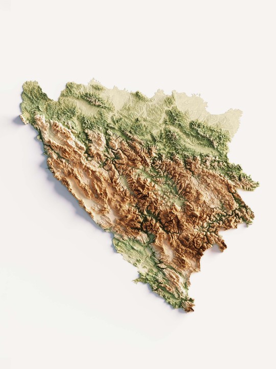
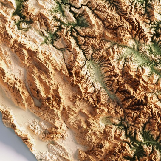
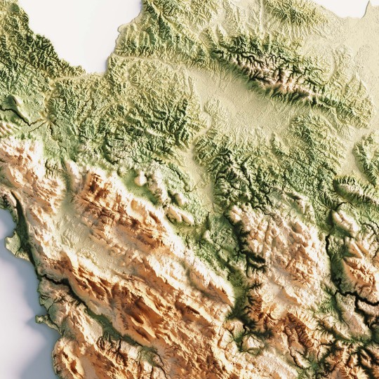
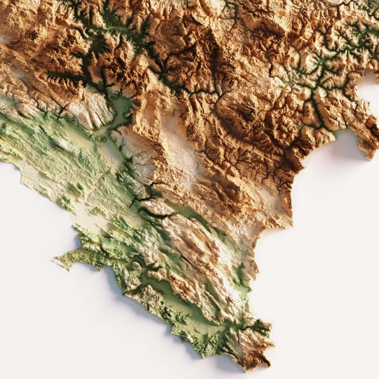
This elevation map was made as custom creation for a client, then we find really interesting the result, so re-make the map to fit our aesthetics lines.
If you like our work, want to see our daily updates (or want to say hello to our studio), consider to follow our Instagram or Twitter account. Otherwise if are interested in our prints or have a custom request check our shop.
7 notes
·
View notes
Photo
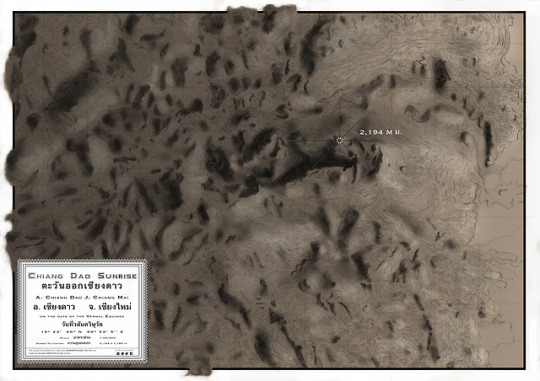
Chiang Dao Sunrise (2017)
Shaded relief map of Thailand’s third tallest peak, at the foot of which Shambhala In Your Heart Festival is held annually in February.
#mostserene#handdrawnmap themapisnotthethingmapped#contours shadedrelief#artmap#mountains doiluangchiangdao
1 note
·
View note
Photo
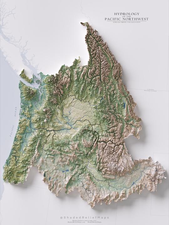
"Hydrology of the Pacific Northwest Region - Stream Order [OC]"- Caption by shadedrelief - Detail: https://ift.tt/37qXZqv. Filed Under: 1,000 ways to visualize Data. Curated by: www.eurekaking.com
0 notes
Text
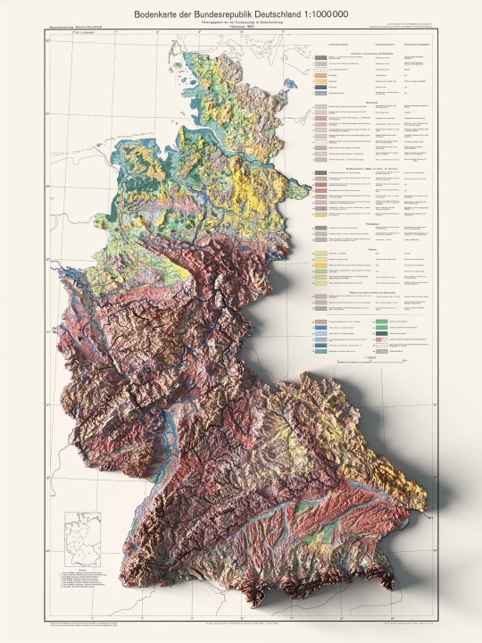
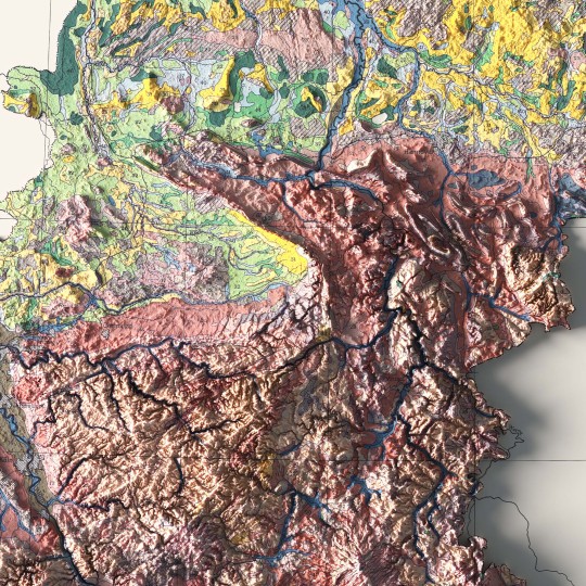
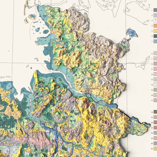
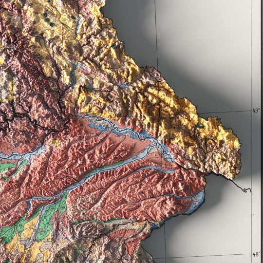
An unusual map of BDR from 1962.
🗺️ 𝗠𝗔𝗣 𝗜𝗡𝗙𝗢
Bodenkarte Der Bundesrepublik Deutschland, Bundesanstalt Fur Bodenforschung; 1963. Source: ESDAC.
If you like our work, want to see our daily updates (or want to say hello to our studio), consider to follow our Instagram or Twitter account. Otherwise if are interested in our prints or have a custom request check our shop.
4 notes
·
View notes
Text
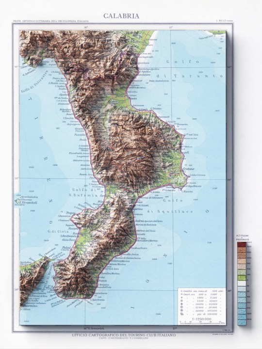
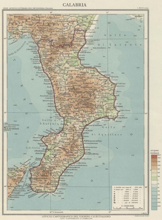
The great absentees from our collections on Italy were the southern continental regions. Today we share this map of Calabria made in 1930 by the Touring Club. The second image is the original map, before our restoration and relief work.
If you like our work, want to see our daily updates (or want to say hello to our studio), consider to follow our Instagram or Twitter account. Otherwise if are interested in our prints or have a custom request check our shop.
#cartography#geography#shadedrelief#maps#gis#mapart#calabria#vintage italy#touring club#messina#catanzato
5 notes
·
View notes
Text
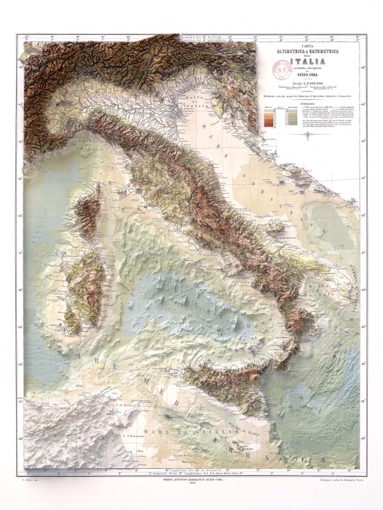
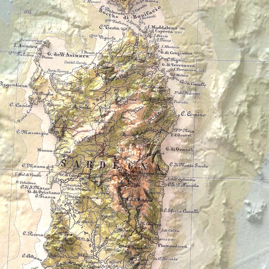
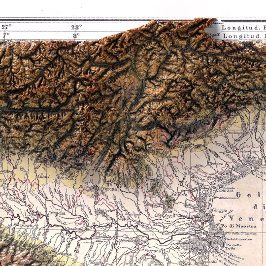
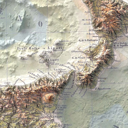
For this map we decided to display the relief in two variants: one with elevation only and one with bathymetry added.
This map was realized in 1888 and with the digital restoration we tried to find the original coloration.
The ancient inscription reads:
"Carta altimetrica e batometrica dell'Italia, costrutta e disegnata da Guido Cora, pubblicata sotto gli auspici del ministero d'agricoltura, industria e commercio dall'Istituto Geografico Guido Cora, 1888."
Source of the old map: BnF Gallica.
If you like our work, want to see our daily updates (or want to say hello to our studio), consider to follow our Instagram or Twitter account. Otherwise if are interested in our prints or have a custom request check our shop.
#italy#cartographyart#cARTography#vintagemaps#elevationmap#3dart#blender3d#digitalart#mappart#geography#shadedrelief#maps#datavisualization#mapart
7 notes
·
View notes
Text
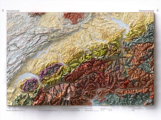
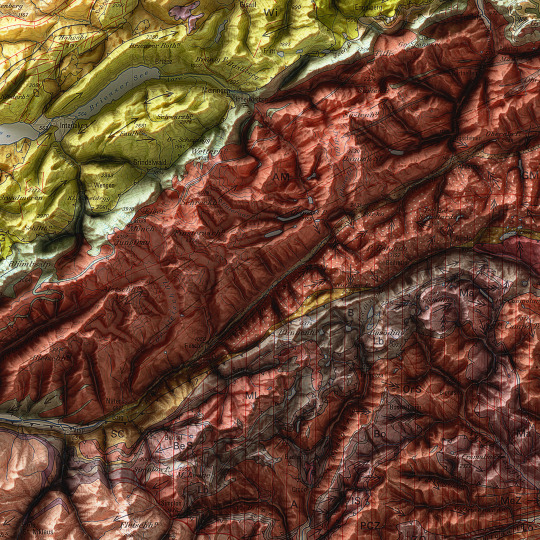
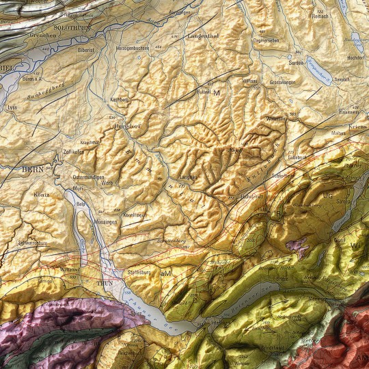
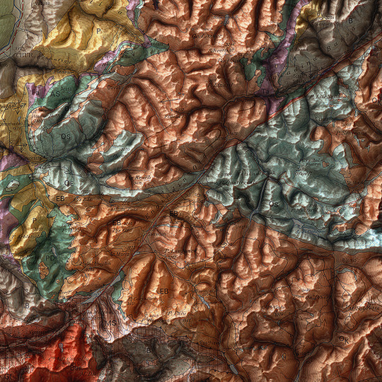
As announced, a new map has been added to the European collection.
We had started this paper years ago, but it had never been finalized. Since we didn't even have a dedicated map of Switzerland yet, we thought it was appropriate to remediate!
This is a geotectonic map of Switzerland that among the authors also has Imhof. It was realized in 1972 but published in 1978 inside the Atlas of Switzerland.
You can find the original sheet in the David Rumsey Map Collection.
If you like our work, want to see our daily updates (or want to say hello to our studio), consider to follow our Instagram or Twitter account. Otherwise if are interested in our prints or have a custom request check our shop.
#switzerlandnature#switzerland🇨🇭#switzerlandtour#switzerlandmylove#switzerlandvacations#berna#ticino#ticinoturismo#geneva#ginevra#geotettonica#geotectonic#geologia#geologist#MapCenter#designmap#shadedreliefmap#shadedrelief#gis#blenderart#blenderartist#cartography#imhof#imhoff#digitaldesign#digitaldesigner
11 notes
·
View notes
Text
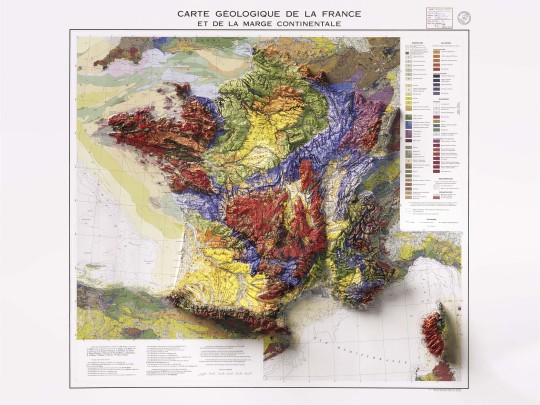
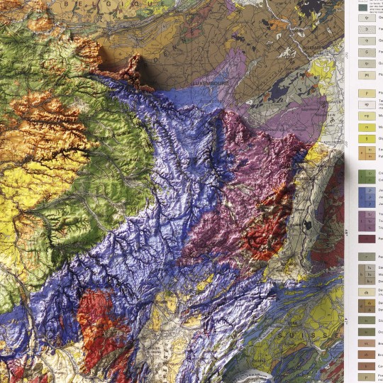
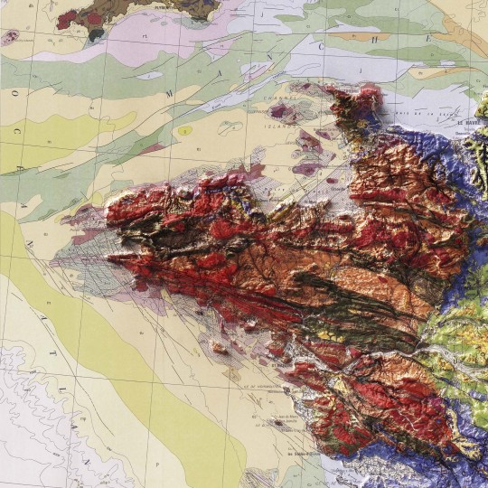
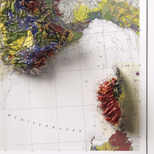
Shaded relief geological map of continental France, 1980.
🗺️ 𝗠𝗔𝗣 𝗜𝗡𝗙𝗢
Carte geologique et marge continentale, 1980. Département des Arts graphiques du B.R.G.M. Source: ESDAC.
If you like our work, want to see our daily updates (or want to say hello to our studio), consider to follow our Instagram or Twitter account. Otherwise if are interested in our prints or have a custom request check our shop.
#GeologicalMap#FranceMap#ShadedRelief#CartographyArt#MapDesign#GeologyMap#VintageMaps#BRGM#MapLovers#ReliefMap#MapCollection#GeologyArt#TopoMap#EarthScience#CartographyCommunity
5 notes
·
View notes
Text
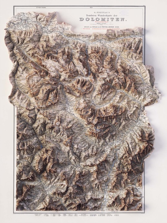
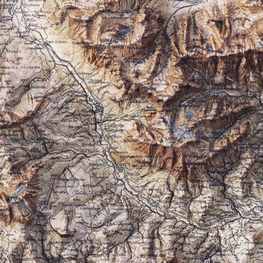
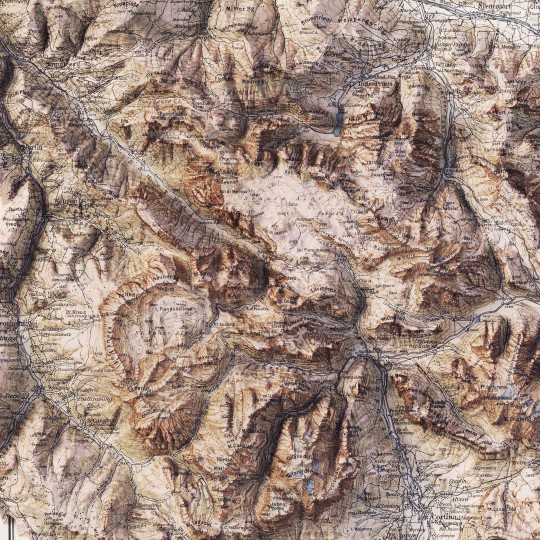
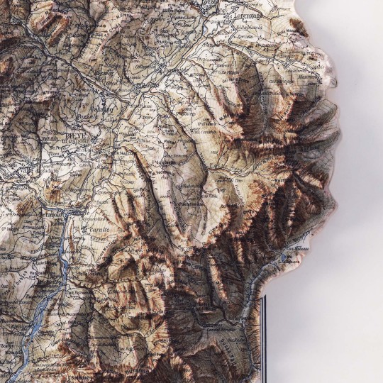
2D printed shaded relief map with 3D effect of a topographic map of Dolomites (Italy), printed and published by G. Freytag & Berndt in 1903.
If you like our work, want to see our daily updates (or want to say hello to our studio), consider to follow our Instagram or Twitter account. Otherwise if are interested in our prints or have a custom request check our shop.
9 notes
·
View notes
Text
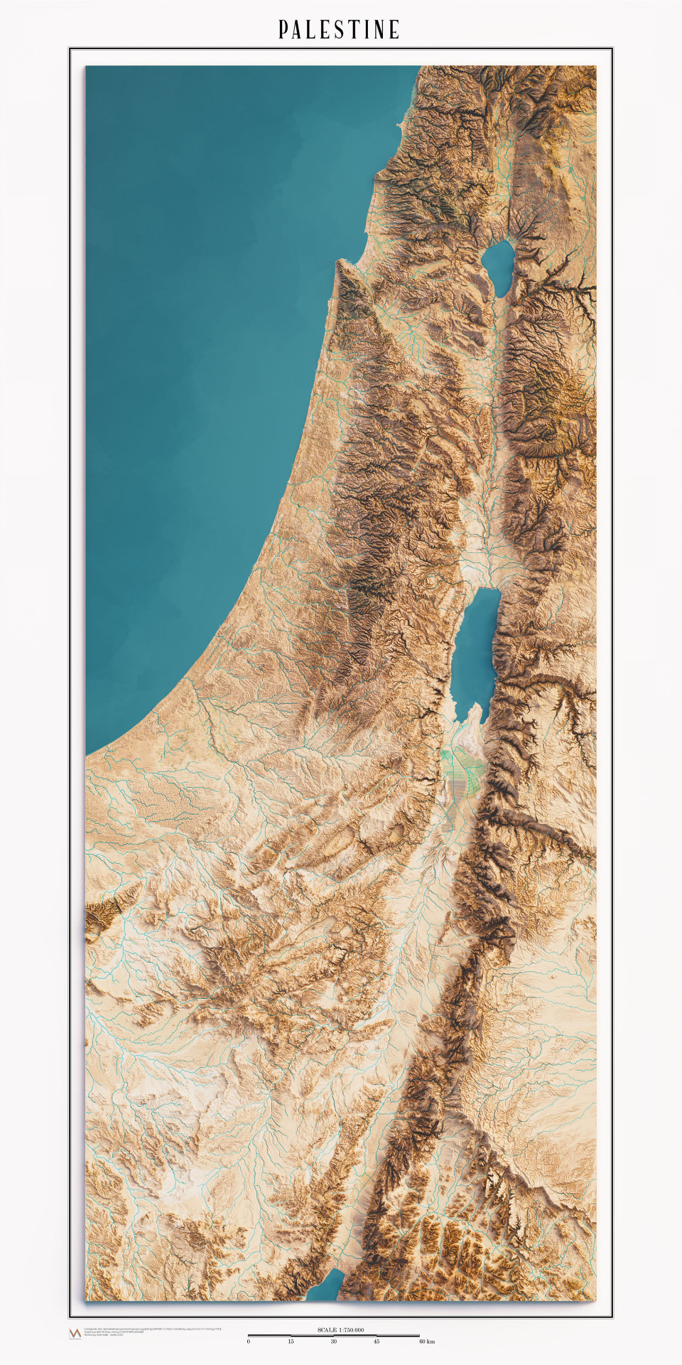
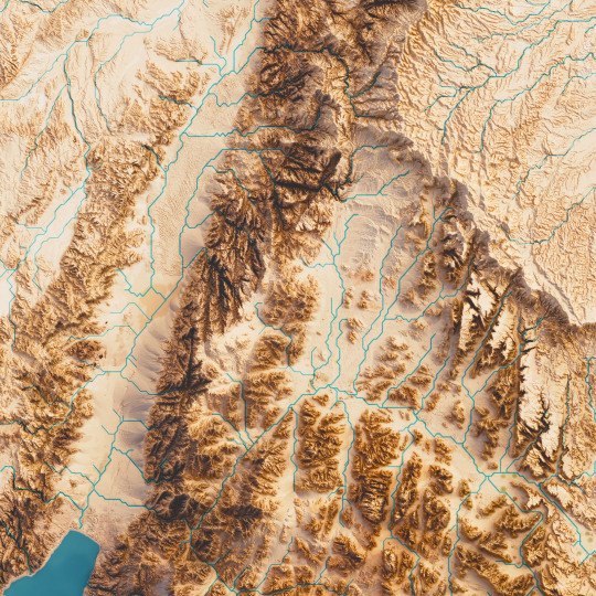
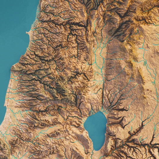
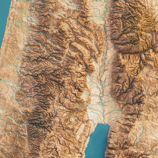
New map of Palestine land.
This map was realized mixing satellite imagery and elevation tint,with full saturation and dense colours.
We decided to avoid labels to leave more expressiveness in the territory.
The map is available at vizcart.io
If you like our work, want to see our daily updates (or want to say hello to our studio), consider to follow our Instagram or Twitter account. Otherwise if are interested in our prints or have a custom request check our shop.
#cartography#geography#shadedrelief#dataviz#maps#blender3d#datavisualization#mapart#palestine#asia#dead sea#gis#satellite
3 notes
·
View notes
Text
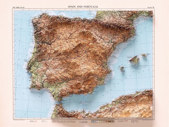
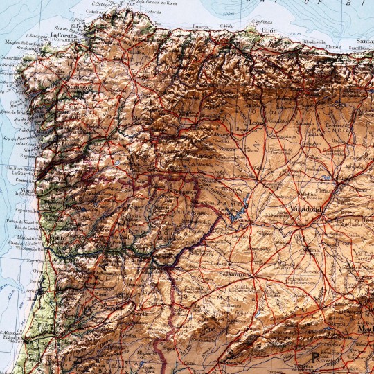
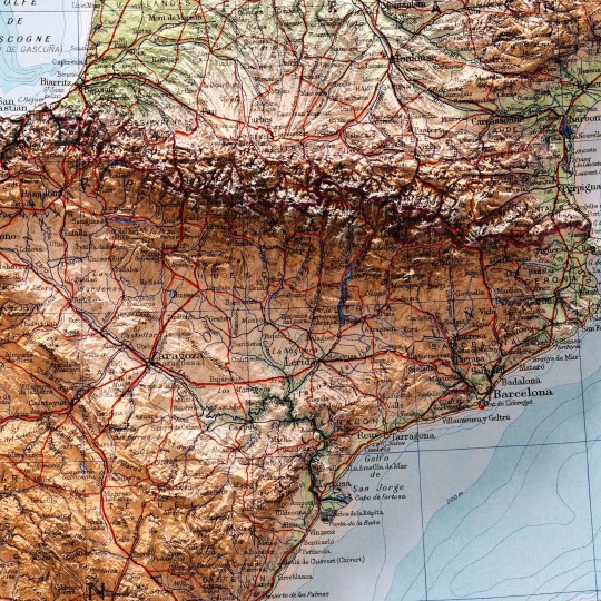
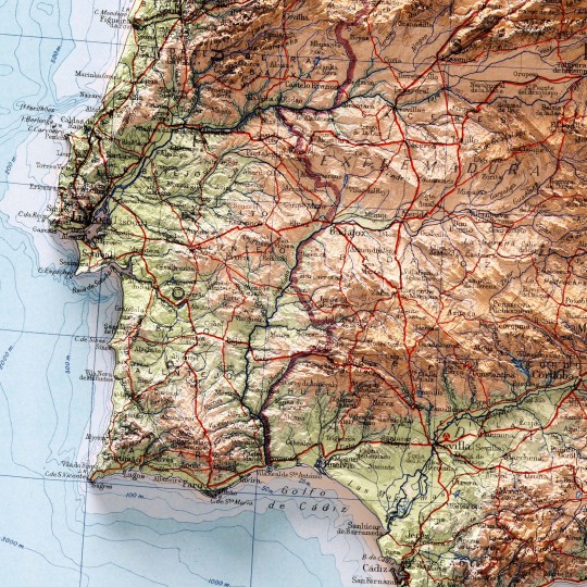
We realised there were plenty of maps on Spain, Portugal and more specific places in those states, but we realised there was one big absentee: a map covering the entire Iberian peninsula, so here it is.
This map was prepared by J. Bartholomew and published in The Times Atlas of the World. Mid-Century Edition by Houghton Mifflin Co. in 1956.
If you like our work, want to see our daily updates (or want to say hello to our studio), consider to follow our Instagram or Twitter account. Otherwise if are interested in our prints or have a custom request check our shop.
#iberian#iberianpeninsula#spain#espa#madrid#travel#portugal#lisboa#porto#europe#iberia#map#geography#cartography#mapart#history#atlas#antiquemaps#oldmaps#geospatial#vintagemaps#topography#shadedrelief
5 notes
·
View notes
Text


It's been a long time since we've posted hypsometric maps, so today we're sharing another piece from the "White" collection. Shaded relief map of minimal Sardinia in white with slight blue shading.
You can find the new Sardinia “Coral” on the website, which we will publish soon!
If you like our work, want to see our daily updates (or want to say hello to our studio), consider to follow our Instagram or Twitter account. Otherwise if are interested in our prints or have a custom request check our shop.
#cartography#geography#shadedrelief#sardinia#italy#minimal art#3dart#posterdesign#cagliari#alghero#olbia#sassari#island
3 notes
·
View notes
Text
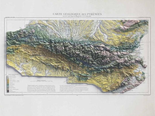
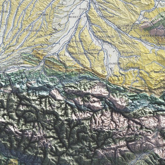
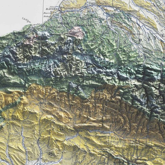
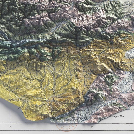
Pyrenees, shaded relief geological map.
🗺️ 𝗠𝗔𝗣 𝗜𝗡𝗙𝗢
Carte géologique des Pyrénées / dressée par Emm. de Margerie ; et Fr. Schrader, Annuaire du C. A. F. 1891, Hachette (Paris). Source: Gallica.
If you like our work, want to see our daily updates (or want to say hello to our studio), consider to follow our Instagram or Twitter account. Otherwise if are interested in our prints or have a custom request check our shop.
#cartography#maps#PyreneesMap#VintageMaps#ShadedRelief#CartographyArt#HistoricalMaps#MapLovers#GeographyArt#VintageCartography#MountainMaps#ReliefMapping#MapCollection#OldMaps#19thCenturyMaps#MapAesthetics#TopoMaps
3 notes
·
View notes
Text
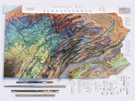
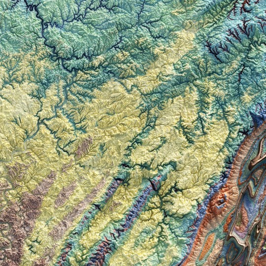
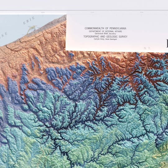
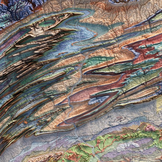
From the 1960s, a (restored) school geological map of Pennsylvania, obviously with shaded relief!
🗺️ 𝗠𝗔𝗣 𝗜𝗡𝗙𝗢 Geologic map of Pennsylvania, Topographic and Geologic Survey, Commonwealth of PA, 1960. Source: David Rumsey Collection.
If you like our work, want to see our daily updates (or want to say hello to our studio), consider to follow our Instagram or Twitter account. Otherwise if are interested in our prints or have a custom request check our shop.
#Pennsylvania#pittsburgh#usmap#mapdesign#GeologyPA#VintageMap#PennsylvaniaHistory#ShadedRelief#GeologicHeritage#PAExploration#RockFormation#GeologicalTreasure#EarthScience#PennsylvaniaGeology#GeologicWonders#LandscapeHistory#GeologicalArt#ElevationData#GeologicMapping#BedrockGeology#NaturalHistory#GeospatialData#GeologicFeatures#MapArt#vizart
4 notes
·
View notes
Text
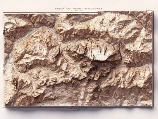
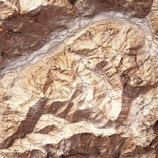
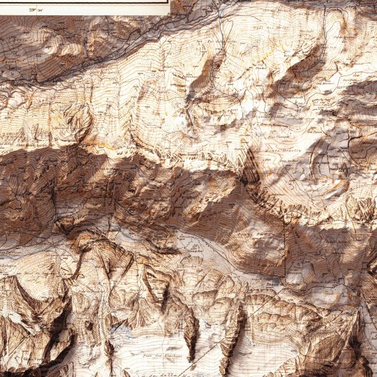
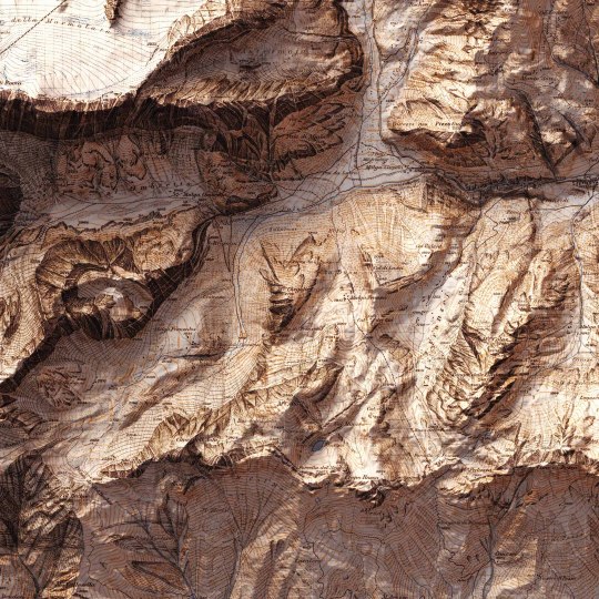
Today we show you the queen of the Dolomites: the Marmolada. The original map was made in 1926 by Freytag-Berndt. We restored it and gave it new life with shaded relief. If you like our work, want to see our daily updates (or want to say hello to our studio), consider to follow our Instagram or Twitter account. Otherwise if are interested in our prints or have a custom request check our shop.
#mountains#mountainlife#mountainlovers#dolomites#dolomitesunesco#dolomitesitaly#marmoladaglacier#marmolada#marmoladapassofedaia#cartography#cartographyart#mapart#digitalmaps#shadedrelief#geography#dataviz#geospatialdata#geospatial#gis#3dlandscape#vizart
3 notes
·
View notes
Text
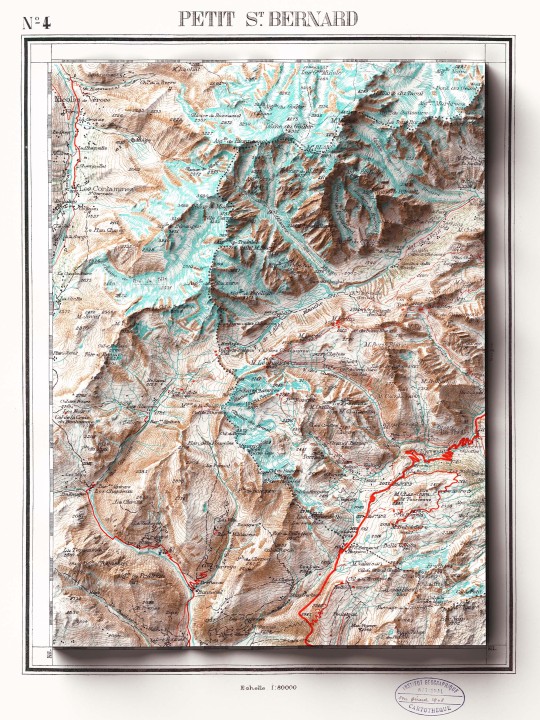
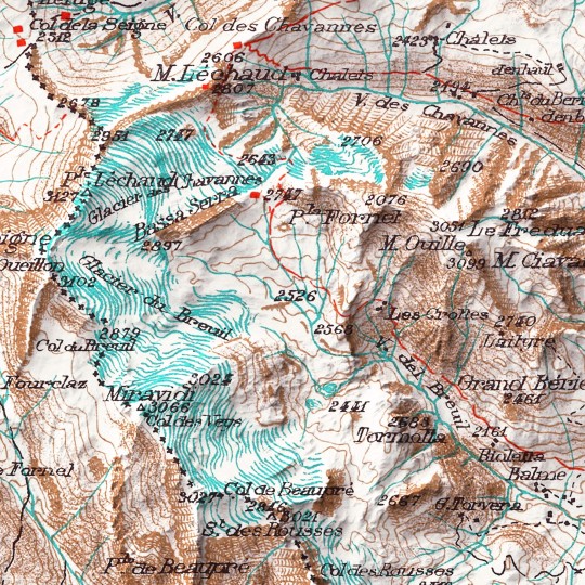
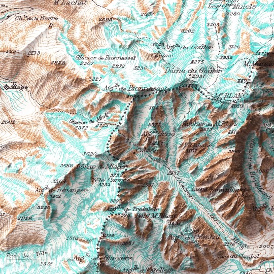
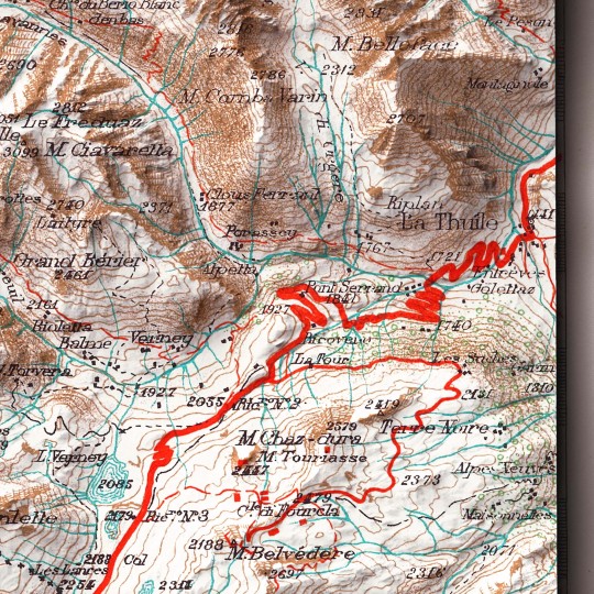
Col du Petit-Saint-Bernard, a mountain pass in the Graie Alps on the France–Italy border.
The map was originally created in 1899, we restored it to give a more vibrant sensations one it was combined with shaded relief.
If you like our work, want to see our daily updates (or want to say hello to our studio), consider to follow our Instagram or Twitter account. Otherwise if are interested in our prints or have a custom request check our shop.
#alps#alpigraie#petitsaintbernard#piccolosanbernardo#alpine#alpinism#mountains#mountainlife#mountainview#italymountain#francemountain#francemountaineering#cartography#geography#shadedrelief#dataviz#mapart#vintagemap
4 notes
·
View notes