#VintageCartography
Explore tagged Tumblr posts
Text
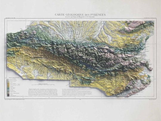
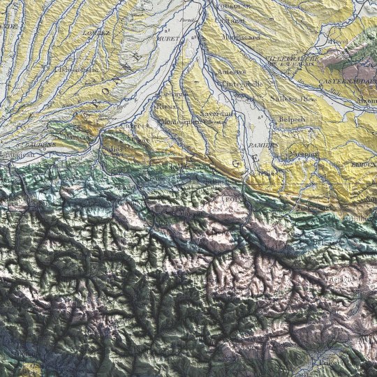
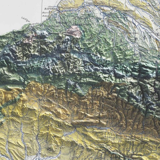
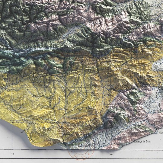
Pyrenees, shaded relief geological map.
🗺️ 𝗠𝗔𝗣 𝗜𝗡𝗙𝗢
Carte géologique des Pyrénées / dressée par Emm. de Margerie ; et Fr. Schrader, Annuaire du C. A. F. 1891, Hachette (Paris). Source: Gallica.
If you like our work, want to see our daily updates (or want to say hello to our studio), consider to follow our Instagram or Twitter account. Otherwise if are interested in our prints or have a custom request check our shop.
#cartography#maps#PyreneesMap#VintageMaps#ShadedRelief#CartographyArt#HistoricalMaps#MapLovers#GeographyArt#VintageCartography#MountainMaps#ReliefMapping#MapCollection#OldMaps#19thCenturyMaps#MapAesthetics#TopoMaps
3 notes
·
View notes
Text
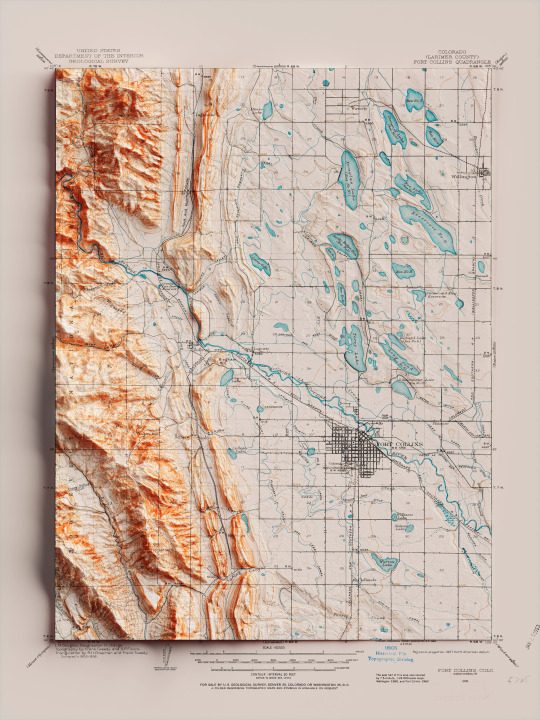
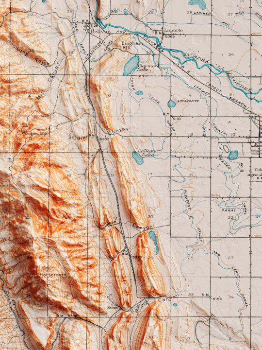
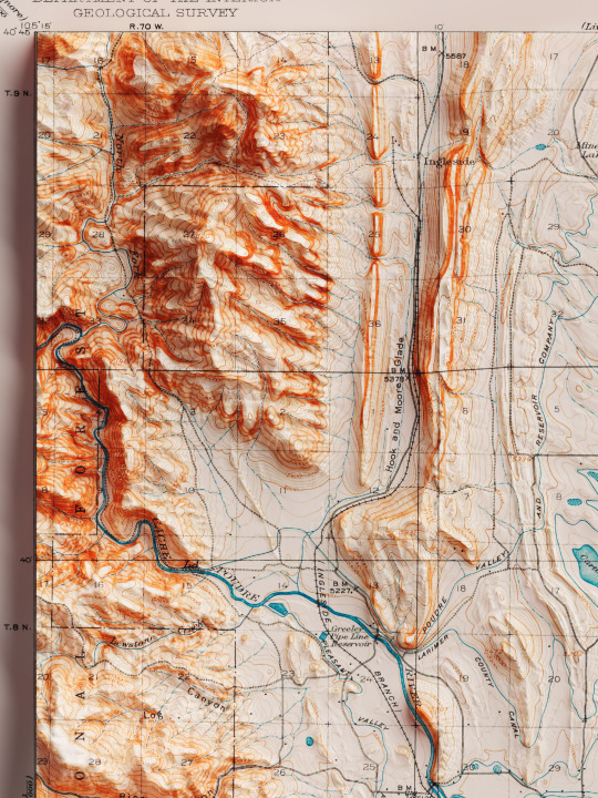
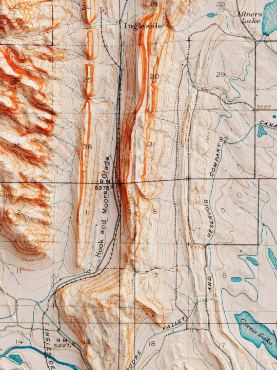
Shaded relief map with 3D effect of a topographic map of Fort Collins, Colorado (United States of America), in the quadrangle series and prepared and published by U.S. Geological Survey in 1906.
If you like our work, want to see our daily updates (or want to say hello to our studio), consider to follow our Instagram or Twitter account. Otherwise if are interested in our prints or have a custom request check our shop.
#homedecor#shadedrelief#shadedreliefmaps#map#cartography#cartographer#cartographie#cartographycommunity#vintagecartography#usa#usa🇺🇸#fortcollins#fortcollinsart#fortcollinscolorado#coloradogram#coloradotography#coloradosprings#3darts#digitalart#digitalartist#blendercycles#blenderartist#fineartprints#fineartprintshop#fineartprintstore#fineartprintstudio
8 notes
·
View notes
Text
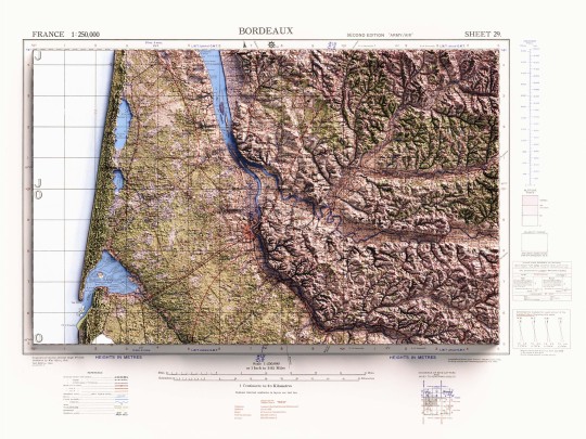
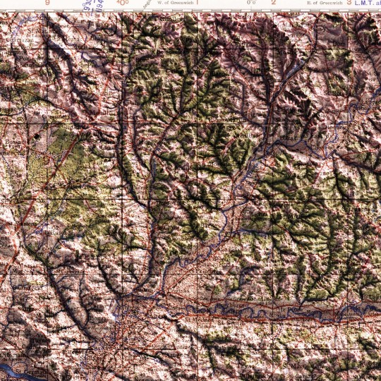
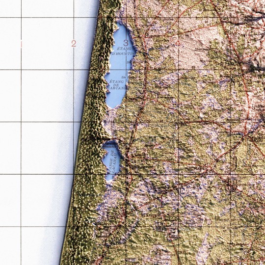
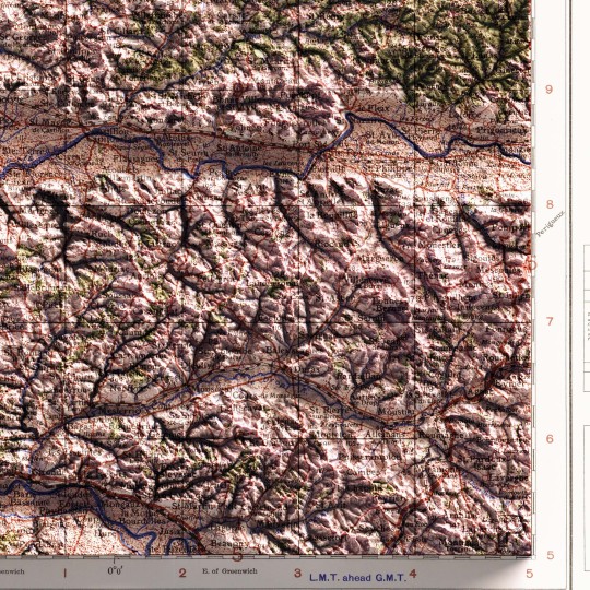
Shaded relief map with 3D effect of a topographic map of Bordeaux (France), produced and published by Great Britain War Office, in GSGS 2738 series in 1943.
If you like our work, want to see our daily updates (or want to say hello to our studio), consider to follow our Instagram or Twitter account. Otherwise if are interested in our prints or have a custom request check our shop.
#BordeauxTopo#VintageCartography#MapAesthetics#HistoricMaps#ReliefMapArt#FranceTopography#GeographyLovers#MapCollector#ClassicMaps#CartographyLove#TopographyArt#RetroMaps#MapEnthusiast#1943Maps#CartographyLife
0 notes