#maps
Explore tagged Tumblr posts
Visit Tumblr Blog
Explore Tumblr blogs with no restrictions, modern design and the best experience.
Last Seen Tumblr Blogs


Fun Fact
In 2020, 27% of US Tumblr users had an annual household income of over $100,000.
Text

#nintendo#pokemon#funny#gaming#video games#lol#humor#meme#kyogre#hoenn#gba#gameboy advance#2000s#maps#geography#pokemon ruby#pokemon sapphire#pokemon emerald#pokemon oras#3ds#retro#2000ish#retrogaming#dank memes#gen iii#gen 3#legendary pokemon#team aqua#memes#pokemon omega ruby
18K notes
·
View notes
Photo

70% of Canadians lives in 3 Areas
426 notes
·
View notes
Text

Canadian take-over counterproposal.
971 notes
·
View notes
Photo

IMINT #228 from SBIRS GEO-5 (Q CLEARANCE) 1. Pagan Webkinz 2. Forgotten Madness
99 notes
·
View notes
Text

antique map
#vintage#cartography#art history#art#artwork#antique#antique art#library aesthetic#European#Whimsicore#mythology#whimsigoth#moody#green#travel#1700s#whimsical#maps#museum#oddities#illustration#travel aesthetic#rosieandthemoon#decor#book#bookblr#Europe
22 notes
·
View notes
Text


Genshin Impact | Map Assets
Download Link (Google Drive)
19 notes
·
View notes
Photo
The second one was translated into Spanish in my copy of the canon in Todo Sherlock Holmes, Ediciones Cátedra


Maps of Dartmoor and the region of the Reichenbach Journey from The Sherlockian Atlas, Julian Wolff, 1952
#the sherlockian atlas#julian wolff#reinchenbach#acd canon#sherlock holmes#illustrations#maps#todo sherlock holmes#holmesian#sherlockian
1K notes
·
View notes
Text

#golf of mexico#resistance#fuck donald trump#fuck trump#google#google maps#maps#us politics#fuck convicted felon trump
23K notes
·
View notes
Text

I'VE BEEN WAITING FOREVER TO POST THIS AAA!!
But here is the animation I've done for Danny Phantom's 20th Anniversary!! It's part of the 'DP: RePhanimated' project on Youtube!! (WHICH IS FINALLY OUT, WE BEAT THE COPYRIGHT STRIKE, GO WATCH IT YO!!! :D)
I was so stoked to have been assigned part of the original theme song, it was so amazing to animate it and pay homeage to the cartoon that actually inspired me to work in animation as an adult.
It was so meaningful to be a part of this project and I met so many cool and talented people!! (It was truly a labour of love, y'all.)
(Also as a bonus, here's my lineart pass!)

2K notes
·
View notes
Text
MAPPING REVACHOL (2.0)
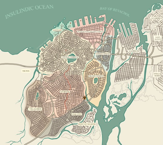
Back in July of 2024, I was incredibly inspired by the project Mapping Revachol by Map Max and wanted to continue on with an attempt of my own. The canon map we're given felt out of date and more than a little incongruous with what we're told in-game, and being both an avid fanfic writer and compulsive visualizer, I really wanted to be able to see Revachol in my mind's eyes.
So, taking inspiration from both Map Max's attempt, as well as meticulously combing through in-game dialogue (with the help of my intrepid friend and far more meticulous researcher than I, @spine-y) we scoured Fayde for any and all directional references to the different districts of Jamrock, East and West Revachol, and everything that lay beyond. (Shoutout to the MoralIntern questline, that one came in clutch).
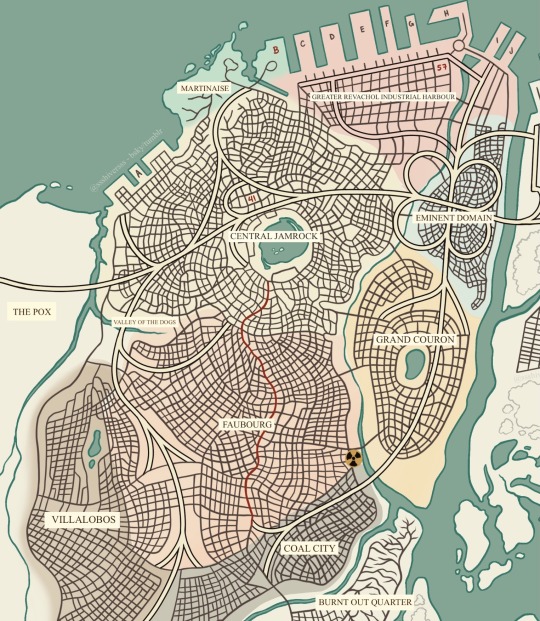
I took a few liberties with district placement, especially because the wiki also seems to contradict a few things we're told in the game. You may not agree with my choices, and I'm open to suggestions! I may not make any changes anytime soon because this took forever, but I also welcome any other attempts to map Revachol!
(The red line that cuts through Central Jamrock and Faubourg is Boogie Street!)
Included below is my initial sketch before I realized that doing this in markers and microns would actually be the death of me, and then some of the early screenshots of trying to figure out what the hell the 8-81 would actually look like and how to make it make sense.
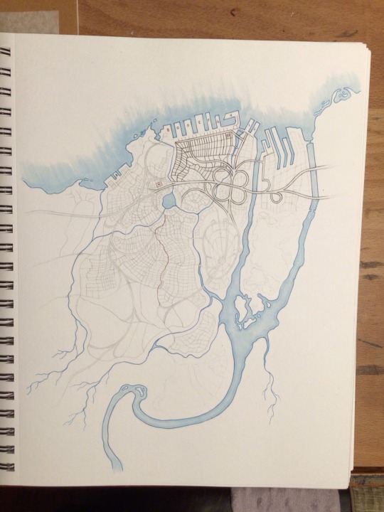

Does it make perfect sense? No! I'm not a cartographer; I'm a fanartist. I'd much rather draw men dicking each other down nasty style. But this was an incredibly fun project that only took me... only six months to complete.
I hope you enjoy!
--
I NEED YOU. YOU CAN KEEP ME ON THIS EARTH. BE VIGILANT. I LOVE YOU.
2K notes
·
View notes
Text
High standards. I'll be happy when it stops being a fucking graveyard for people who try to cross it tbh.
youtube
it's got english subtitles. wait for it.
hey you know what we haven't had in awhile? continents discourse. lets do some continents discourse
anyhow if you start with the 4 continent model (Americas/Afro-Eurasia/Australia/Antarctica) it makes far, far more sense to split the Americas in North and South America than it does to split Africa from Eurasia. There's only one Isthmus of Panama, compared to the straits of Gilbratar and Bab-el-Mandeb and the Isthmus of Suez.
the insistance that Europe, Asia, and Africa are separate continents but the Americas are one is merely assuming what you were taught in grade 3 is objective; It's as silly as insisting that 60-90 is a "natural" temperature scale.
137 notes
·
View notes
Photo

The Red in Every State Holds More Than Half of the State's Population
482 notes
·
View notes
Text


been thinking abt maps and the batfamily interactions . i think tim and her would be friends :) detective to detective
#sabsarttag#give me more ideas if we have any#i know Tim is Red Robin in her universe but I don’t like his design ☹️#they’re so everything ro me#batman#robin#dc#art#dc art#tim drake#tim drake robin#maps#maps mizoguchi#mia mizoguchi#mia mizoguchi robin#batfamily#batfam#comic
4K notes
·
View notes
Text
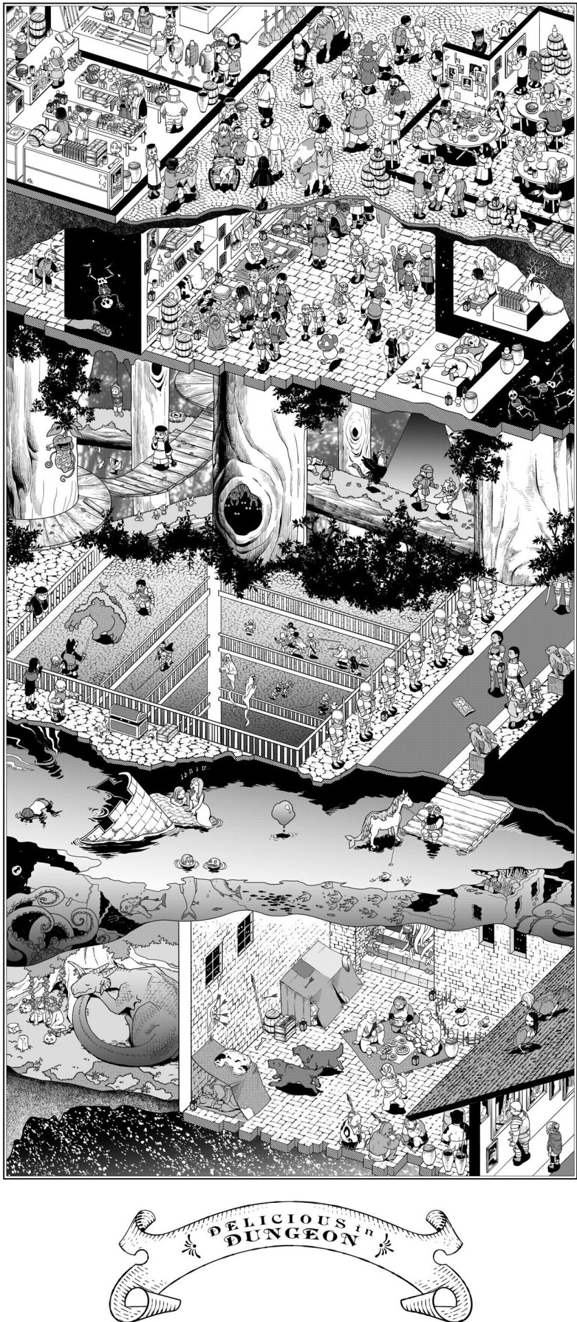
Dungeon Meshi Adventurer's Bible - Dungeon cross section
Details under the cut
Details cropped from this reddit post
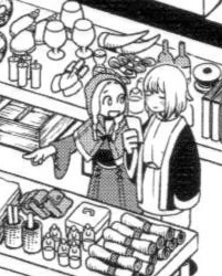
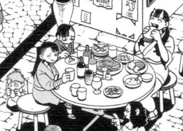
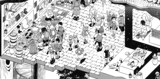
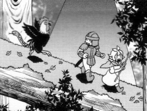
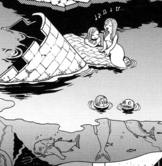
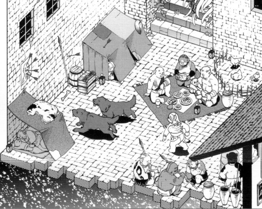
#Dungeon Meshi#adventurers bible#took me a LONG time to find a good quality full version of this#please open the full image to properly see it#tumblr mobile also ruins the quality..#Falin touden#marcille donato#chilchuck tims#leed#leed dungeon meshi#orcs#mermaid#fionil#doni#inutade#tade#hien#benichidori#is hien winking at the waitress?#worldbuilding#dungeon layout#dungeon levels#red dragon#dungeon meshi orcs#maps#for referencing
5K notes
·
View notes
Photo

Dispatch #797 from █████ ███████ ██ (CONFIDENTIAL) 1. Pen of Wasps 2. Relic Expo 3. Zombie Refinery
25 notes
·
View notes