#ArcGIS
Explore tagged Tumblr posts
Text
whoever made arcGIS so complicated I just wanna talk. just a little chat.
wait don’t run away hold on I need to make you pay for the mental suffering of environmental science students get back here
17 notes
·
View notes
Text
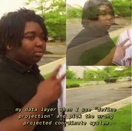
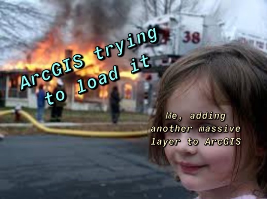
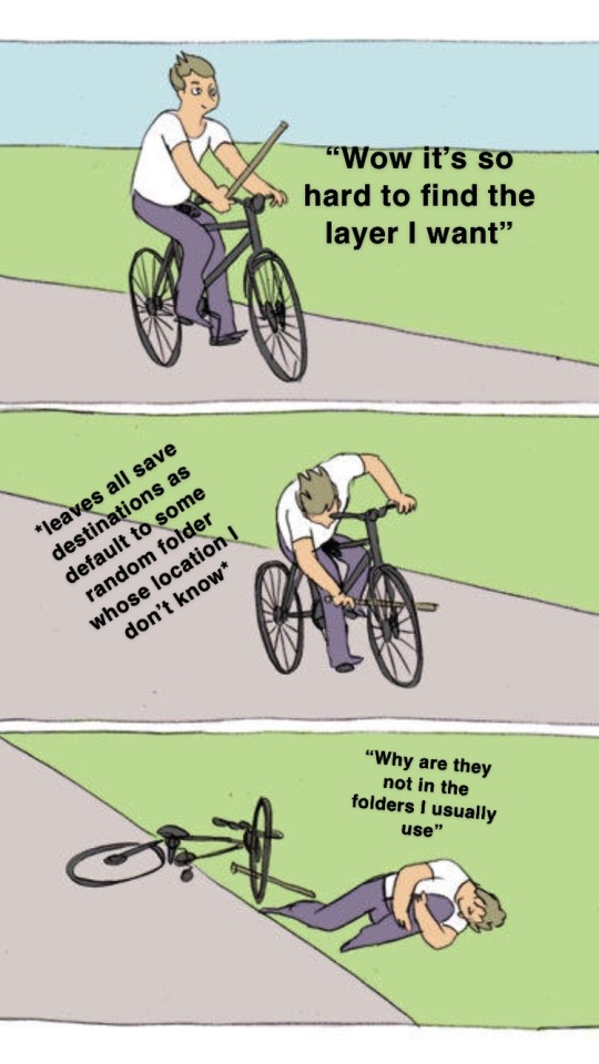

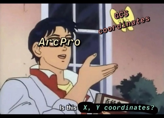
happy GIS day to everyone who’s ever had the same love-hate relationship w esri products as I have lol
#personal#gis#arcgis#ArcPro#I did in fact make most of these while suffering from a truly horrendously embarrassing crush on my gis ta whoopsies
14 notes
·
View notes
Text
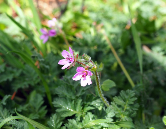
Weeds of Boise Takes a GIS Course
Why has this blog been so quiet lately? There are plenty of excuses for that. It doesn’t really matter either way, but since we’re on the subject, one thing that has kept me occupied recently is being back in school. I’m working on a certificate in GIS, and I’m hoping to make some cool maps. More on that later perhaps. For now, I thought I’d share one of my final projects. I figured it was a…
View On WordPress
#ArcGIS#Boise Idaho#GIS#iNaturalist#introduced plants#mapmaking#maps#StoryMaps#weeds#Weeds of Boise#wild urban flora
7 notes
·
View notes
Text
just described qgis as “if photoshop and excel had a baby”
what did i mean
33 notes
·
View notes
Text
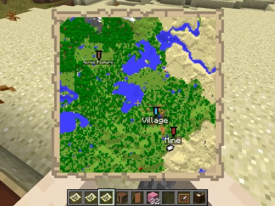
man i think something’s wrong with my raster layer
3 notes
·
View notes
Text
if you've wanted to learn ArcGIS but don't have access to a license they're offering a free Cartography class right now that gives you 6 weeks access to ArcGIS Pro. It seems like a pretty beginner friendly class but if nothing else just take advantage of it to get the license and then make your own course!! Personally I think GIS is so fun if this is the kind of thing that interests you and you're looking for a new challenge (link is to the course page it just formatted weird)(also it's not working in firefox for me today just fyi)
9 notes
·
View notes
Text
That feeling you get when ArcPro just starts ‘thinking’ and you can’t decide whether you should close it or just wait…
4 notes
·
View notes
Text
GIS cornered me in a dark alley and beat the shit out of me
2 notes
·
View notes
Text

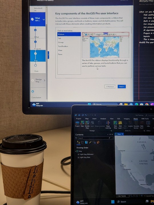

sept 25 2023 /// 🎧 : back on 74 - jungle
arcgis training week woo
dogsitting for a friend and that little stinker had me up before the sun, got a cool photo out of it though
13 notes
·
View notes
Text
ArcGIS this is my last straw
#if this shit crashes one more time#it’s so over#my cat walked over the keyboard and it folded#arcgis#ersi#cartography#geography#personal#mine
7 notes
·
View notes
Text
All 1296 individual mineral deposits for my conworld in a map and an itemized list :)
I'll be using both to reverse engineer the tectonics of my world, since if I know there is coal in an area, I know that at one point it was at or near the equator.
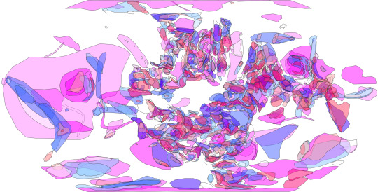
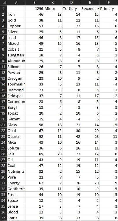
Also here is the basemap I am working off of, there are about 15 major regions, 51 regions, and 172 subregions, the subregions are labeled, and there are two maps below it showing the makeup of the major's and regions.
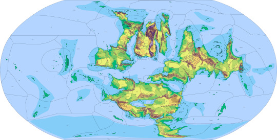
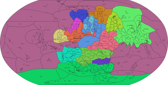

Feel free to ask for clarifications RE: Mineral definitions or Regional phenomena 😎👍
32 notes
·
View notes
Text
I love ArcGIS but holy fuck why is this shit ALWAYS CRASHING
#I did figure out the program kept crashing cuz the version I was using#it had some issue that caused the program to crash anytime you open symbology#so I spent forever trying to update it but I had to download some Microsoft .NET shit to do it#also why does it take AGES to build pyramids and calculate statistics#I’m so tired I’ve been staring at this for over 7 hours#arcgis#arcgis pro
3 notes
·
View notes
Text

she toggle my Wisconsin until i Percent Rural
21 notes
·
View notes
Text
Struggling with ArcGIS Assignments? Get ArcGIS Assignment Help From the Experts!
Hey there, fellow geography enthusiasts! 👋
Ever feel like ArcGIS is more of a cryptic puzzle than a mapping tool? 🤔 Been there, done that. Between mastering the software, wrangling mountains of data, and actually understanding what your professor wants, it's easy to get swamped. 😩
That's where ArcGIS assignment help comes in! 🙌
What is ArcGIS, anyway?
ArcGIS is a powerful tool used by geographers, scientists, and even urban planners to store, analyze, and visualize geographic data. Think of it like a supercharged Google Maps that lets you see patterns, trends, and relationships you never knew existed. 🤯
Why do students need help with ArcGIS assignments?
There are tons of reasons! Maybe you're new to the software and feeling overwhelmed. Perhaps you're struggling with a specific data analysis task. Or maybe you just need a little extra guidance to make sure your assignment is top-notch.
Whatever the reason, there's no shame in seeking help! In fact, it's a smart way to save time, boost your grades, and actually learn the material. 😉
Here's how ArcGIS assignment help can save your day:
Expert guidance: Get personalized help from experienced geographers who know ArcGIS inside and out. They can walk you through any assignment, no matter how complex.
Time saver: Ditch the late-night data crunching sessions and free up your time for studying, socializing, or catching some much-needed sleep. 😴
Grade booster: Get the insights and guidance you need to ace your assignments and impress your professors. 🏆
Deeper understanding: Don't just get the answers, get the why behind them. ArcGIS assignment help can give you a deeper understanding of the concepts and skills you'll need in your future career.
So, if you're feeling lost in the world of ArcGIS, don't hesitate to reach out for help! There's no shame in it, and it can make a huge difference in your academic success.
P.S. Want to learn more about ArcGIS assignment help? Check out the link in my bio! 😉
P.P.S. Don't forget to share this post with your fellow geography peeps! We're all in this together! 💪
6 notes
·
View notes
Text
Ah GIS my old enemy.
8 notes
·
View notes
Text
Highlight of my day: sitting, watching ArcPro load
2 notes
·
View notes