#geographyart
Explore tagged Tumblr posts
Text
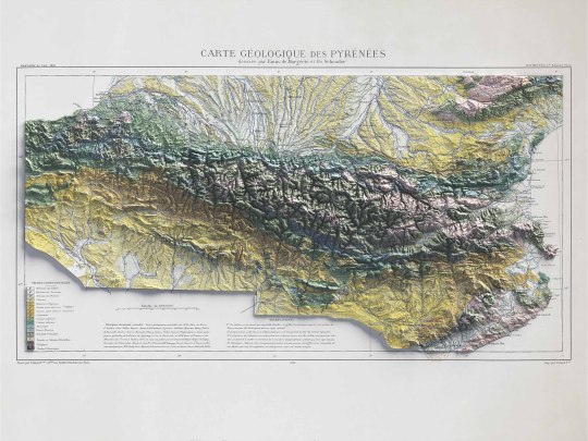
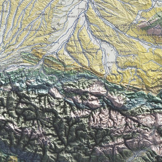
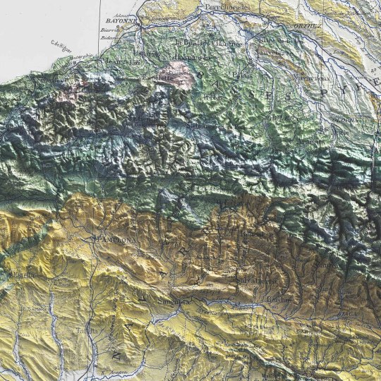
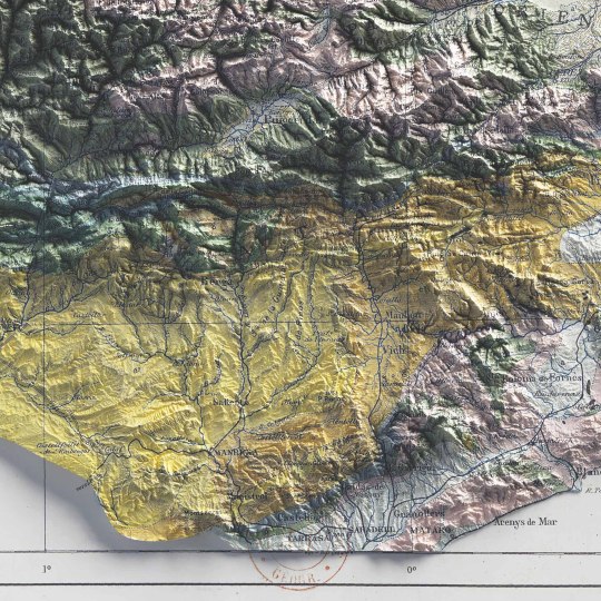
Pyrenees, shaded relief geological map.
🗺️ 𝗠𝗔𝗣 𝗜𝗡𝗙𝗢
Carte géologique des Pyrénées / dressée par Emm. de Margerie ; et Fr. Schrader, Annuaire du C. A. F. 1891, Hachette (Paris). Source: Gallica.
If you like our work, want to see our daily updates (or want to say hello to our studio), consider to follow our Instagram or Twitter account. Otherwise if are interested in our prints or have a custom request check our shop.
#cartography#maps#PyreneesMap#VintageMaps#ShadedRelief#CartographyArt#HistoricalMaps#MapLovers#GeographyArt#VintageCartography#MountainMaps#ReliefMapping#MapCollection#OldMaps#19thCenturyMaps#MapAesthetics#TopoMaps
3 notes
·
View notes
Text
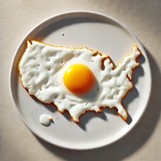
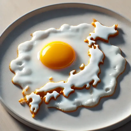
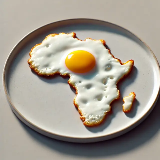
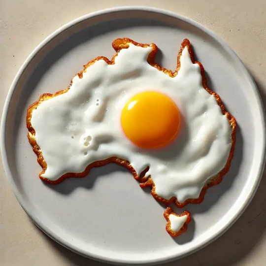
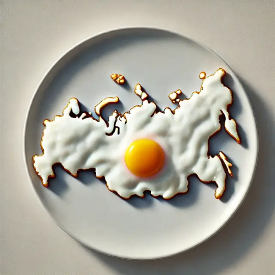
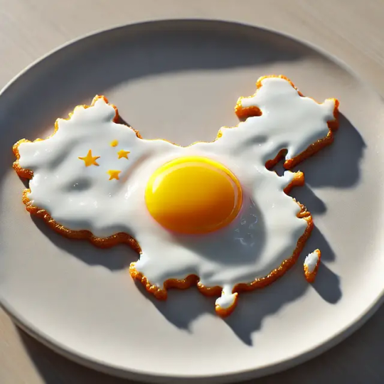
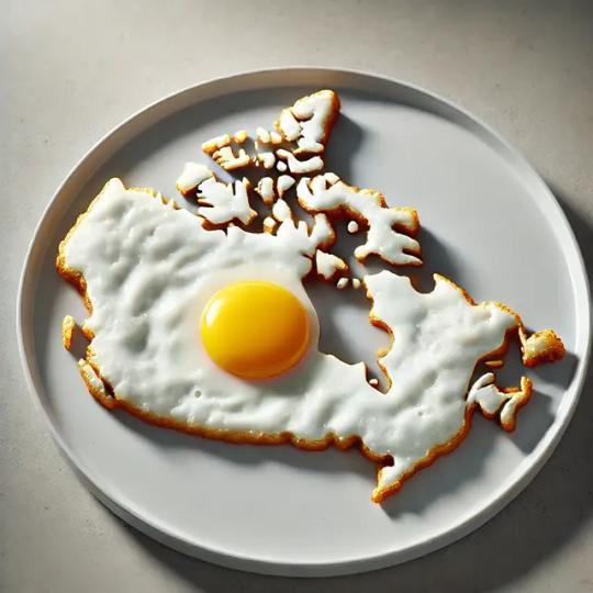
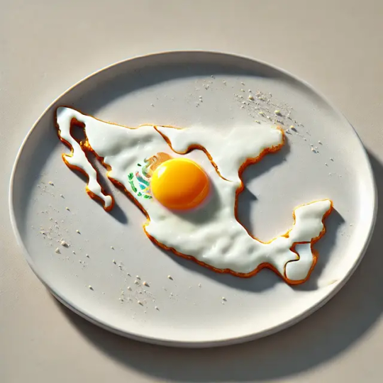
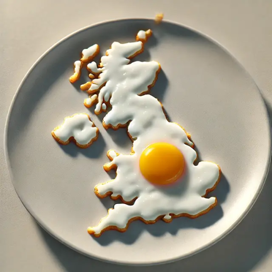
🌍🍳 Traveling the world one fried egg at a time! Check out these deliciously creative art pieces where breakfast meets geography. Which country or continent would you like to taste first?
#FoodArt#DigitalArt#Eggsploration#CreativeCuisine#WorldMap#ArtisticBreakfast#GeographyArt#EdibleArt#ArtOfFood
0 notes
Photo

I made this a long while ago: Mariowa

ok hear me out: Luigiana — @Dewndeym
2 notes
·
View notes
Text
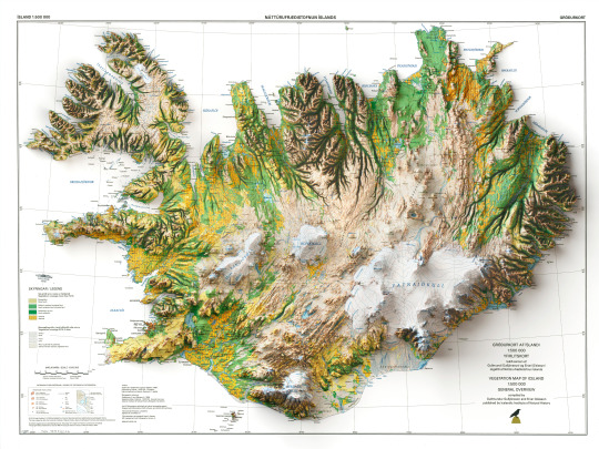
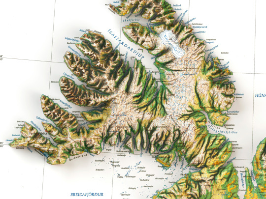
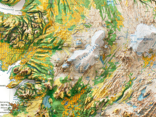
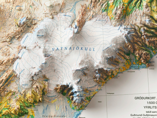
Here we are with the 2D printed shaded relief map with 3D effect of a soil map of Iceland, printed and published by Náttúrufræðistofnun Ísland in 1998. 🗺️ 𝗠𝗔𝗣 𝗜𝗡𝗙𝗢 Vegetation map of Iceland 1: 500 000, overview map / compiled by Guðmundur Guðjónsson and Einar Gíslason; 1998.
If you like our work, want to see our daily updates (or want to say hello to our studio), consider to follow our Instagram or Twitter account. Otherwise if are interested in our prints or have a custom request check our shop.
#dataviz#3dart#cartographyart#geographyart#mapart#artprint#reliefmap#homedecor#posterart#iceland#icelandmap#geography#artofinstagram#walldecor#maps#icelandart#icelandtravel#icelandlove
6 notes
·
View notes
Text
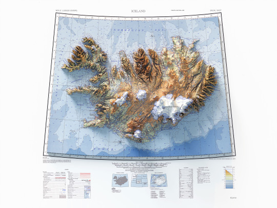
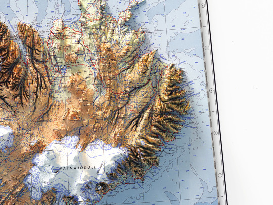
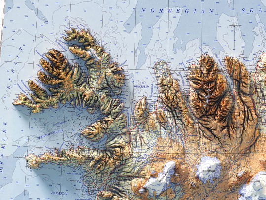
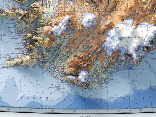
It has finally arrived, beautiful and bright as a northern sunrise😝!
The shaded relief map of Iceland made from a 1952 vintage topographic map.
As mentioned earlier, we had started this work some time ago, and it was put on hold because life at Vizart Studio is sometimes really difficult to menage.
Anyway we finalize it and you can find it on vizcart store!
🗺️ 𝗠𝗔𝗣 𝗜𝗡𝗙𝗢 Topographic map of Iceland showing roads, tracks, boundaries, glaciers, water features, cities and towns. AMS 1301, fouth edition. Prepared by Army Map Service, Corps of Engineers, U.S. Army. Compiled in 1952 from medium scale of Iceland. Source: University of Texas
If you like our work, want to see our daily updates (or want to say hello to our studio), consider to follow our Instagram or Twitter account. Otherwise if are interested in our prints or have a custom request check our shop.
#dataviz#3dart#cartographyart#geographyart#mapart#artprint#reliefmap#iceland#icelandmap#geography#topography#cartography#artofinstagram#rendering#maps#icelandart#icelandtravel#icelandlove#mapstagram#blender#b3D#gis#qgis#cycles#photoshopart#postproduction
4 notes
·
View notes
Text
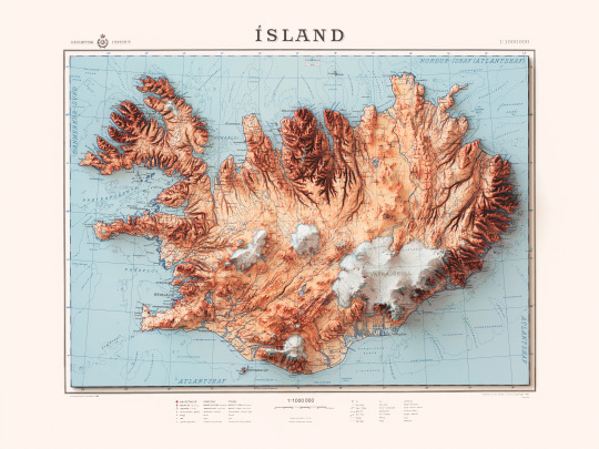
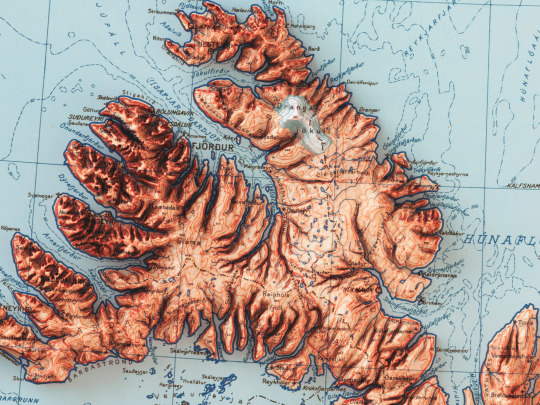
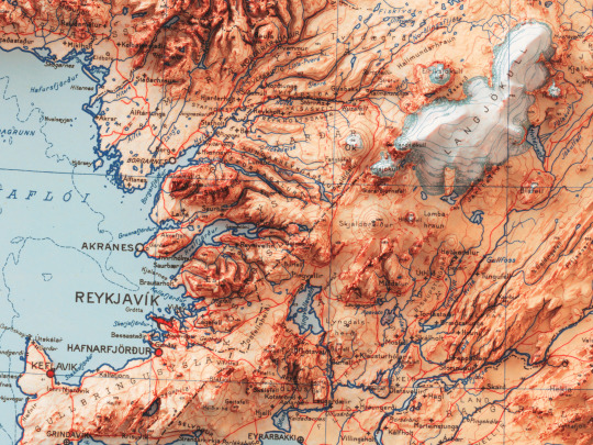
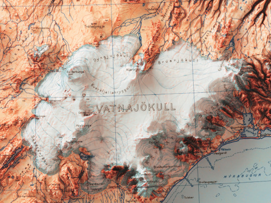
Here we are with the last map of Iceland of this week. It is a topographic map printed and published by Geodetic Institute of Denmark in 1963. 🗺️ 𝗠𝗔𝗣 𝗜𝗡𝗙𝗢 Topographic map of Iceland, 1:1000000, published and printed by Geodetic Institute (Denmark), 1963.
If you like our work, want to see our daily updates (or want to say hello to our studio), consider to follow our Instagram or Twitter account. Otherwise if are interested in our prints or have a custom request check our shop.
#dataviz#3dart#cartographyart#geographyart#mapart#artprint#reliefmap#homedecor#posterart#iceland#icelandmap#geography#artofinstagram#walldecor#maps#icelandart#icelandtravel#icelandlove
2 notes
·
View notes