#Vancouver Harbour
Explore tagged Tumblr posts
Text

Vancouver's harbour, as seen from Hastings Mill around 1900, by Dale Byhre
139 notes
·
View notes
Video
Sunset in Vancouver [IMG_0785] by Kesara Rathnayake
#Vancouver#Vancouver Harbor#Vancouver Harbour#Vancouver Downtown#sunset#eve#evening#sky#sea#horizon#building#buildings#reflection#reflections#sun#sun shine#golden sun#golden#plane#sea plane#Vancouver Convention Centre#Vancouver Convention Center#travel#2024#canon#50mm#nifty fifty#hills#mountains#clouds
4 notes
·
View notes
Text
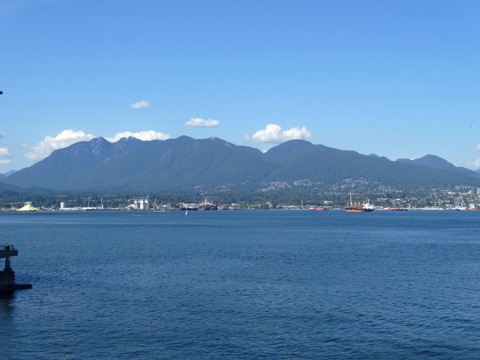
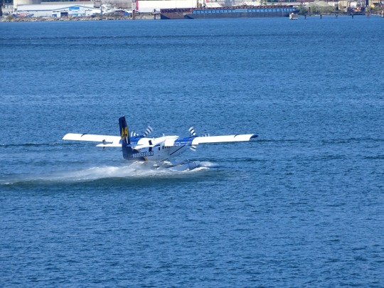
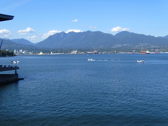
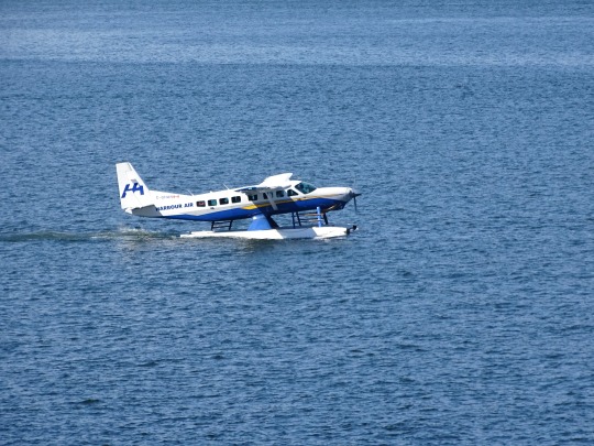
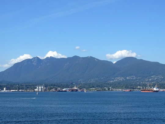
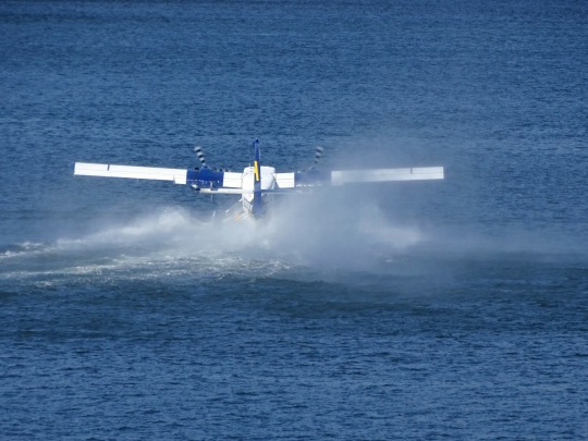
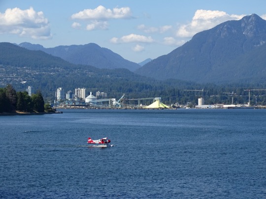
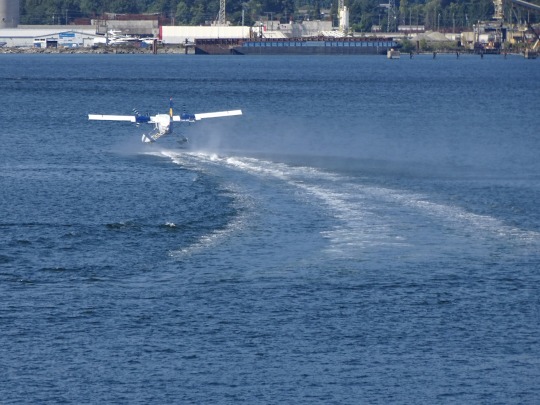
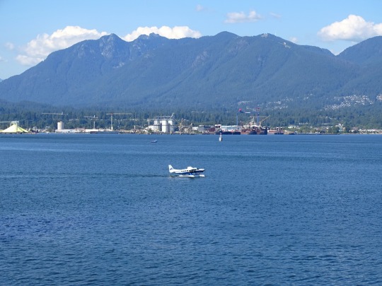
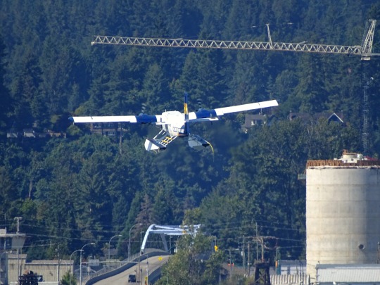
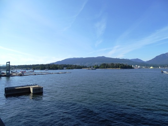
Vancouver Harbour (No. 1)
Burrard Inlet is a relatively shallow-sided fjord in northwestern Lower Mainland, British Columbia, Canada. Formed during the last Ice Age, it separates the City of Vancouver and the rest of the lowland Burrard Peninsula to the south from the coastal slopes of the North Shore Mountains, which span West Vancouver and the City and District of North Vancouver to the north.
Burrard Inlet opens west into the Strait of Georgia between Point Atkinson and Point Grey. Vancouver's Downtown Peninsula protrudes northwesterly into the inlet, separating it into the wide outer Burrard Inlet to the west and the elongated inner Burrard Inlet to the east. The southeastern portion of the outer inlet is an open bay known as English Bay, which has a narrow eastern inlet called False Creek. The 400-metre-wide (1,300 ft) strait between Prospect Point and the sandbanks just east of the Capilano River mouth, which connects the inlet's outer and inner sections, is known as the First Narrows, traversed by the Lions Gate Bridge. The inner inlet then widens into Vancouver Harbour, which hosts the Port of Vancouver, Canada's largest port.
Source: Wikipedia
#Burrard Inlet#Vancouver Harbour#Pacific Ocean#travel#original photography#vacation#tourist attraction#landmark#architecture#cityscape#landscape#summer 2023#BC#British Columbia#Vancouver#seaplane#take-off#water#engineering#technology#Vancouver Convention Centre#North Vancouver
9 notes
·
View notes
Text
Vancouver Harbour Cruise
Last weekend it was my great pleasure to attend a wedding aboard a harbour cruise ship. The wedding was a delight, and the views from the ship were fabulous. The ship left Vancouver harbour in the early evening, travelled up Indian Arm to Silver Falls, and returned at 10:00 PM. The sky was clear the whole time and the sunset was perfect behind the city lights. Here are my pictures of the scenery.
#city lights#harbour cruisse#Indian Arm#nature#Photography#Scenery#Silver Falls#sunset#Vancouver Harbour
0 notes
Text
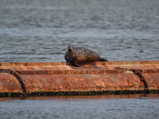
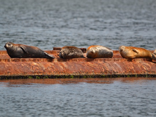
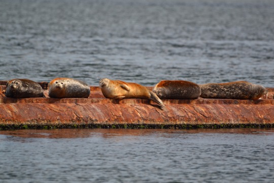
Seals sunning themselves on the old barge, they’re all stained orange from the rust
#they are so cute to me#seals#harbour seal#nature#vancouver island#nature photography#pnw#ocean#wildlife#ocean puppy#original photography#original photography on tumblr
362 notes
·
View notes
Text

Vancouver 2019
10 notes
·
View notes
Photo

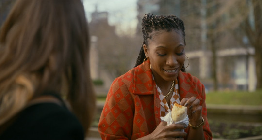


Fresh Mimi Cave. 2022
Park Coal Harbour Park, 323 Jervis St, Vancouver, BC V6C 3P8, Canada See in map
See in imdb
#mimi cave#fresh#daisy edgar-jones#jojo t. gibbs#park#picnic#coal harbour park#vancouver#british columbia#canada#movie#cinema#film#location#google maps#street view#2022
63 notes
·
View notes
Text
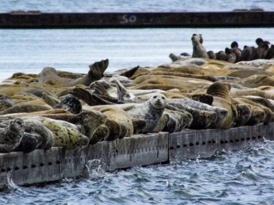

Harbor seals (Phoca vitulina)
#true seals#earless seals#seals#phocids#Vancouver Island Harbour Seals#Harbour Seals#Phoca vitulina#sea side#ocean#ocean view#ocean life#pacific ocean#wild animals#animals#animal photoshoot#animal lover#animal photography#wildlife pictures#wildlife photography#wildlife#beautiful#beautiful photos#my photo#photography#photooftheday#naturecore#photoart
31 notes
·
View notes
Text
Rowing companions

Devonian Harbour
Vancouver, British Columbia, Canada
December 9, 2023
It’s rare to see marine mammals so deep in the Harbour, but maybe the sea lions wanted to join rowing practice!
Photo by @alexandramrobertson
2 notes
·
View notes
Text

Moonlight over Coal Harbour, 1888, by Dale Byhre, 2024
344 notes
·
View notes
Video
Sunset [IMG_0799] by Kesara Rathnayake
#Vancouver#Vancouver Harbor#Vancouver Harbour#Vancouver Downtown#sunset#eve#evening#sky#sea#horizon#building#buildings#reflection#reflections#sun#sun shine#golden sun#golden#plane#sea plane#Vancouver Convention Centre#Vancouver Convention Center#travel#2024#canon#50mm#nifty fifty#hills#mountains#clouds
4 notes
·
View notes
Text
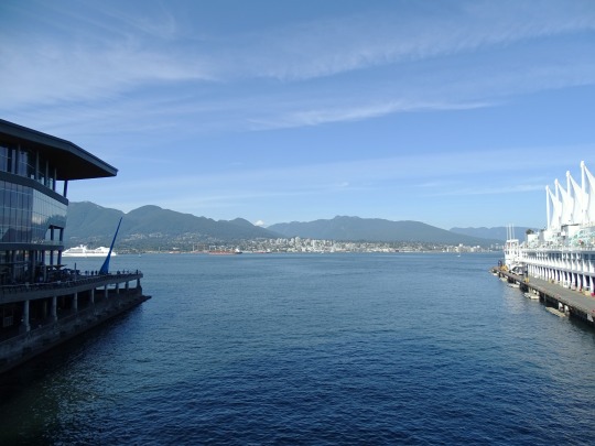
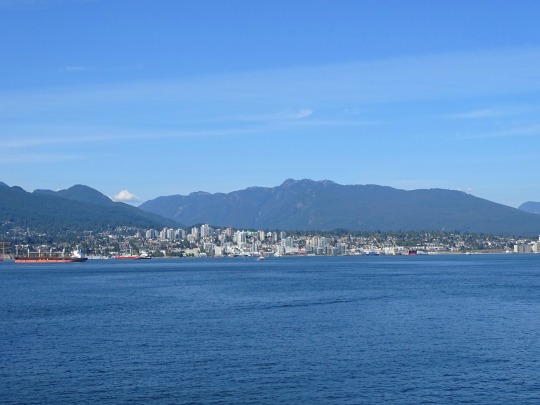
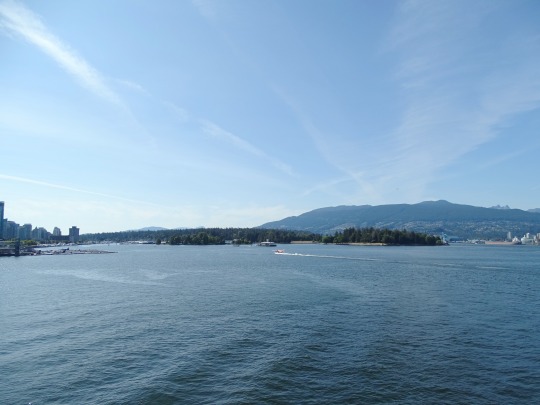
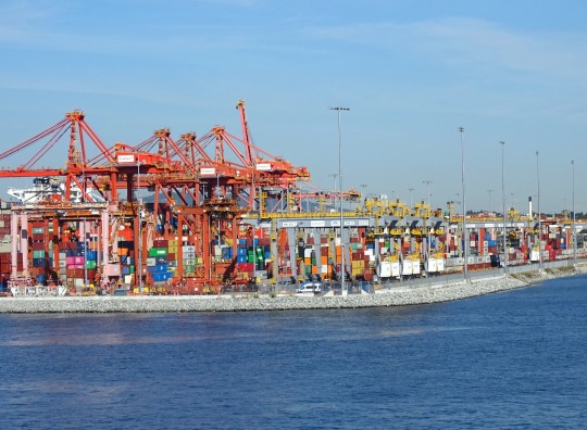
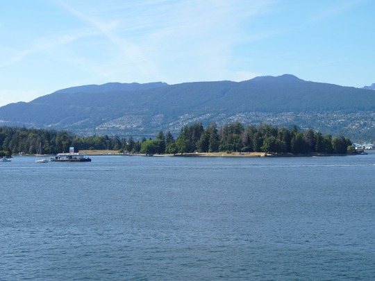
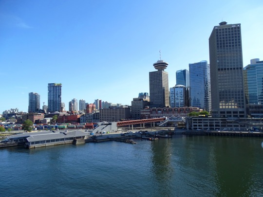
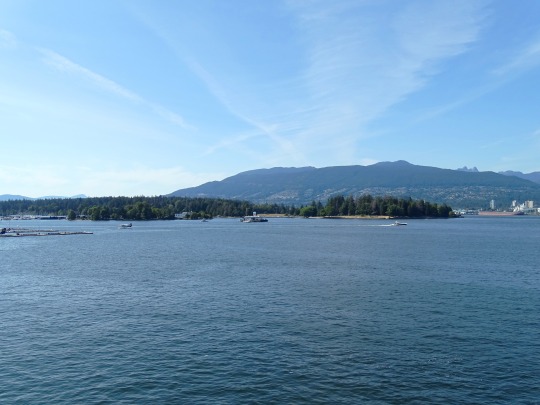
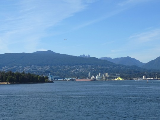
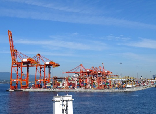
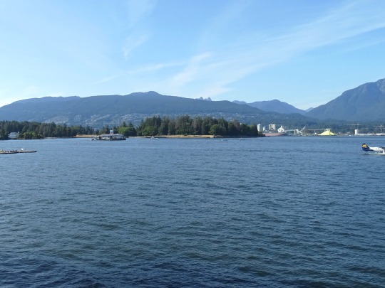
Vancouver Harbour (No. 2)
At the eastern end of the harbour, Burrard Inlet narrows again into a 350-metre-wide (1,150 ft) strait between Burnaby Heights and the mouth of the Seymour River, known as the Second Narrows, which is traversed by the Ironworkers Memorial Bridge and the Second Narrows Rail Bridge. After the Second Narrows, it widens again and continues east until the headland near Dollarton, where it splits into two arms. The longer arm, known as Indian Arm, extends northerly between Mount Seymour and Eagle Mountain until it meets the deltas of Indian River mouth. The shorter arm, known as Port Moody Arm or Moody Inlet, courses further east for another 6 kilometres (3.7 mi) past a 320-metre-wide (1,050 ft) strait (traversed only by overhead powerlines) between Burnaby Mountain and the bluffs of Belcarra Regional Park. Port Moody Arm is almost completely encompassed by the City of Port Moody.
Source: Wikipedia
#Vancouver Harbour#Burrard Inlet#Pacific Ocean#British Columbia#Vancouver Convention Centre#North Vancouver#Vancouver#travel#original photography#vacation#tourist attraction#landmark#architecture#cityscape#Canada#summer 2023#Port of Vancouver#Canada Place#BC#mountains#landscape#seascape
1 note
·
View note
Text


Coal Harbour, Norgate, Vancouver, British Columbia, Canada
Jainam Sheth
2 notes
·
View notes
Text
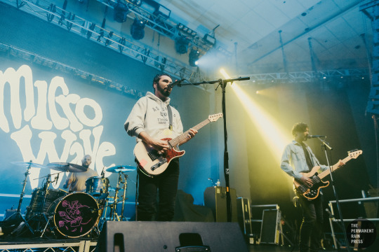
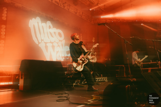
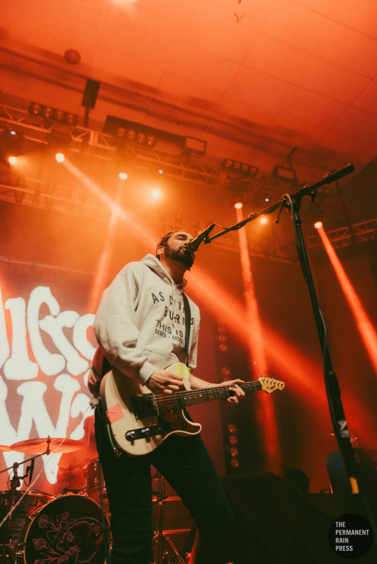
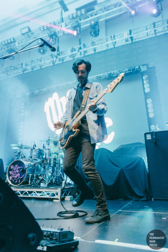
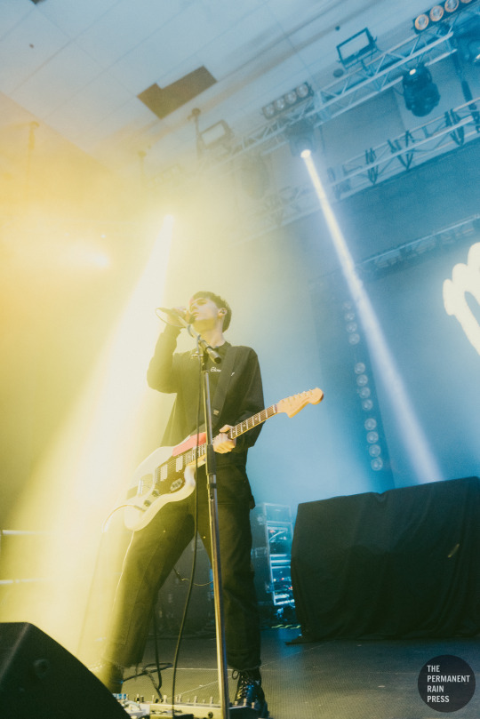
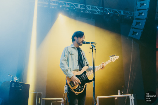
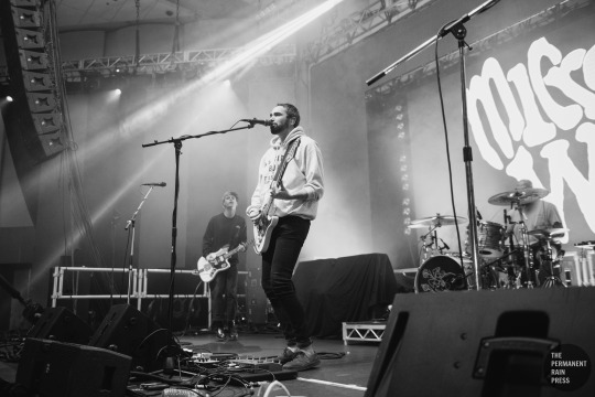
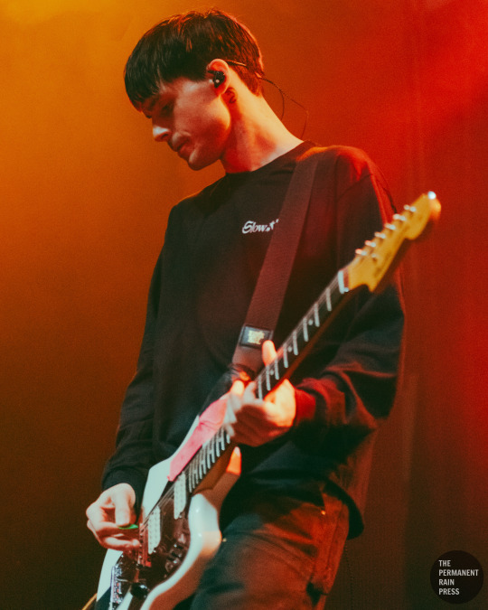
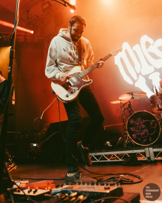
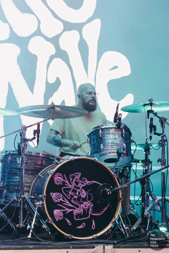
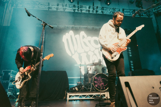
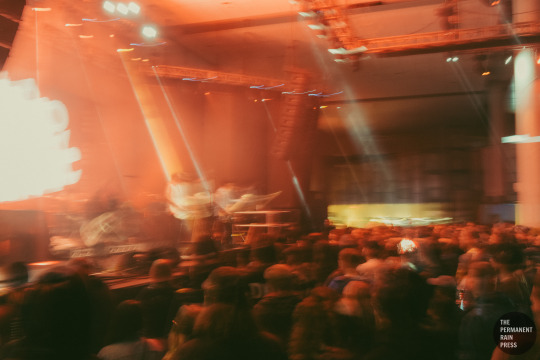
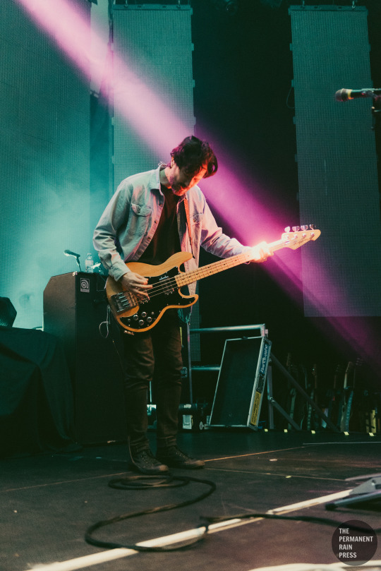
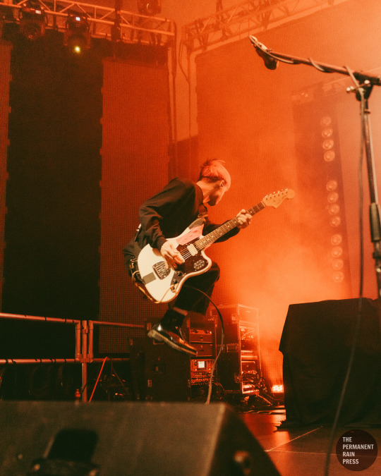
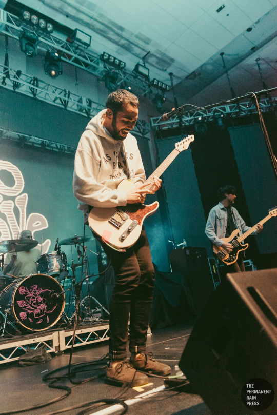
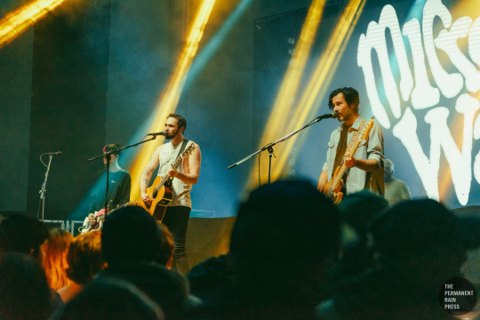
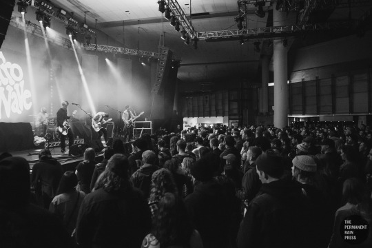
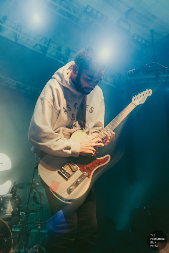
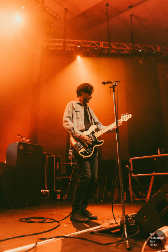
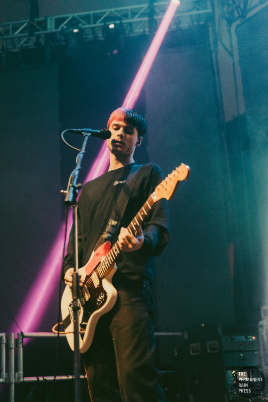
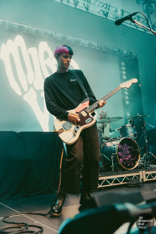
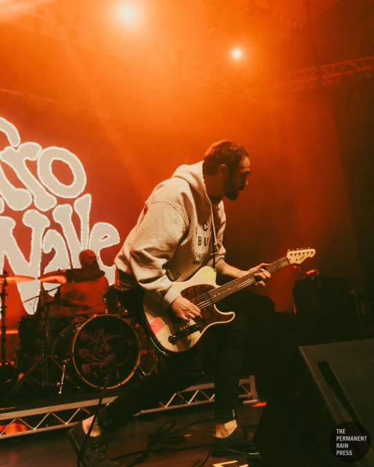
Gallery: Microwave @ Harbour Event & Convention Centre - Vancouver, BC Date: December 8, 2023 Photographed by: Danielle Costelo
#Danielle Costelo#Microwave#Microwave Band#Microwave Music#PRmusic#PRphoto#Vancouver#yvr#Music#live music#F7#F7 Entertainment#Harbour Events Centre#Harbour Event & Convention Centre#Tyler Hill#Travis Hill#Nathan Hardy#Timothy Pittard#Tito Pittard#Much Love#Stovall#Death Is a Warm Blanket#Circling the Drain#Float to the Top#Pure Noise Records#Lighterless#Something Right#Keeping Up#concert#concert photography
13 notes
·
View notes
Text
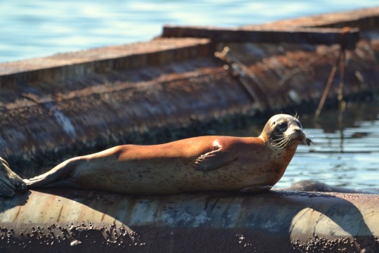
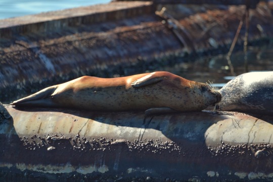
Eepy
#seals#marine mammals#nature#original photography#lensblr#harbour seals#vancouver island#nature photography#pnw#original photography on tumblr
221 notes
·
View notes
