#pecos canyon
Explore tagged Tumblr posts
Text

#nature#mountains#hiking#landscape#new mexico#forest#pecos wilderness#cave creek trail#Pecos canyon#summer#trail
143 notes
·
View notes
Text

Gina Schnaufer Knee, Pecos Canyon, 1933, watercolor on paper, 20 x 14 in. (50.8 x 35.6 cm), Smithsonian American Art Museum, Transfer from the U.S. Department of the Interior, National Park Service
6 notes
·
View notes
Text
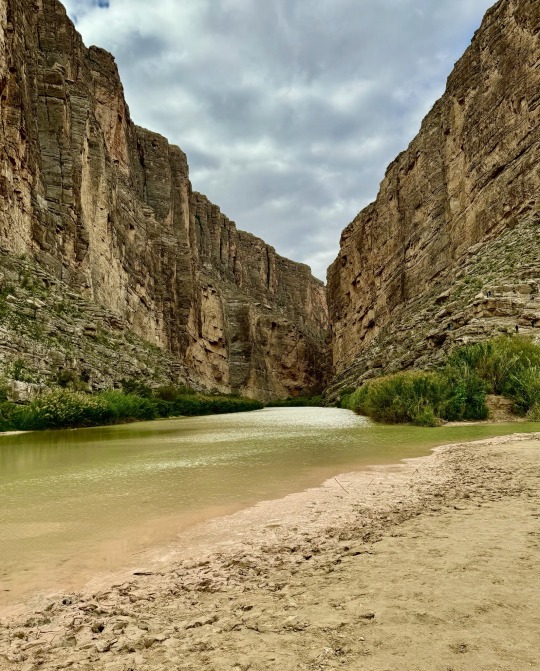
#santa elena canyon#rio grande river#sheer cliffs#mexico on left#Texas on right#big bend national park#texas trans pecos#chihuahuan desert#photo by me
13 notes
·
View notes
Text


Shipwrecked Spanish conquistador Álvar Núñez Cabeza de Vaca became the first known European to set foot on November 6, 1528 in the area that would become Texas.
#Álvar Núñez Cabeza de Vaca#first known European#Texas#6 November 1528#white colonialism#US history#anniversary#original photography#summer 2011#2014#Midpoint Route 66#USA#vacation#travel#Palo Duro Canyon State Park#landscape#cityscape#Gulf of Mexico#Texas State Capitol#Austin#Corpus Christi#the Alamo#San Antonio#Pecos River Bridge#Amarillo#Cadillac Ranch#tourist attraction#landmark#architecture
2 notes
·
View notes
Text
Shaaloani: The Land of Enchantment Part One

Hello again! It's another lore-adjacent post from me about a niche special interest of mine. This time it's Shaaloani, the American Southwest/Northern Mexico inspired zone in FFXIV's Dawntrail.
I want to disclose a few things right at the start just to temper people's expectations: I will not be definitively ID'ing any of the indigenous-inspired structures or visuals as inspired by any specific tribe. That's not my lane! I'm going to link to things that they remind me of, for sure. But otherwise my hyperfocus is going to be on the physical environment, some animals, and the ceruleum as petroleum industry. It's what I recognize best! And what I know best, truthfully.
"Hon why are you doing this?" A variety of reasons honestly. After DT dropped I saw a lot of folks who did at least one of the following:
Commented on the Old West theme park aspect
Called it "miqo'te Texas"
Generally just called the whole map "Texas"
And if I'm honest... it bugged me! Not because I thought anyone was being malicious about it (it's mostly pop culture saturation I'd suspect), but to me it stung a bit that this zone, which I grew up on the fringe of, was... kind of flattened by a lot of people?
I don't know, the response to me just felt like people assumed they knew everything about it because they'd seen it already in movies or TV or Red Dead Redemption rather than the same open-mindedness about what was presented in places like Urqopacha.
This zone isn't just Texas -- yes there are some bits and pieces here (because it's pulling from the Chihuahuan Desert and the Sonoran Desert), but so much of it reminds me of New Mexico, Mexico, and Arizona. There's some Colorado, Utah, and Nevada there too! And the background story going on there is something that still happens in a lot of those states, by both the government and corporations alike.
That variety deserves to be celebrated! So come learn with me about the inspiration for Shaaloani!
Shaaloani Geography
Shaaloani has three major regions in the zone -- Eshceyaani Wilds, Pyariyoanaan Plain, and Yawtanane Grasslands. To get this out of the way, I'm going to tell you the one that reminds me most of Texas.
Ready?
Lake Taori of the Pyariyoanaan Plain.

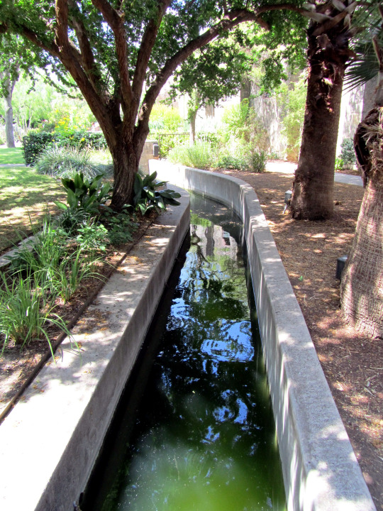
It's river-fed, with canyons on both ends of the Niikwerepi. The trees crowding around it are cypress trees, as you can tell by the little nubby off-shoots called knees. To compare, here is a photo of cypress trees along the Frio River:
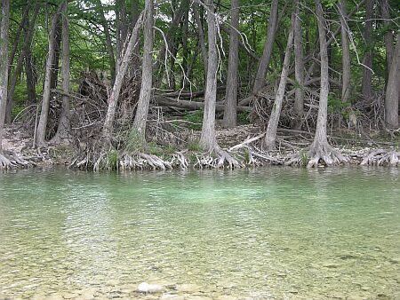
This is also reminiscent of places along the Rio Grande and Pecos Rivers, two significant water sources in West Texas. I also would not call them bayous! Bayous typically have brackish water, are slow-moving, and are way too far east.
However, it could be partly considered a ciénega -- which according to its wikipedia article:
"Ciénagas are usually associated with seeps or springs, found in canyon headwaters or along margins of streams. Ciénagas often occur because the geomorphology forces water to the surface, over large areas, not merely through a single pool or channel."
As a caveat, ciénegas generally don't have trees around them, but I also know that you can't really drown a cypress and they love sunshine. Regardless -- if you see trees in the desert they are typically growing along a water source. Balmorhea State Park has some cottonwood trees native to the area that are going strong.

Yawtanane Grasslands reads as a mix of the Chihuahuan Desert and the Eastern Plains of Colorado. Both are rather arid and home to a variety of grasses that can thrive in such a climate -- which has historically made both areas home to large cattle industries (whether or not this was ever a good idea is debatable, since cattle are very thirsty animals).
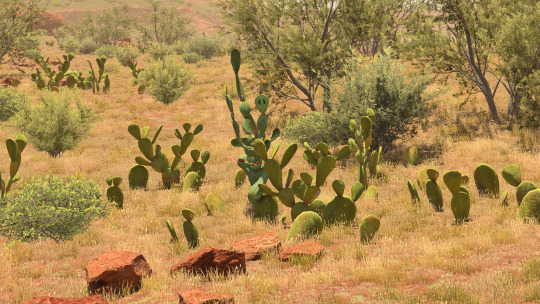
Meanwhile the Eshceyaani Wilds looks similar to the Sonoran Desert -- the red-hued soil and rocks, the abundance of cacti with the scrub brush and some drought-tolerant grasses. Here's a shot of the Sonoran within Saguaro National Park in Arizona:
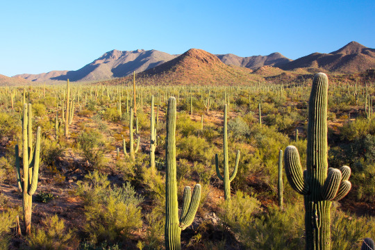
Saguaros also only grow in Arizona in the States! As well as the organ-pipe cactus, which you see in Tender Valley. And prickly pears grow just about anywhere they can get a chance -- as well as barrel cacti, both of which we see in Tender Valley (along with what could be agave!).

You could probably make a case for it being a piñon-juniper scrubland -- everything's very short compared to those cypress trees, including the juniper trees! Piñon-juniper scrubland's found throughout the Southwest. There are also piñon-juniper savannahs and persistent woodlands intermixed in the same places. The difference lay in what plants you find with the piñon pines and junipers.

Visually, aside from the Sonoran Desert, I can also see a lot of New Mexico, like the Ghost Ranch in Rio Arriba:
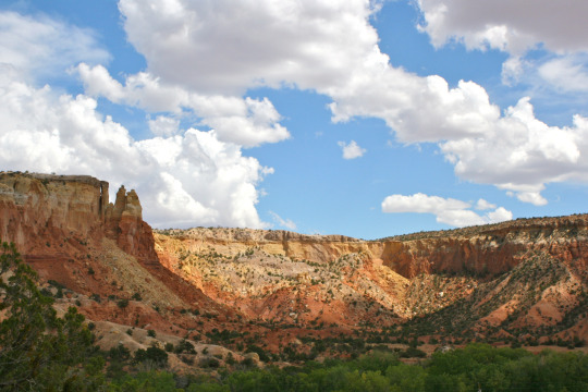
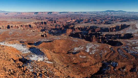
It matches up with the mountains you can see, and both Yowekwa Canyon and Tender Valley. And of course, Tender Valley is likely a Grand Canyon reference, going by the sheer height of the cliffs. But you could also make a case for Canyonlands National Park in Utah.
There's a shot from Grand View Point Overlook within the park -- the closeness of the canyon walls and the warm earth tones also evoke Tender Valley!
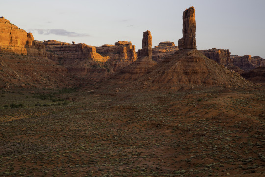
There's also a lot of these sandstone formations in Utah that better fit Shaaloani -- like here in the Valley of the Gods:


Shaaloani Structures
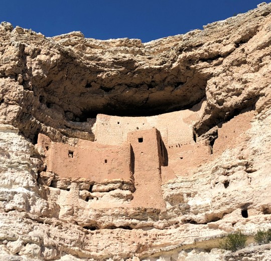
I also at this point want to call attention to one of the two sites with cliff dwellings & adobe structures. We just saw Tender Valley above, which is confirmed to be old Yok Huy structures. But check out these Tonawawta buildings below.

As I stated before, I don't want to state which tribe these two styles remind me of. But I do want to say this again strikes me as another New Mexico and Arizona callback; both the Gila Cliff Dwellings and the Puye Cliff Dwellings are found in two different areas of New Mexico. And the Gíusewa Pueblo, also in New Mexico! Montezuma Castle is found in Arizona, and is pictured below! Look at that rich reddish earth color.
I also want to call attention to the place of worship for the Tonawawta in Yowekwa Canyon:
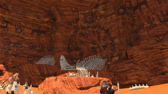
When I saw it my kneejerk response was to call it an ofrenda. But that's ultimately an incomplete response -- that was just the vibe I felt after seeing them during my life! What it also reminds me of are pictographs and petroglyphs. You find these all over the Southwest (the climate helps preserve them!), but I'm going to link some really great examples. I won't provide images to all though!
Crow Canyon Petroglyphs:
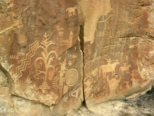
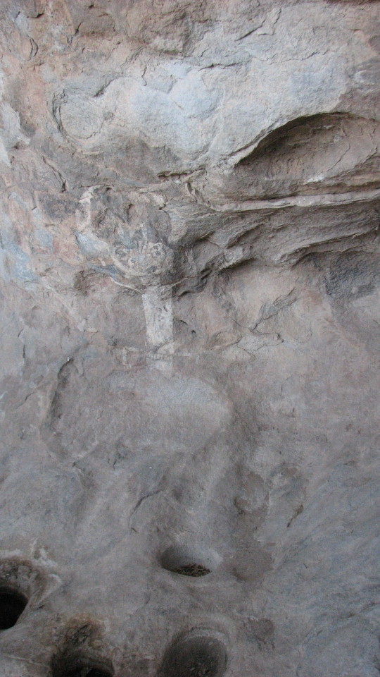
Piedras Madras Canyon at Petroglyph National Monument (New Mexico) Petroglyph Point Trail at Mesa Verde National Park (Colorado) Petroglyph Panel at Canyon Reef National Park (Utah) Nampaweap at Grand Canyon-Parashant National Monument (Arizona) Horseshoe Canyon at Canyonlands National Park (Utah) and the Hueco Tanks State Park (Texas)
In contrast, I don't want to spend a ton of time on the boom town structures in this zone; they are pretty straightforward references to mining towns during the different resource booms (gold, silver, copper, oil).
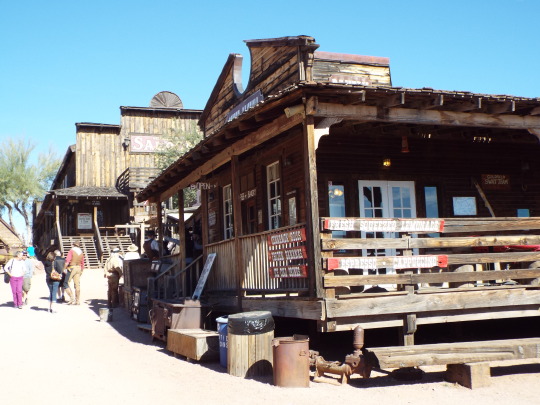
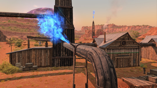
Similar blocky shapes, built out of wood. One thing I noticed as a neat addition are the decorative patterns painted on it -- again, I don't want to presume if there's a specific tribe tied to this. But I do think it's a neat touch and I want to think that's a design choice to convey the underlying theme that this is a zone at odds with advancing technology and wanting to keep hold of important traditions.
I WILL talk about the ceruleum wells and pumping though. Mostly because I'm impressed that they went with structures that so closely resemble early 20th century oil derricks. Those were also predominately made of wood (including the barrels, yikes!). The pump part of what's called a pumpjack were covered in the old days -- the ones we're most used to seeing now are made of metal and are thus left uncovered.


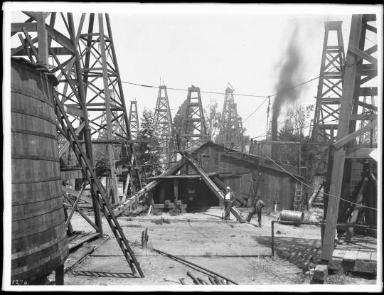
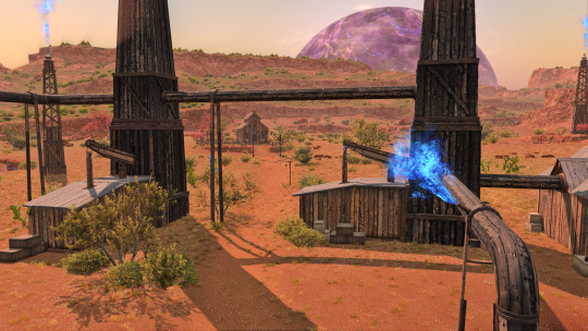
However, as you can see from this century old rig, even the wheel's made of wood:
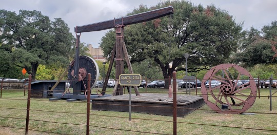
I don't think ceruleum gushes the same way oil did -- it seems to behave more like natural gas. However, most natural gas pipelines do burn off excess, which can be seen as a little spout of flame atop.
Oil's occupied an awkward spot in the Southwest, and still does. Aside from the heinous crimes committed in Killers of the Flower Moon (where members of the Osage tribe were murdered for their oil shares in Oklahoma) and the Teapot Dome Scandal, oil is just... well.
Bear with me, I'm about to rag on Koana a moment.
The people who make the most money and have the most power over the average roughneck's life never live in the Southwest. They work in the c-suite and have more money than sense.
I find it very fascinating that DT chose to recreate this dynamic, this uncomfortable push-pull of a region rich in a resource, and it's being harvested at the suggestion and behest of a power that is physically removed from the area. And to some NPCs it's with a certain level of disregard to traditions and practices in place before, with the focus on the nebulous quantifier of 'progress'. Progress how? It depends!
But the folks at the highest seat of power never have to grapple with those questions, because to them it's a fairly cut and dry answer. This is the way to proceed, and if they want to take this nation into the "future", then this is the clear way to do it. It speaks to Koana's fixation on foreign technology to the point he de-values his own (partly due to his childhood trauma, which kind of prepped him to be susceptible to it).
Meanwhile the locals are the ones grappling the most with this change -- how it affects their plants and animals. Sometimes pits open up in the earth and ceruleum burns (which, Santa Rita New Mexico sank multiple times into the earth thanks to copper mining). On the map there's even discolored plants -- and they only occur in the vicinity OF the bulk of the ceruleum pumps.

This is at odds with core beliefs, keeping up with traditional practices. It puts people in the place of 'do I participate in this system, which promises work and the means to take care of my family, even as it pits me against my cultural heritage?'.
Growing up in West Texas, one of the weirdest things to me (to this day) is how many people will claim they love the land. They do! They love the outdoors, they worry over how certain species of animals have become scarcer. But they also work in the single most damaging industry because it pays the most money. It lets them cover bills and give their kids what they never had.
That same push-pull is in Shaaloani narratively; when progress has been thrust upon you, how do you survive it? How do you make sure what's dearest to you comes along with you?

In Conclusion
I want to call it here for Part One -- Part Two after this will cover more observations I had regarding flora and fauna in the Shaaloani zone, and how that also shows the attention to detail given this zone! It's a good time! There will be dinosaurs!
#FFXIV#ffxiv dawntrail#dawntrail spoilers#zone spoilers#shaaloani#ffxiv lore#lore speculation#long post
373 notes
·
View notes
Photo

Pecos Canyon, New Mexico, ca. 1920
Photographer: T. Harmon Parkhurst
Negative number: 148816
166 notes
·
View notes
Photo

1920 c. Pecos Canyon, New Mexico. From America in the 1920′s, FB.
136 notes
·
View notes
Text

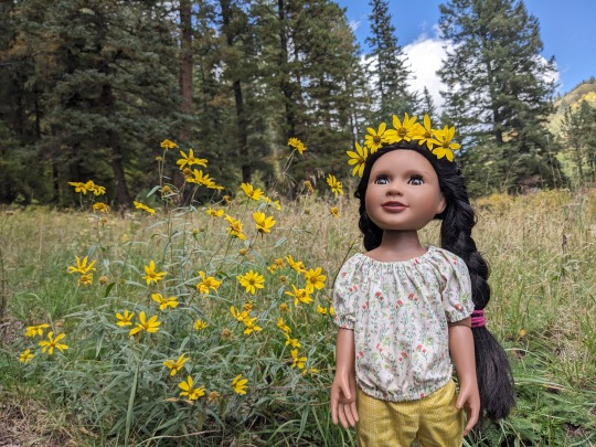
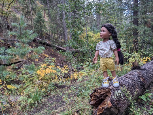


Earlier in October, Kewanee and I went on a camping trip to see the leaves changing color in Pecos Canyon, near where the mighty Pecos River originates. It was so beautiful despite the on-and-off rain.
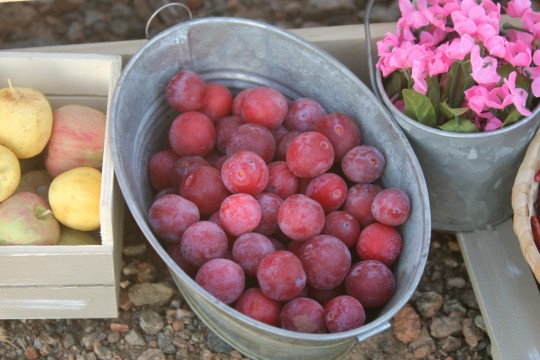
The last picture is of a native Chickasaw Plum tree we found growing by the river. The plums are about the size of grapes, perfect for little doll hands.

I harvested a few handfuls for Antonia, so that she could sell them at her market stand.
12 notes
·
View notes
Photo

Timeline Settings Disney Animated Canon Fantasia: Rite Of Spring 65,000 BCE Brother Bear 10,000 Bc Atlantis The Lost Empire 7000 BC Fantasia 2000: Pomp And Circumstance 1800 BCE Firebird Suite 1590 BCE Fantasia: The Pastoral Symphony) 1277 BCE Hercules 1179 Bce The Lion King 1178 Bce Moana 984 Bce Maui Gone Fishing short 984 Bce Ye Olden Days short 800 A.D. The Sword In The Stone 400s The Sword In The Stone 400s The Black Cauldron Dark Ages 570 Fantasia The Sources Apprentice 740 Aladdin 800s Fantasia Night On Bald Moutian 1025 Robin Hood 1194 Sleeping Beauty 1300s The Hunchback Of Notre Dame 1482 The Emperor's New Groove -1500 Snow White And The Seven Dwarfs Early 1500s Pocahontas 1607 Fun And Fancy Free: Mickey And The Beanstal 1734 Beauty & The Beast 1770s The Adventures Of Ichabod 1790 Melody Time: The Legend Of Johnny Appleseed 1795 Tangled 1820 50th Anniversary Animation Countdown short 1820 Frozen 1820 Tangled Ever After short 1841 Melody Time: Pecos Bill 1858 Alice In Wonderland 1862 Fantasia 2000 The Steadfast Tin Soldier 1865 Cinderella Mid 1860s Home On The Range Mid 1875s Fantasia Dance Of The Hours 1876 Tarzan Mid 1882 Disneypedia Living In The Jungle short 1882 Pinocchio 1883 Make Mine Music: The Martins And The Coys 1885 Make Mine Music: The Whale Who Wanted To Sing At The Met 1886 Make Mine Music Casey At The Bat 1888 Make Mine Music Johny Fedora And Alice Bluebonnet 1889 Melody Time Once Upon A Wintertime 1890 The Little Mermaid Mid 1890s Fantasia Nutcraker 1892 The Jungle Book 1893 Basil The Great Mouse Detective 1897 So You Think You Can Sleuth short 1897 Peter Pan 1900 Mr Toad 1906 Lady & The Tramp 1908 The Aristocats 1910 Atlantis The Lost Empire 1914 Fantasia 2000 Pines Of Rome 1924 The Many Adventures Of Winnie The Pooh 1926 Winnie The Pooh And A Day For Eeyore Short 1926 Mini Adventures Of Winnie The Pooh Short 1926 Winnie The Pooh 1926 The Ballad Of Nessie Short 1926 Get A Horse Short 1928 Fantasia 200 RHAPSODY BLUE 1932 The Flying Mouse short 1934 "The Band Concert short 1935 " Make Mine Music Peter And The Wolf 1936 Make Mine Music Blue Bayou 1936 "Elmer Elephant short 1936 " Thru the Mirror short 1936 Three Blind Mouseketeers short 1936 The Old Mill short 1937 Farmyard Symphony short 1938 The Brave Little Tailor short 1938 Paperman Short 1940 "Lend a Paw Short 1941 " Dumbo 1941 Fun And Fancy Free Bongo 1941 The Reluctant Dragon short 1941 Saludos Amigos 1942 South Of The Border With Disney short 1942 Bambi 1942 Symphony Hour short 1942 The Three Caballeros 1944 Make Mine Music All The Cats Join In 1946 "A Knight for a Day short 1946 " Bath Day short 1946 Melody Time Little Toot 1948 "Pueblo Pluto short 1949 " "Puss Cafe short 1950 " "Lambert the Sheepish Lion short 1951 " Donald Applecore short 1952 Water Birds short 1952 "Trick or Treat short 1952 " Don's Fountain of Youth short 1953 Casey Bats Again short 1954 Grand Canyon short 1958 101 Dalmatians 1961 Rescuers 1-2 1970s inner workings short 1980s The Fox & The Hound 1981 Oliver & Company 1988 Fantasia 2000: The Carnival Of The Animals 1999 Lilo & Stitch 2002 Chicken Little 2002 Easter Egg Runt On The Litter short 2002 Easter Egg Foxy Loxy Short 2002 Meet The Robinsons 2007 Keep Moving Forward Invention short 2007 Bolt 2008 Super Rhino short 2008 Wreck-It Ralph 2012 Big Hero 6 2014 Feast short 2014 Tokyo Go short 2014 Zootopia 2016 Wreck-It Ralph 2 2018 Meet The Robinsons 2037 Treasure Planet 10000000000000000000...
26 notes
·
View notes
Text

[ID: tags saying "#me someone who has always lived at the beach: Where is the water?!"]
Behold the Rio Grande!


[ID 1: a view across a river of golden cottonwoods
ID 2: a view across a river of golden cottonwoods with the Sandia mountains in the background
ID 3: hundreds of hot air balloons over the bosque surrounding the Rio Grande]
and I can't forget Abiquiu lake


[ID 1: a view from across a lake of red mesas
ID 2: a view from juniper savanna of a lake with red mesas in the distance
ID 3: a view of a lake in a desert area]
El Vado Lake!

[ID: a lake beneath a large, forested mesa]
The Pecos river!


[ID: a small river through a canyon dotted with juniper trees
ID 2: a brown river flowing through a canyon surrounded by trees]
“oh, I live in a desert and-”
“wow that must be so terrible” “deserts are so ugly” “I would never want to live in a wasteland like that” “it’s just empty nothingness”
wishing 10,000 exploding hammers upon you
behold New Mexico
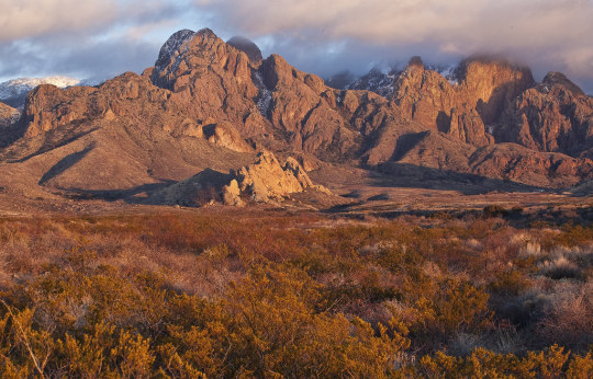

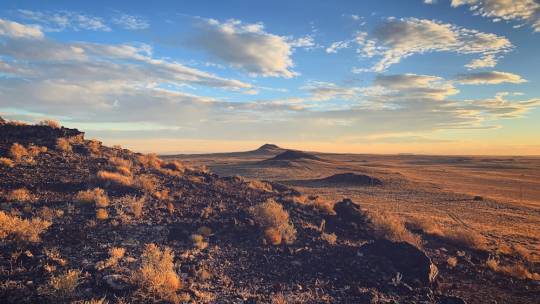
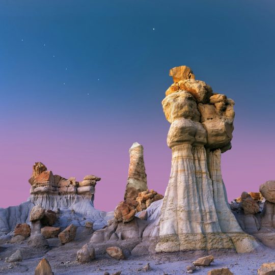
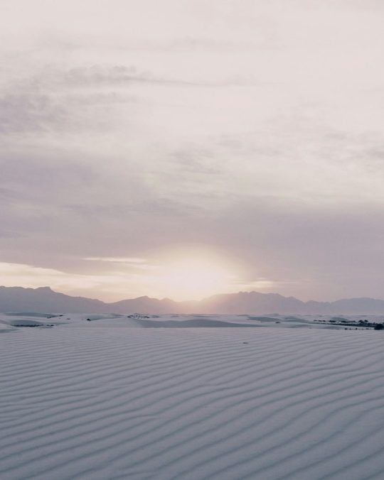
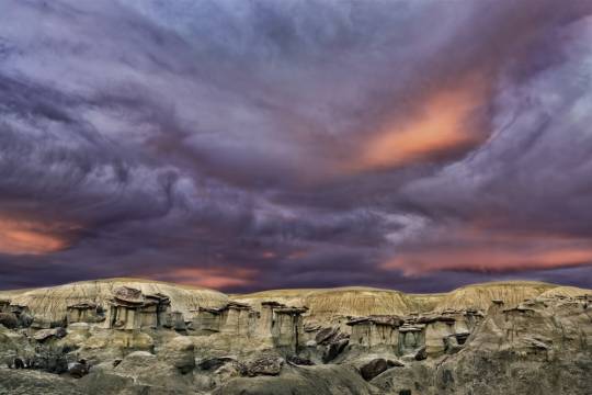
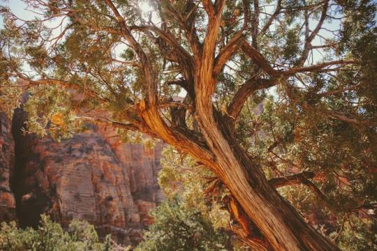
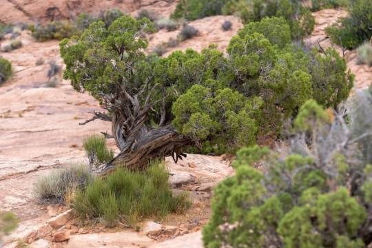
[ID 1: tall, snowcapped rocky mountains rising above a plain filled with desert scrub
ID 2: brightly colored banded cliff walls of several mesas climbing their way into mountains
ID 3: a desert prairie
ID 4: colorful hoodoos against a twilight sky
ID 5: white sand dunes as far as the eye can see
ID 6: a collection of hoodoos against a stormy sky at sunset
ID 7: a juniper tree standing with a cliff wall in the background
ID 8: several juniper trees on a rocky landscape]
42K notes
·
View notes
Text
Traveling Across the USA New Mexico
Santa Fe In the Sangre de Cristo Foothills Number thirty in the series sightseeing in the US capitals Santa Fe the capital of the US state of New Mexico sits in the Sangre de Cristo foothills. It was founded as a Spanish colony in 1610. Once a trade route, Canyon Road led to the Pecos community on the mountains’ eastern slope. Today, it is home to more than 100 art studios, galleries, and…

View On WordPress
0 notes
Text

#nature#mountains#hiking#landscape#new mexico#forest#creek#panchuela creek#cave creek trail#pecos canyon#pecos wilderness
51 notes
·
View notes
Text
Pecos, Texas: A Hub for Outdoor Enthusiasts.
Nestled in the heart of West Texas, Pecos stands as a beacon for outdoor enthusiasts seeking adventure, tranquility, and the beauty of the natural world. From rugged desert landscapes to pristine rivers, this charming town offers a plethora of opportunities for exploration and discovery.
Exploring the Chihuahuan Desert
Pecos serves as the gateway to the vast Chihuahuan Desert, one of the largest and most biologically diverse deserts in North America. Adventurers can embark on thrilling hikes through rugged canyons, where the stark beauty of the desert unfolds before their eyes. The iconic landscapes of the desert, with its towering mesas and dramatic cliffs, provide endless opportunities for photography and contemplation.
Hiking and Backpacking
For those craving more immersive experiences, Pecos, Texas boasts an extensive network of hiking and backpacking trails. Whether you're a seasoned trekker or a novice explorer, there's a trail suited to your skill level and interests. The nearby Davis Mountains offer challenging routes for experienced hikers, while the scenic trails of the Chihuahuan Desert State Park provide a perfect introduction to the region's natural wonders.
Birdwatching Paradise
Pecos is a paradise for birdwatchers, with its diverse array of avian species and prime birding locations. The nearby Balmorhea State Park attracts bird enthusiasts from around the world, thanks to its tranquil ponds and lush vegetation, which provide habitats for a wide variety of bird species. From majestic raptors to colorful songbirds, the skies of Pecos are alive with the sights and sounds of feathered wonders.
Fishing and Water Recreation
The Pecos River, which meanders through the town, offers excellent opportunities for fishing and water recreation. Anglers can cast their lines in search of prized catches such as trout, bass, and catfish, while kayakers and canoeists can navigate the river's gentle currents and scenic rapids. The river also provides a refreshing respite from the desert heat, inviting visitors to cool off and relax amidst the pristine beauty of its waters.
Stargazing Under the Texas Sky
As night falls over Pecos, another breathtaking spectacle unfolds: the star-studded canopy of the Texas sky. Away from the glare of city lights, stargazers are treated to a celestial panorama of unparalleled beauty. The clear, dark skies of West Texas offer optimal conditions for observing constellations, planets, and distant galaxies, making Pecos a premier destination for astronomers and amateur stargazers alike.
Cultural and Historical Attractions
In addition to its natural wonders, Pecos boasts a rich cultural and historical heritage. History buffs can explore the town's fascinating museums and historic sites, which offer insights into the region's past and its significance in shaping the cultural landscape of Texas. From the ancient rock art of the indigenous peoples to the remnants of Spanish colonial settlements, Pecos is a treasure trove of historical treasures waiting to be discovered.
Conclusion
Pecos, Texas, is much more than just a small town in West Texas; it's a haven for outdoor enthusiasts seeking adventure, tranquility, and connection with the natural world. Whether you're hiking through rugged desert canyons, casting your line in the pristine waters of the Pecos River, or marveling at the wonders of the night sky, Pecos offers endless opportunities for exploration and discovery. Come experience the magic of Pecos and embark on an unforgettable journey into the heart of Texas wilderness.
0 notes
Text
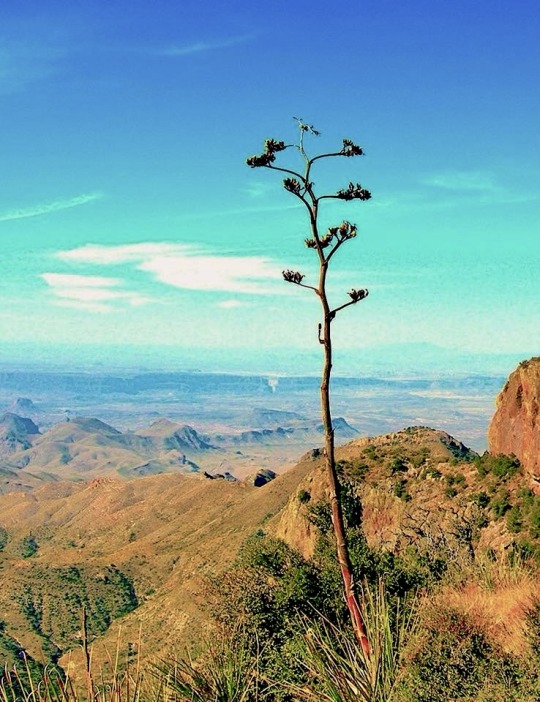
#big bend national park#chihuahuan desert#texas trans pecos#desert plants#santa elena canyon#mountains#backpacking#photo by me
16 notes
·
View notes
Text
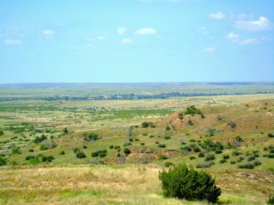
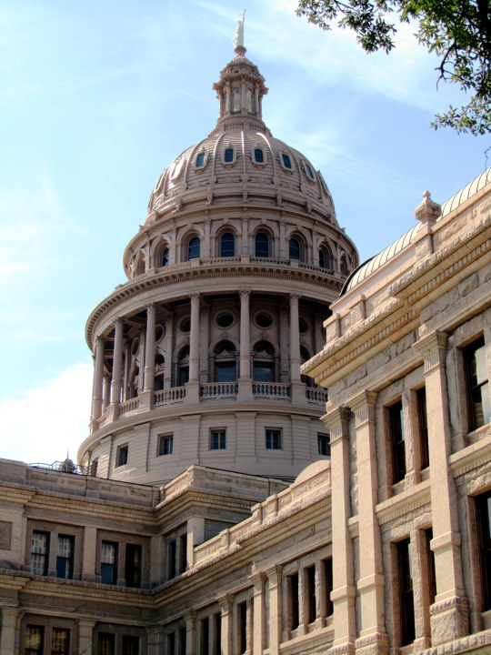

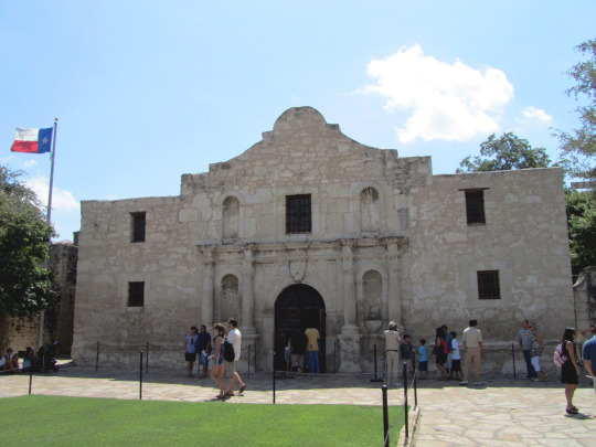
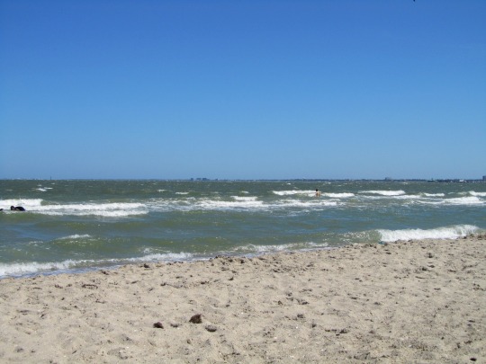
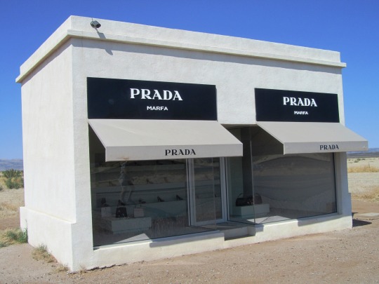



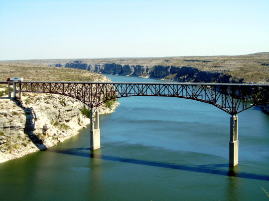
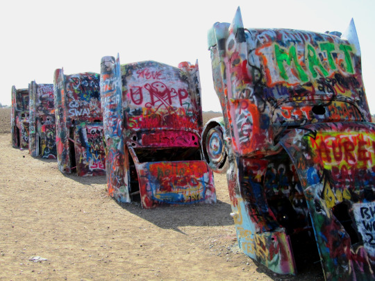


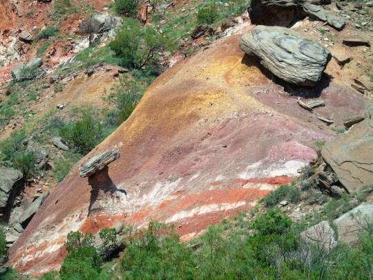

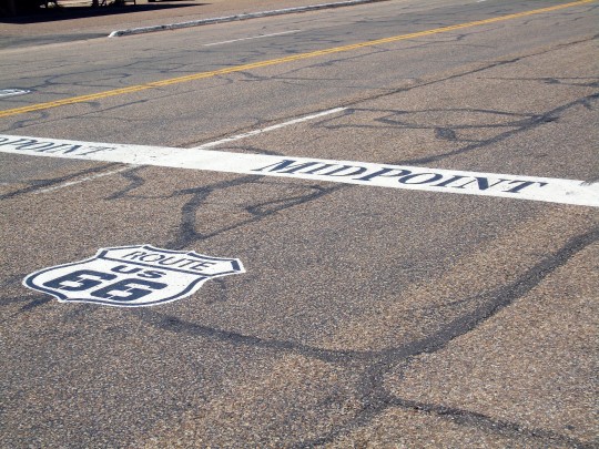
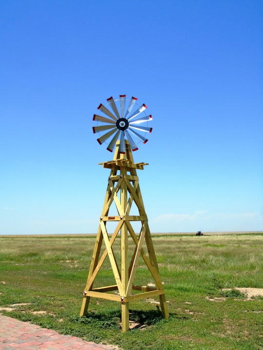
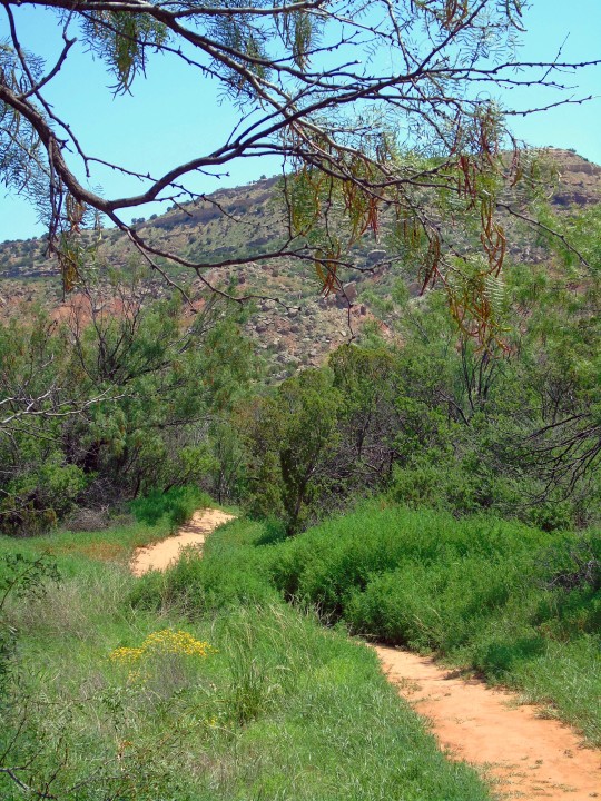


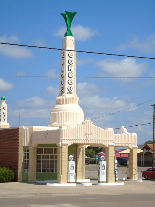

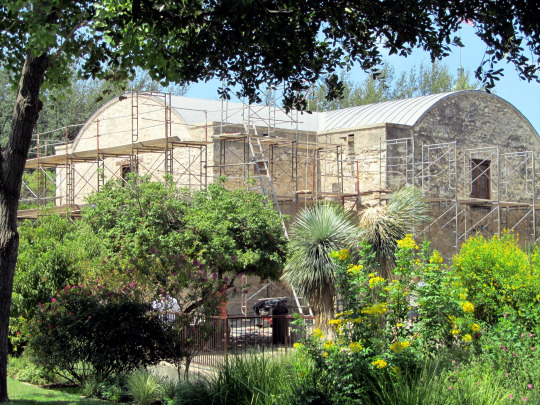
Texas was readmitted to the Union following Reconstruction on March 30, 1870.
#Palo Duro Canyon State Park#Adrian#Route 66 Midpoint#prairie#Highway#Texas State Capitol#Austin#Corpus Christi#Gulf of Mexico#Pecos River High Bridge#Langtry#Alamo#San Antonio#Cadillac Ranch#Amarillo#landscape#seascape#countryside#cityscape#architecture#original photography#summer 2011#2014#tourist attraction#Texas#readmitted#USA#30 March 1870#anniversary#US history
5 notes
·
View notes
Text
Day 9 Thursday
Bandelier to Conchas Lake State Park, New Mexico
What a difference four hours can make! Last night the temperatures fell to the low twenties and by 8:00 had warmed up to a cozy 36. But by the time we were ready for our hike it was close to 50 degrees.
We had a nice hike to the overlook of Frijoles Canyon and Tyuonyi Pueblo. We saw the remnants of houses where people lived over a thousand years ago. At the overlook we could see where there had been a thriving village long ago.


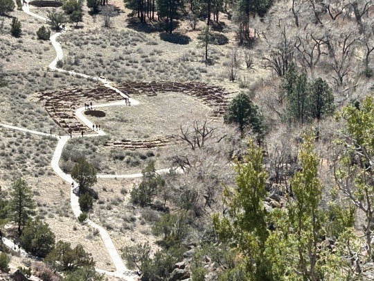
Then we were on to our next stop and National Park site 115 for me. 😀 This stop was Pecos National Historical Park. Here there is a varied history from Pueblo and Plains Indians, Spanish conquistadors and missionaries, Mexican and Anglo armies (including a Civil War battle), Santa Fe Trail settlers, railroad, Route 66 and modern travelers. We explored the Pecorino Mission church. It really was a step back in time.
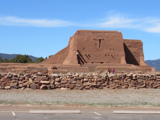
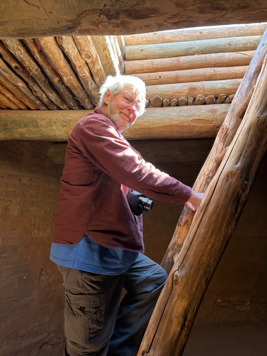

Then on to our stop for the night. It was a two hour drive during which we discovered a new meaning of being the middle of nowhere! Most of the time we saw no cars, no houses, nothing but endless fields of grass and scrub trees. When we got to Conchas Lake State Park, we found it barely inhabited but at least the temperature was around 70, although it was quite breezy. So maybe we will get blown away instead of freeze to death.

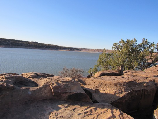
Today’s Miles: 193
Total Trip Miles: 2699
States: New Mexico
0 notes