#pacific central
Explore tagged Tumblr posts
Text

VIA Rail Station
#railway station#pacific central#vancouver#station street#local#photographers on tumblr#original phography
95 notes
·
View notes
Text
Big Sur 🌊🌅 California

#Big Sur#Blue Hour#Golden Hour#Pacific Ocean#Coastline#Mountains#Ocean#Seafront#Central Coast#Monterey County#California
153 notes
·
View notes
Text


train landscapes 1: amtrak coast starlight
229 notes
·
View notes
Text

Another year, here we go!
(prints here)
some wip shots since I know some people like seeing them!


meant to take more screenshots, but ended up super busy and forgot once I came back after a few months, whoops. Making the iceberg itself was super fun!
#happy to be done with this one#started it in like may and then moved states#and everything else in my life happened#the crack gave me hell it was totally different for a while there#wanted to put some red into this one but couldnt figure out how#someday i'll work in colors that arent all blue or all red#maybe green or purple someday#one can dream#i think this year im not gonna do a poster series with a theme#doing the entire pacific division was such a fun challenge and made me be really creative#but hot damn do i get like less than any ideas with the central division#so i think this year im just gonna draw whatever i think is baller#and it wont be connected to the games at all#just fish#anyways#my art#seattle kraken#seattle#nhl#hockey art#hockey#kraken
123 notes
·
View notes
Text

Sunset Park, La Libertad, El Salvador: Sunset Park is an amusement park located in La Libertad, El Salvador, on the Pacific coast. The park is a part of Bukele's plan to expand Surf City, which is nearby. The park was built with the support of the Chinese government. Wikipedia
114 notes
·
View notes
Text

El Morro - Monique Wales , 2015.
American, b. 1970s -
Linocut , 16 x 24 in. Ed. 30.
571 notes
·
View notes
Text


Guanacaste Province
#me#vyva melinkolya#ocean#tide pools#costa rica#latin america#central america#pacific#blue#grey#humid#night#grain#olympus photography
200 notes
·
View notes
Text
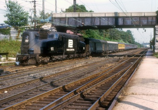
Amtrak #911
Former Penn Central GG1 911 @ Paoli, PA. Photographer unknown. (Oct 1973)
#amtk#amtrak#pc#penn central#up#union pacific#1973#trains#passenger train#history#paoli#pennsylvania
101 notes
·
View notes
Text
Trainposting :3
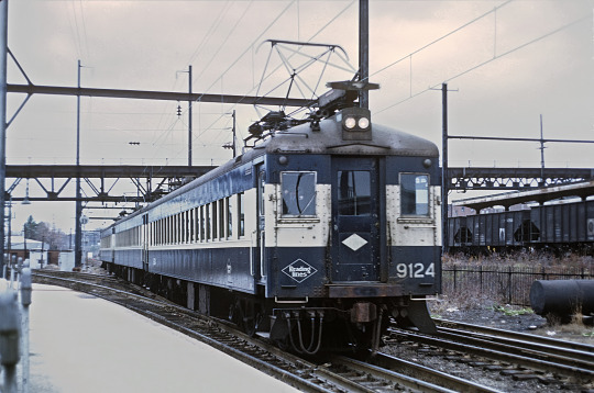

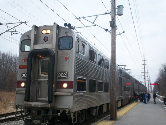
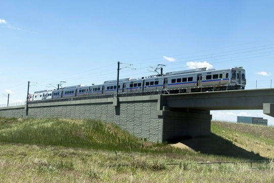
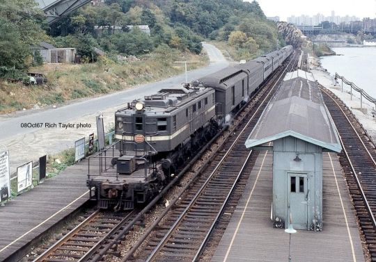
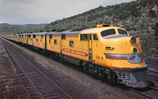


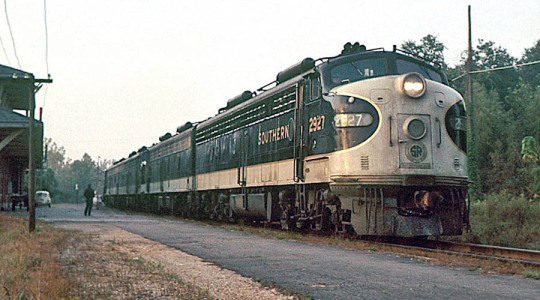

#trainposting#amtrak#electric traction#reading railroad#amtrak cascades#southern railway#southern serves the south#northern pacific#rock Island Railroad#new york central#south shore railroad#union pacific#steam locomotive#passenger train#electrification#electric train
111 notes
·
View notes
Text

O‘ahu Island, Hawaii: Oahu is the most populated and third-largest of the Hawaiian Islands. The island of Oahu and the Northwestern Hawaiian Islands constitute the City and County of Honolulu. The state capital, Honolulu, is on Oahu's southeast coast. The Island of Oahu in Hawaii is often nicknamed, as "The Gathering Place". The translation of "gathering place" was suggested as recently as 1922 by Hawaiian Almanac author Thomas Thrum. Wikipedia
89 notes
·
View notes
Text

Basalt columns in basalt of Newberry Volcano, lower Crooked River Gorge, central Oregon. Each one is 60-120 cm across (2-4 feet).
#oregon#geology#photography#pacific northwest#bettergeology#rocks#oregon geology#basalt#basalt columns#central oregon
117 notes
·
View notes
Text
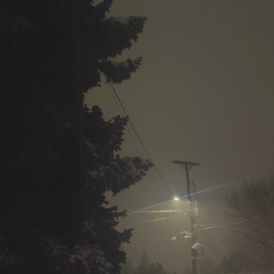

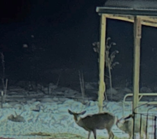
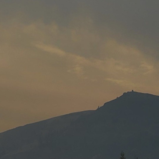
attempt at pnw gothic taken from real pictures of the pnw
#pnw#pnw gothic#pacific northwest gothic#washington#regional gothic#washington state#pacific northwest#cascadia#cascadia gothic#central washington
342 notes
·
View notes
Text
Big Sur彡 Big Splendour彡 🌅

#Golden Hour#Big Sur#Pacific Ocean#Coastline#Mountains#Sunset#Ocean#Central Coast#Monterey County#California
183 notes
·
View notes
Text

Pacific Coast, El Salvador
15 notes
·
View notes
Text
Lately, we have been making many inclusive designs, and this is no exception!
Everyone is free to use this design on shirts, stickers, pins, whatever they'd like, as long as they are using it for inclusive purposes! Just don't claim it as your own, please.
The first is transparent. The second has a background, for easier viewing


Check out our other designs:
I support equality always
Attraction is individual, not societal
Gender and sex are spectrums
Nobody chooses their sex or gender
#body diversity#racial injustice#racial inequality#black#black lives matter#black liberation#latino#latinx#asian#asian lives matter#latino lives matter#indigenous#indigenous lives matter#indigenous liberation#latino liberation#brown lives matter#pacific islander#pacific islanders#polynesian#micornesian#micronesia#melanesia#melanin#white passing#mixed race#biracial#racial equality#hispanic#north asian#central asian
13 notes
·
View notes
Video
I’d Rather Have a Time Out for Behavior in Joshua Tree National Park by Mark Stevens Via Flickr: A setting looking to the south while taking in views across mountain desert landscape with Joshua Trees and other plant-life present in this part of Joshua Tree National Park. In composing this image, I took advantage of the grouping of Joshua Trees to my front and how it helped to fill the foreground leading up to the more distant snowcapped ridges and peaks of Quail Mountain. The rest was later making adjustments with control points in DxO PhotoLab 6 to bring out the contrast, saturation and brightness I wanted for the final image.
#Azimuth 197#Blue Skies#Central and Southern California Ranges#Creosote Bush#Day 4#Desert Landscape#Desert Mountain Landscape#Desert Plant Life#DxO PhotoLab 6 Edited#Joshua Tree#Joshua Tree National Park#Joshua Tree National Park and California#Joshua Tree Ranges#Landscape#Landscape - Scenery#Little San Bernardino Mountains#Looking South#Mojave Desert#Mount Minerva Hoyt#Mountain Peak#Mountains#Mountains in Distance#Mountains off in Distance#Mountainside#Nature#Nikon D850#No People#Outside#Pacific Ranges#Peninsular Southern California Ranges
21 notes
·
View notes
