#cartographyproject
Explore tagged Tumblr posts
Text

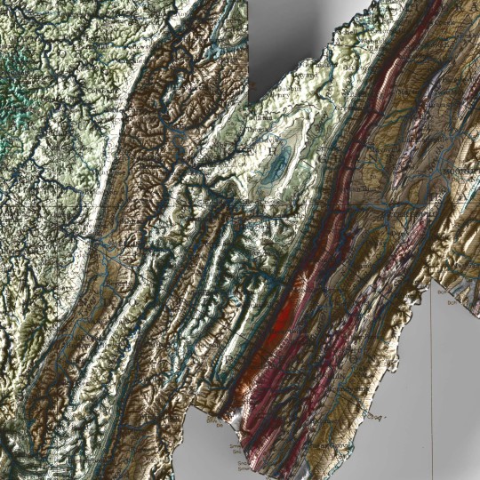

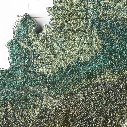
A new map from the past.
This was supposed to be part of a great new series on North America, but we are not currently free enough to plan a thematic collection, so we hope you will still enjoy the end result and digital restoration of this 1932 Geological map of West Virginia.
🗺️ 𝗠𝗔𝗣 𝗜𝗡𝗙𝗢
Geological map of West Virginia, West Virginia Geological and Economic Service, 1932.
If you like our work, want to see our daily updates (or want to say hello to our studio), consider to follow our Instagram or Twitter account. Otherwise if are interested in our prints or have a custom request check our shop.
#printdesign#3dmap#topographic#VintageMap#vintagemaps🗺#storicalmaps#usamap#usamaps#USGS#WestVirginia#westvirginiamountains#westvirginiauniversity#Virginia#UnitedStates#cartography#cartographyproject#cartographycommunity#geologia#geological#geologists
0 notes
Text
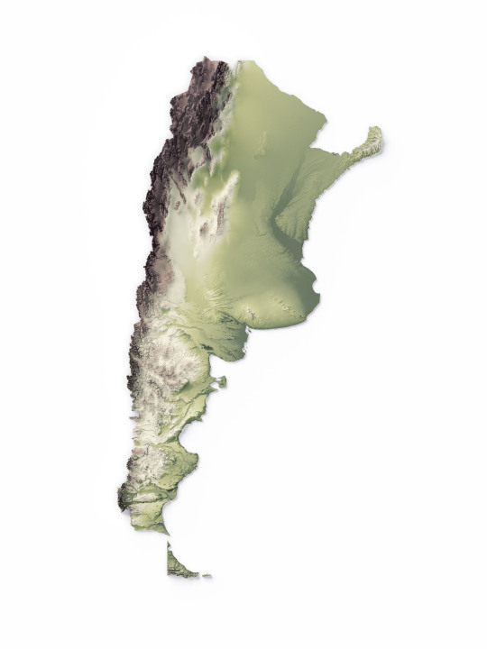
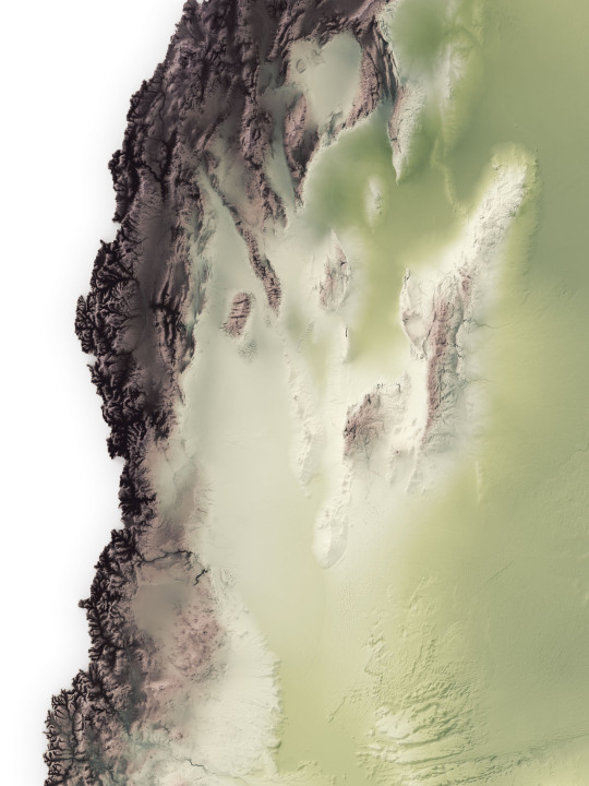
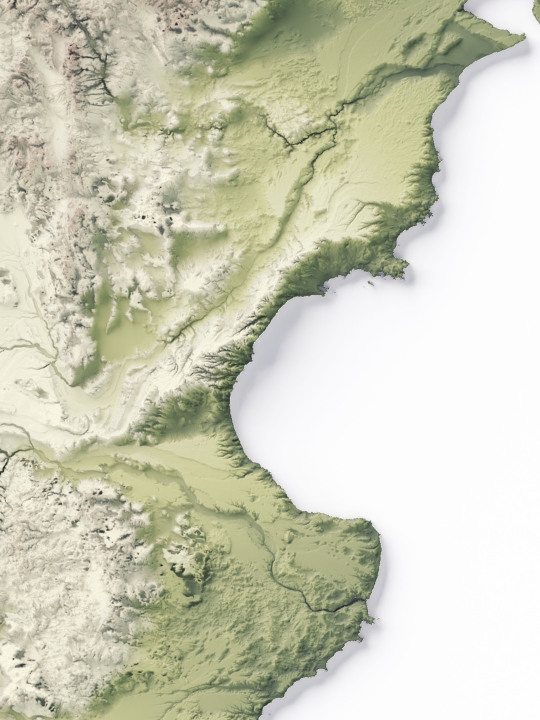

We made a series of elevation maps of Argentina.
The first shows the geological gradient starting with deep green and ending with the highest point on dark brown.
If you like our work, want to see our daily updates (or want to say hello to our studio), consider to follow our Instagram or Twitter account. Otherwise if are interested in our prints or have a custom request check our shop.
#argentina#argentinaig#argentinatravel#argentina🇦🇷#southamerica#southamericatrip#sudamérica#latinamerican#mappe#map#cartography#cartographyartist#cartographycommunity#cartographymagazine#cartographycollective#cartographyproject#GIS#elevationmap#america#geography#geografía#shadedreliefmaps#mapoftheworld
13 notes
·
View notes