#Kitwanga River
Explore tagged Tumblr posts
Text


Forest (No. 6)
Moricetown Canyon, BC (four pics)
Terrace, BC (two pics)
Gitwangak Battle Hill National Historic Site of Canada (six pics)
#Moricetown Canyon#Witset#Bulkley River#Terrace#Gitwangak Battle Hill National Historic Site of Canada#original photography#summer 2023#vacation#landmark#tourist attraction#British Columbia#Canada#travel#landscape#countryside#forest#woods#nature#tree#fir#flora#First Nations#Kitwanga River
25 notes
·
View notes
Text
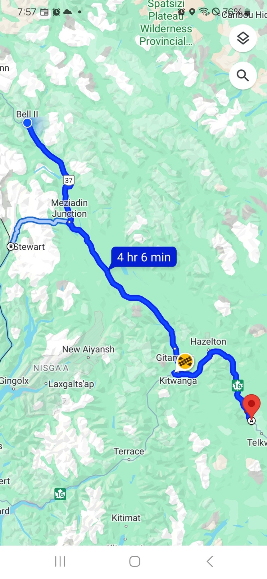
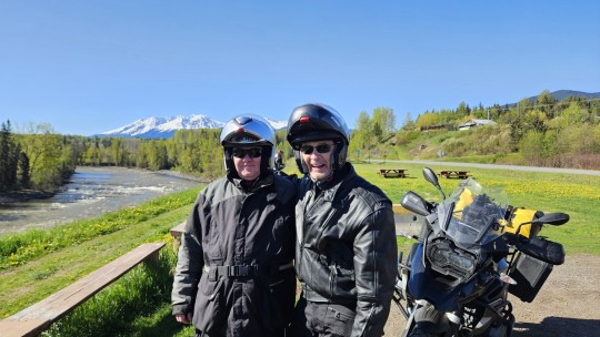
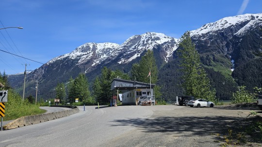
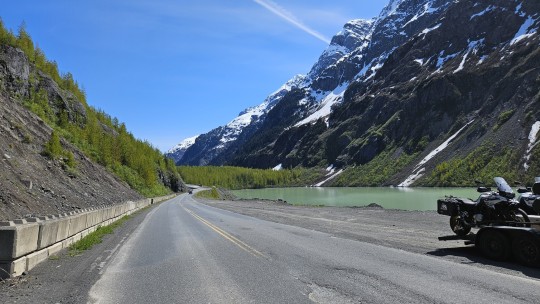
Wednesday, May 22, 2024, Smithers to Kitwanga to Meziadin Junction to Stewart to Bell 2 Lodge in Kitimat-Stikine, BC, 687 kms.
Slade, as a Canadian now resident in the US, is revelling in rediscovering Tim Hortons, so we start our morning with breakfast there.
We start as usual at 9:00 AM with the temperature in the 40s but sunny and dry. By 10:00, it's hitting the 50s, and by 11:00 we're in the 60s where it will stay for the rest of the day.
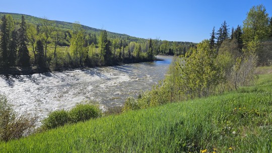
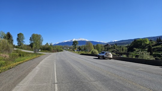
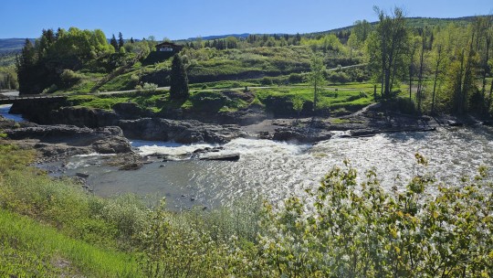
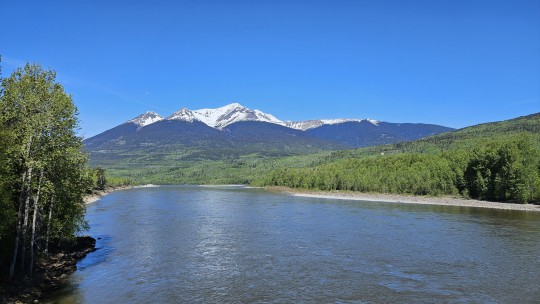
We head NW for Kitiwanga, where we will pick up the Cassiar Highway. It's a beautiful day and a beautiful route through lush green forests backed by snow-capped mountains.
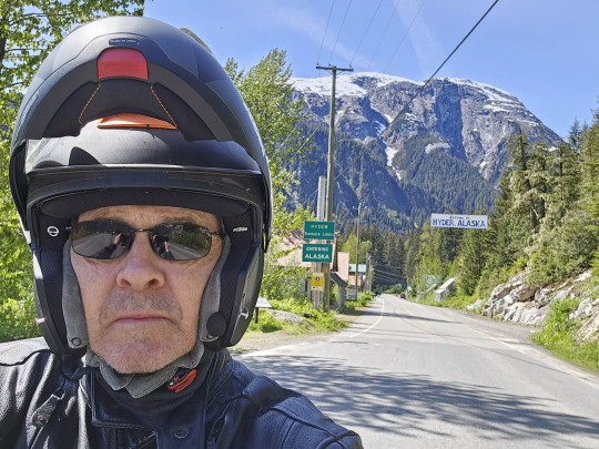
At Kitiwanga, we gas up and turn north on Hwy 37 (Cassiar) over the Skeena River and head for Meziadin Junction. From there, we detour west on 37A to Stewart, located at the head of the Portland Canal, a mere 80 miles from the Pacific Ocean, and serving as Canada's most northerly ice free port for the shipment of logs, minerals and ore. It also happens to be less than one kilometer from the town of Hyder, located across the border in the Alaskan Panhandle.
I linger behind to check out the border crossing while the group heads back. I end up getting lost in Stewart, and the result is an exhilarating, spirited ride through the twists and turns of 37A to catch back up. It's my first chance to "release the hounds," and it's a ton of fun.
I manage to rejoin the group just short of Meziadin Junction, where once again we gas up before the hour long ride to Bell 2 Lodge in Kitimat-Stikine. During the winter, it is an international Heli-skiing destination drawing clients mainly from Europe at a cost of $10,000 -$15,000 per week. That generally ends up around the end of April. We are fortunate to be coming through in the changeover period from winter to summer, which is the only reason we were able to get last-minute rooms on account of our diversion from Fort Nelson.
As a result, the services are bare, but the accommodations are lovely, and we make up for the difference with what is becoming a now regular tailgate party in the parking lot at the end of the days ride.
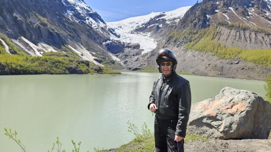
It's been a long, gorgeous, eventful day, spent immersed in beautiful scenery, wildlife (deer, moose, brown and black bears) and I think I have just enough gas left in my tank for a light dinner, shower, to finish my daily blog, and to hit the sack.
0 notes
Text
To Prince Rupert Day 6 -
We were on the road by 8:30 heading for Prince Rupert, beautiful drive along the Skeena River between the costal mountains.


We arrived to blue skies and had lunch at Bob’s On The Rocks, best Fish & Chips in town, I would give them a 9, if I could have had a beer with it, a 10.


We had a visit to the Underground Garden, and that was worth the stop, much in full bloom and colorful.
In the afternoon we drove back to Terrace to fill up with fuel and supplies and on to Kitwanga. We stayed at the Cassiar RV & Campground, friendly service and nice showers.


0 notes
Photo

Oh Terrace, BC. Get ready to have a great time! We are coming your way on Saturday, March 21st at REM Lee Theatre. Make it a date night of great music, fun and entertainment. It’s an evening you’ll never forget. ❤️😊🎶🕺💃 RELIVE THE MUSIC ‘50s & ‘60s ROCK N ROLL SHOW www.relivethemusic.ca https://m.bpt.me/event/4426206 Tickets are also available locally in Terrace at Misty River Books Store. #relivethemusic #rocknroll #musictrivia #nostalgia #datenight #bigstage #dancers #singers #fun #laughter #party #atthehop #terracebc #kitimatbc #greenvillebc #kitwanga #gitsegukla #newaiyansh (at REM Lee Theatre) https://www.instagram.com/p/B8DsYDQh0O-/?igshid=t64plc2hmxb8
#relivethemusic#rocknroll#musictrivia#nostalgia#datenight#bigstage#dancers#singers#fun#laughter#party#atthehop#terracebc#kitimatbc#greenvillebc#kitwanga#gitsegukla#newaiyansh
1 note
·
View note
Text


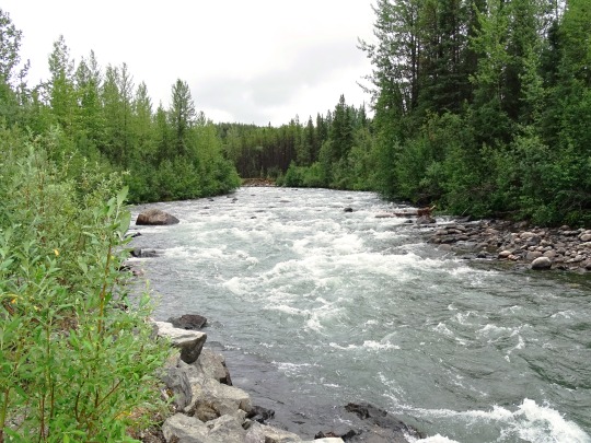
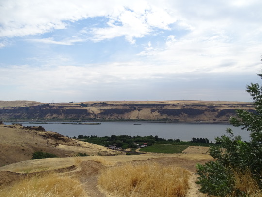

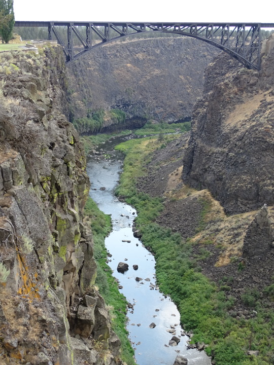

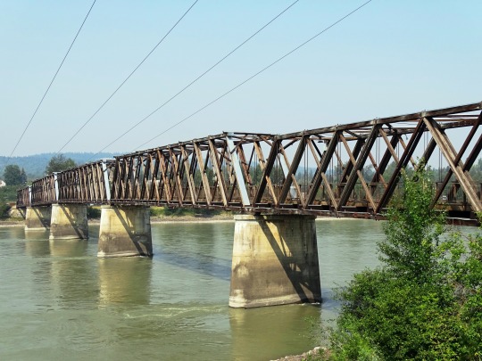
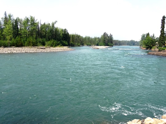

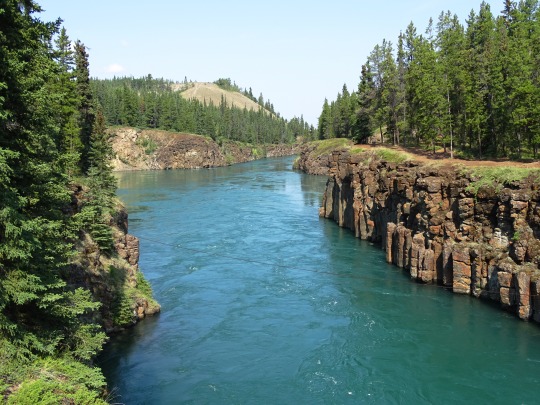

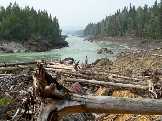
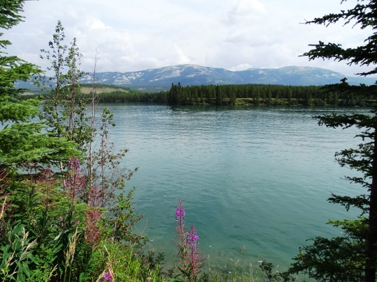
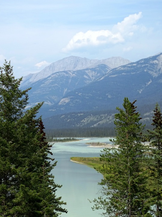
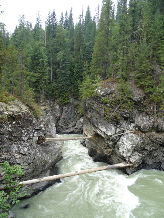
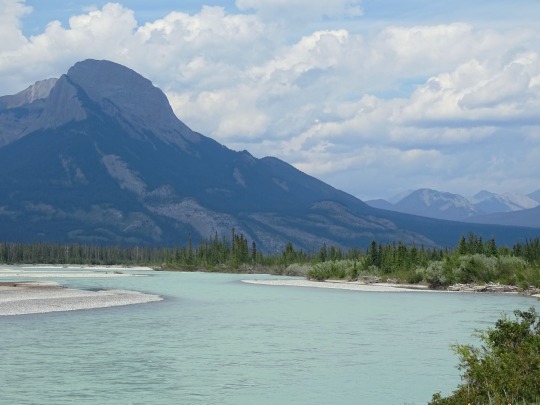
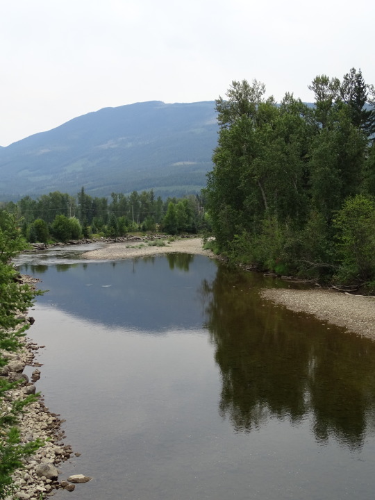

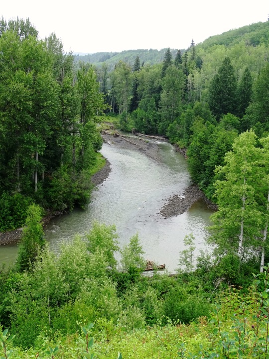

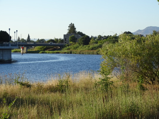
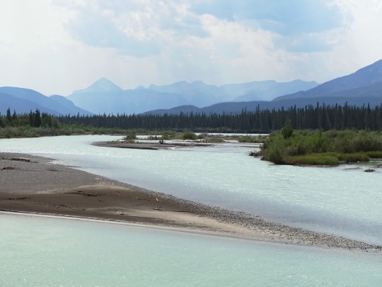

International Day of Action For Rivers
International Day of Action For Rivers, observed on March 14 every year, is a day that is dedicated to saving, celebrating, and creating awareness about the importance of rivers. Did you know that two million tons of sewage, industrial and agricultural waste are discharged into the world’s water every day? Yes, it is the equivalent of the weight of the entire human population of 6.8 billion people! This is why it is our time to save our rivers for the good of humanity.
History of International Day of Action For Rivers
The International Day of Action For Rivers is a day created by the International Day of Rivers to sensitize people about the importance of rivers. It brings people across the world together to talk about and save rivers by addressing the issues related to river management, river pollution, river conservation, etc.
The history of the origin of the International Day of Action For Rivers is an interesting one. In September 1995, several organizations, including International Rivers Network (I.R.N.), India’s Save the Narmada Movement (N.B.A.), Chile’s Biobio Action Group (GABB), and European Rivers Network (ERN) came together and conducted a preparatory meeting in Brazil. As a result, they formed an international Organizing Committee headed by Brazil’s Movement of People Affected by Large Dams (MAB).
In March 1997, in Curitiba, Brazil, participants of the First International Meeting of People Affected by Dams adopted the International Day of Action Against Dams and For Rivers, Water and Life. Furthermore, they decided that the International Day of Action For Rivers will take place on March 14.
Every year there will be a theme for the International Day of Action For Rivers, and last year, in 2021, the theme was ‘Rights of Rivers.’ It demanded that rivers be declared a national asset and given legal rights to stop the rivers from becoming dumping sites for waste and sewages.
Environment enthusiasts conduct workshops, seminars, and activities to celebrate this day to raise awareness and spread the message. So, let’s take a stand against the activities that harm the rivers and protect them at all costs.
International Day of Action For Rivers timeline
1995
Formation Of An International Organizing Committee
A preparatory meeting is held in Brazil, and an International Organizing Committee is formed.
1997
The First International Day of Action For Rivers
The first International Day of Action For Rivers is adopted by representatives from 20 countries in Curitiba Brazil.
2010
People Get More Awareness
People across the world get to know more about the importance of rivers.
2021
The First Virtual Celebration
Due to the pandemic, many organizations conduct events online to celebrate International Day of Action For Rivers.
International Day of Action For Rivers FAQs
What does the International Rivers organization do?
This organization strengthens movements of communities and civil society to defend rivers by exposing destructive projects.
Is International Day of Action For Rivers the same as World River day?
No International Day of Action For Rivers is different from World River Day, which is celebrated every year on September 26.
What is the theme of the International Day of Action For Rivers 2022?
The International Rivers organization will announce the theme of the International Day of Action For Rivers.
How to Observe International Day of Action For Rivers
Join the movementIf you want to make a difference in this world, you can plan an event in your locality to save or conserve the rivers and share the details and descriptions to [email protected].
Educate others about the importance of riversRivers are the lifeline of the Earth, and without them, humankind will perish. So, educate your friends and family about the significance of rivers and clean water.
Share your favorite river storyThis day, you can share your favorite personal stories related to rivers. Whether it is related to a fun family picnic or any activities to save the rivers, you can share it on your social media.
5 Important Facts About Rivers
Rivers are being polluted each day: More than 80% of sewage in developing countries is discharged untreated in the rivers and other water sources, thereby polluting them.
River’s mouth: The end of a river is called ‘a mouth,’ it takes the water from the river into the sea or large lakes.
The shortest river is very short! The shortest river, Roe River, is only 201 feet and is located in Montana in the U.S.
Rainbow river: River Cano that flows through Columbia is one of the most beautiful rivers in the world due to its striking colors.
The holy river: River Ganga in India is considered a holy river and is even worshipped as a Goddess there.
Why International Day of Action For Rivers is Important
Rivers are the lifeline of the world: Rivers are not just some scenic views of the water; they are the lifeline of this world. They create lives and enrich the ecosystem around us. International Day of Action For Rivers is a great day to raise awareness among people.
We need to educate people: Today, most rivers across the world are being polluted each day due to the greed of some humans. This day we can address those issues and can do our part to stop them.
It brings people together: The global event is proof that communities and individuals around the world can come together and make a difference in this world.
Source
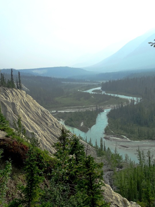
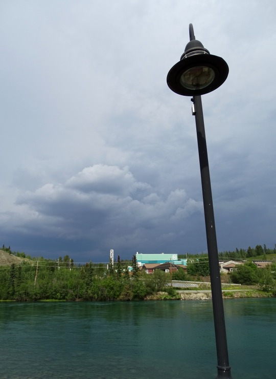
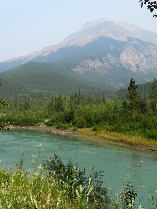
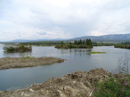
#Yakima River#Deschutes River#Columbia River#travel#original photography#vacation#tourist attraction#cityscape#landscape#USA#Canada#summer 2023#Crooked River#Fraser River#Bulkley River#Bear River#Dalby Creek#Rancheria Falls#Yukon River#Liard River#Trout River#Toad River#Racing River#Athabasca River#North Thompson River#Raft River#Fitsimmons Creek#Kitwanga River#International Day of Action for Rivers#14 March
2 notes
·
View notes
Text
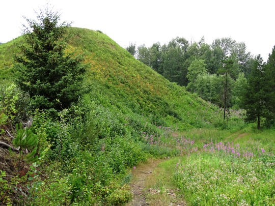

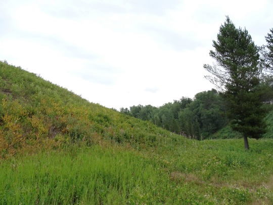

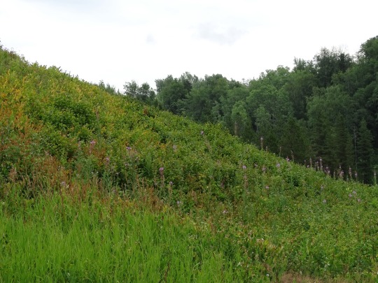

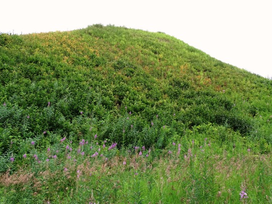

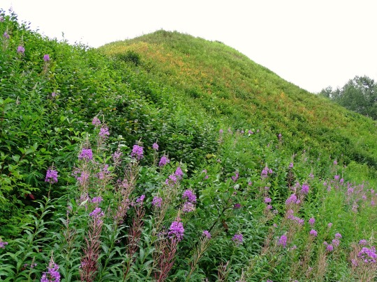

Gitwangak Battle Hill, BC (No. 4)
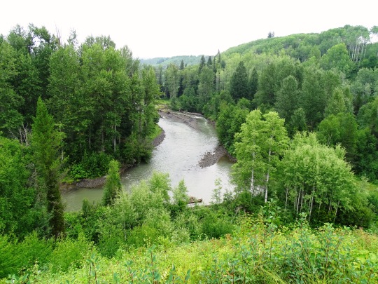
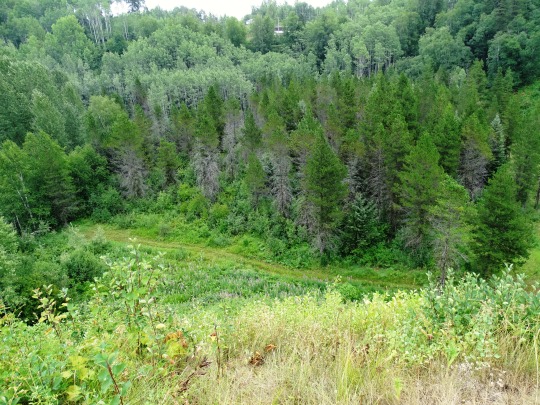
Park at the viewpoint of Gitwangak Battle Hill National Historic Site and survey the surrounding hills and Kitwanga River valley as the Gitwangak people did in the mid-1700s to early 1800s. Their fortified village once stood on a high mound next to the river and Kitwankul Grease Trail, fuelling trade in oolichan grease, a rich staple.
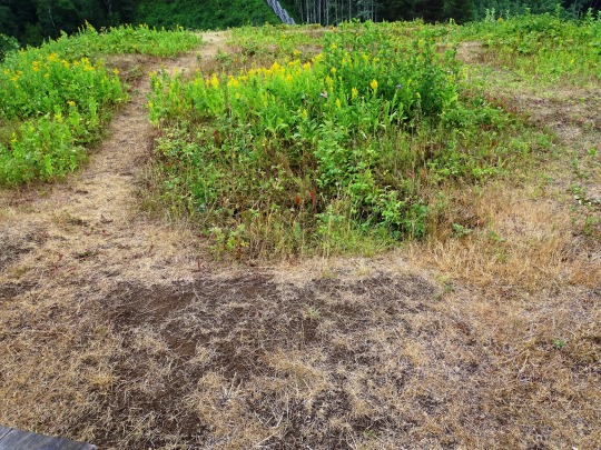
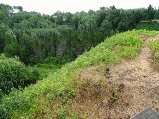
Take a short walk down a wooden staircase to the grassy mound where five cedar plank longhouses were once surrounded by a palisade, armed with massive spiked logs. Learn about the fort’s famous warrior ‘Nekt, whose exploits are legendary in the northwestern BC regions of Skeena, Kitimat and Nass.
At nearby Gitwangak Village, view a collection of age-old totem poles rich in First Nations history. Examine the totem “Man-Crushing Log”, erected in 1905, depicting stories related to Battle Hill figures and families, including ‘Nekt in fierce grizzly bear armour.
Source
#Kitwankul Trail#Gitwangak Battle Hill#National Historic Site of Canada#Kitwanga#Kitwanga River#Skeena region#West Central British Columbia#Kitwanga Fort#travel#original photography#vacation#tourist attraction#landmark#landscape#countryside#free admission#flora#woods#tree#Canadian history#First Nations#Kitwanga River Valley#Gitwangak people#Self-guiding trail#British Columbia#summer 2023#wildflower#bee#archaeology#pine cone
5 notes
·
View notes
Text


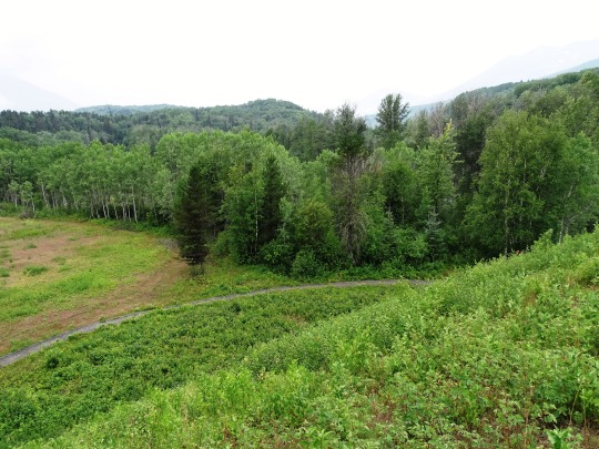

Gitwangak Battle Hill, BC (No. 2)
According to legend, Lutraisuh, daughter of a noble family, was kidnapped by a Haida war party. After bearing three sons to a blind chief, she escaped with the surviving third son. The boy, called Nekt, grew up to became a fierce warrior. He killed a grizzly bear, lined the hide with sheets of slate, and created a simple suit of armor. His people built the hilltop stronghold from which they waged war. His enemies regarded Nekt as a mythical bear that could not be killed. His war club was called Strike-Only-Once. Eventually, a shot from the first firearm in the territory killed him.
Designated a national historic site in 1971, the Gitwangak hilltop fort (Ta’awdzep) was burned and abandoned about 1835. Formerly known as Kitwanga Fort, the site was occupied from at least the mid-1700s. Palisades surrounded the hilltop stronghold, which enclosed five longhouses. No above ground structures have survived. From here, the Gitwangak people raided settlements along the Skeena River and the coast. Battles were waged to control fishing sites, protect trade routes, and enhance tribal prestige. A defensive measure was a system of logs designed to roll down upon approaching attackers. The location offered a vantage point over the adjacent Kitwankul Trail and the Kitwanga River Valley.
Source: Wikipedia
#Kitwankul Trail#Gitwangak Battle Hill#National Historic Site of Canada#Kitwanga#Kitwanga River#Skeena region#West Central British Columbia#Kitwanga Fort#travel#original photography#vacation#tourist attraction#landmark#landscape#countryside#free admission#flora#woods#tree#Canadian history#First Nations#Kitwanga River Valley#Gitwangak people#Self-guiding trail#British Columbia#summer 2023
3 notes
·
View notes
Text


Gitwangak Battle Hill, BC (No. 1)
Kitwanga or Gitwangak is in the Skeena region of west central British Columbia. Among the Hazelton and Buckley Mountain Ranges, the place is on the north shore of the Skeena River, east of the Kitwanga River confluence. On BC Highway 37, northeast of the junction with BC Highway 16, the locality is by road about 115 kilometres (71 mi) northwest of Smithers, 99 kilometres (62 mi) northeast of Terrace, and 212 kilometres (132 mi) southeast of Stewart. The Gitwangak Band Council governs the First Nations portion. Adjacent to the northeast, the freehold part is an unincorporated community.
Meaning "place of rabbits", Gitwangak was formerly called Kitwanga, with variations such as Gitwangar, Kitwangagh, or Kitwangar.
Source: Wikipedia
#Gitwangak Battle Hill#National Historic Site of Canada#Kitwanga#Kitwanga River#Skeena region#West Central British Columbia#Kitwanga Fort#travel#original photography#vacation#tourist attraction#landmark#landscape#countryside#free admission#flora#woods#tree#Canadian history#First Nations#Kitwanga River Valley#Gitwangak people#Self-guiding trail#British Columbia#summer 2023
2 notes
·
View notes
Text


Gitwangak Battle Hill, BC (No. 5)
Gitwangak elders tell the story of the fierce warrior chief, 'Nekt, who used Battle Hill as a base to make raids against Nass River and coastal peoples for food, slaves and control of lucrative trade routes.
To defend the Battle Hill's refuge of houses, 'Nekt and his warriors hoisted huge spiked logs up the palisade walls and fastened them with cedar ropes. When the war horn signaled an enemy attack, the logs were rolled down to crush the invaders.
'Nekt wore armour made of a grizzly hide with pieces of slate glued to the inside, and carried a magical club called k'i'laa, "Strike-Only-Once."
Oral history related by the late Fred Johnson, Chief Lelt, says 'Nekt was finally defeated when an arrow struck him in the back of his leg. When he fell to the ground, a Nisga'a warrior beheaded him. After 'Nekt's death, peace returned to the area. The Gitwangak people moved to Gitwangak Village, located 6 km to the south on the banks of the Skeena River. At some point the fort burned to the ground.
The totems of Gitwangak, located in this newer village, display crests relating 'Nekt's original flight from Haida Gwaii, his exploits as a warrior, and his occupation of Battle Hill.
Source
#Kitwankul Trail#Gitwangak Battle Hill#National Historic Site of Canada#Kitwanga#Kitwanga River#Skeena region#West Central British Columbia#Kitwanga Fort#travel#original photography#vacation#tourist attraction#landmark#landscape#countryside#free admission#flora#woods#tree#Canadian history#First Nations#Kitwanga River Valley#Gitwangak people#Self-guiding trail#British Columbia#summer 2023#wildflower#bee#archaeology#pine cone
0 notes
Text


Gitwangak Battle Hill, BC (No. 3)
When you arrive at the site, you'll find parking at a viewpoint overlooking Battle Hill. Three interpretive panels in the parking lot tell the story of the site and entice visitors to learn more by walking the short self-guiding trail.
Start by walking down a wooden staircase into the river valley. You'll traverse the base of the hill, stopping to read two more interpretive panels, then ascend another set of stairs leading to the top of this former hill fortress. Benches placed at the summit offer excellent views and a rest after your short exertion. The final two panels reveal more about 'Nekt and Gitwangak history. Return by the same route.
Walking the trail at a leisurely pace and reading all the panels will take about half an hour (round trip).
Please stay on the trail. Parks Canada has been trying to control loss of vegetation and resulting erosion, which has occurred because of people taking short cuts up or down the hill.
Source
#Kitwankul Trail#Gitwangak Battle Hill#National Historic Site of Canada#Kitwanga#Kitwanga River#Skeena region#West Central British Columbia#Kitwanga Fort#travel#original photography#vacation#tourist attraction#landmark#landscape#countryside#free admission#flora#woods#tree#Canadian history#First Nations#Kitwanga River Valley#Gitwangak people#Self-guiding trail#British Columbia#summer 2023#wildflower#bee#archaeology
1 note
·
View note
Text
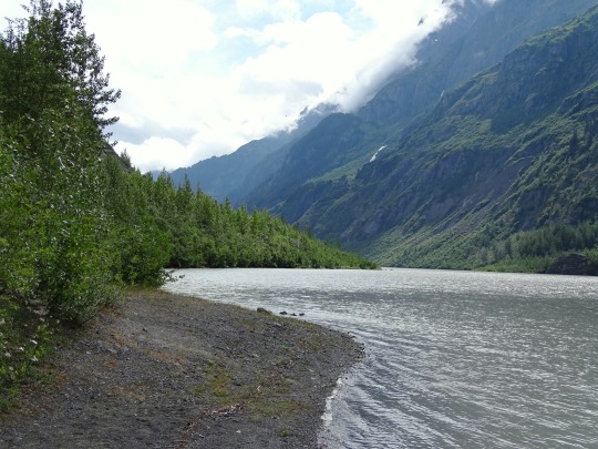
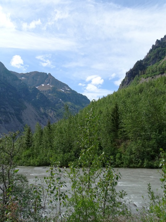
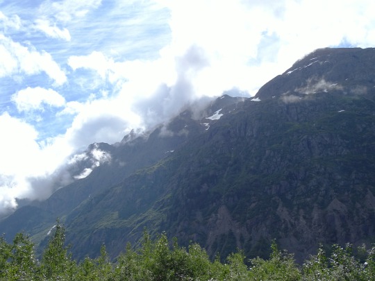
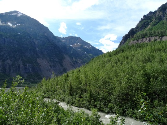
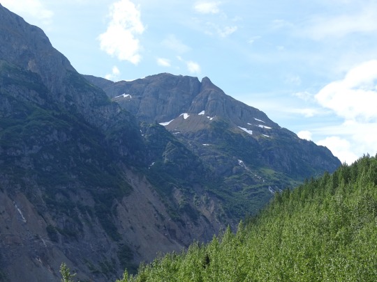
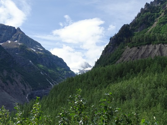
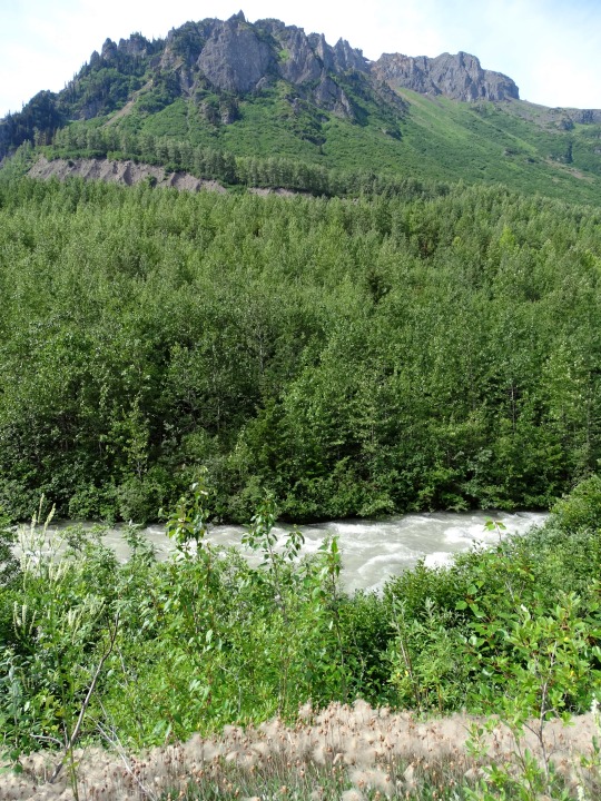
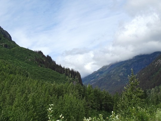
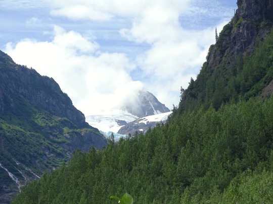
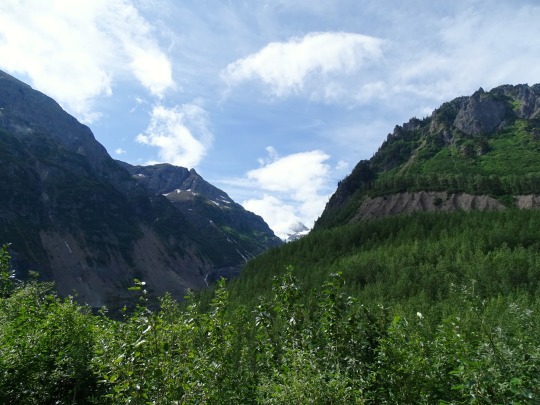
Glacier Highway, BC (No. 2)
The Stewart–Cassiar Highway, also known as the Dease Lake Highway and the Stikine Highway as well as the Thornhill–Kitimat Highway from Kitimat to Thornhill , is the northwesternmost highway in the Canadian province of British Columbia. A scenic route through some of the province's most isolated areas, the highway first gained designation as British Columbia Highway 37 in the year 1975. At that time, its southern terminus was at the community of New Hazelton on the BC Highway 16 (the Yellowhead Highway). In 1975, with the completion of a new bridge over the Kitimat River, the highway's Yellowhead junction was relocated to a point on Highway 16 just south of the site of Kitwanga. Highway 37 was then extended south to Kitimat in 1986 superseding what was then designated Highway 25. At the north end, the highway briefly stretches into the Yukon, becoming Yukon Highway 37.
Source: Wikipedia
#British Columbia Highway 37A#Stewart Highway#Glacier Highway#original photography#travel#vacation#tourist attraction#landmark#landscape#countryside#nature#Canada#summer 2023#fir#the North#cityscape#forest#woods#flora#food#Kitimat–Stikine#British Columbia#wildflower#Bear River#river bank#Stikine Highway
6 notes
·
View notes
Text


Glacier Highway, BC (No. 3)
Highway 37 starts its 874 km (543 mi) journey in the south at Kitimat. 59 km (37 mi) north, Highway 37 reaches Terrace, where it merges onto the Yellowhead Highway. The Yellowhead coincides with Highway 37 east for 91 km (57 mi) to Kitwanga Junction, where the Yellowhead diverges east.
North of the Yellowhead's Kitwanga junction, Highway 37 travels 76 km (47 mi) to Cranberry Junction, and then another 80 km (50 mi) north to Meziadin Junction, where Highway 37A begins and heads west via Bear River Pass to Stewart and Hyder, Alaska. Highway 37 travels north through the Skeena Mountains for 333 km (207 mi) to the Continental Divide communities of Eddontenajon, Iskut and Dease Lake, which straddles the Stikine and Dease River basins. Another 116 km (72 mi) north and Highway 37 reaches Jade City, where a junction to the former asbestos-mining community of Cassiar is located. North of Jade City, Highway 37 travels another 120 km (75 mi) to its crossing of the 60th parallel into the Yukon Territory, becoming Yukon Highway 37 and terminating at a junction with the Alaska Highway near Upper Liard just 3.4 km (2.1 mi) later. According to the British Columbia Ministry of Transportation, "Most of the route is hard surface (either pavement or sealcoat) with approximately 1 km (0.6 mi) of gravel."
Source: Wikipedia
#British Columbia Highway 37A#Stewart Highway#Glacier Highway#original photography#travel#vacation#tourist attraction#landmark#landscape#countryside#nature#Canada#summer 2023#fir#the North#cityscape#forest#woods#flora#food#Kitimat–Stikine#British Columbia#wildflower#Bear Glacier#Stikine Highway#Strohn Lake#Bear Glacier Provincial Park#snow#blue ice
2 notes
·
View notes
Text


Stewart Boardwalk, BC (No. 2)
Gold and silver mining dominated the early economy. Nearby Hyder, Alaska, boomed with the discovery of rich silver veins in the upper Salmon River basin in 1917 and 1918. Hyder became an access and supply point for the mines, while Stewart served as the port for Canadian mining activity, which was centred on the town of Premier, which was accessed by a 14 miles (23 km) road from Hyder. Other mines in the area were the Jumbo, BC Silver, Red Cliff, and Porter-Idaho. More large camps were south of Stewart at Anyox and Maple Bay.
West of Stewart is Hyder, Alaska, which is only 3 kilometres (2 mi) from the town. Northwest of Stewart, and accessible only by way of Hyder, is Premier, British Columbia, notable for being in Canada, but accessible only through a portion of the United States that is accessible only from Canada.
East of the town is Meziadin Junction, which is 61 kilometres (38 mi) from the town. Also east is Kitwanga, British Columbia, which is located 218 kilometres (135 mi) from the town, and Dease Lake, British Columbia, which is located 392 kilometres (244 mi) north of Stewart. It is the northernmost point on Canada's Pacific coast.
Source: Wikipedia
#Gray Horsehair Lichen#Estuary Boardwalk#travel#original photography#vacation#tourist attraction#landmark#clouds#nature#Canada#summer 2023#fir#the North#cityscape#landscape#forest#woods#flora#food#Stewart#Kitimat–Stikine#British Columbia#small town#countryside#tide flats#Stewart Boardwalk#Portland Canal#Portland Inlet#Pacific Ocean#mountains
1 note
·
View note
Text


Mehan Lake, BC (No. 1)
From Kitwanga Junction on Highway 16 to the Yukon, Highway 37 is one of only two routes from B.C. to the Yukon Territory and the State of Alaska. The total distance from the junction of Highway 16 to the Yukon border is 725 kilometres (450 miles). Along the way, there are a few small populated areas.
This scenic route travels through majestic mountains and follows alongside rivers and lakes, with plenty of safe places to pull off and enjoy the views.
When viewing wildlife please park your vehicle in a safe location and make certain you are not blocking other traffic.
Source
#Mehan Lake#Skeena Region#Skeena Country#Stewart Highway#Glacier Highway#original photography#travel#vacation#tourist attraction#landmark#landscape#countryside#nature#Canada#summer 2023#fir#the North#cityscape#forest#woods#flora#food#British Columbia#wildflower#Stikine Highway#Highway 37 Stewart-Cassiar Scenic Route#water drops#reflection#Red elderberry
1 note
·
View note
Text


Glacier Highway, BC (No. 4)
The Highway 37 of today is the result of highway extension projects began in 1959.
Originally, a roadway extended south from the Alaska Highway to serve the Cassiar mining district, eventually reaching Dease Lake and joining a road to Telegraph Creek (sometimes referred to as Highway 51, but not signed as such). To the south, logging roads extended north almost as far as Meziadin Junction.
By 1968, the route of what is now 37A extended past Meziadin Junction north. This was done to allow for asbestos from Cassiar to be shipped to market via sea from Stewart. By the middle of 1972, only a few miles remained to be built between Meziadin Junction and Iskut. Four bicyclists, whose journey from Alaska to Montana was chronicled in a May 1973 National Geographic article, braved the muddy gap.
Once this route was completed, travelers only had to contend with limited hours for using the logging roads south of Meziadin Junction, roads which were upgraded during the 1970s. The completion of a new bridge over the Skeena River at Kitwanga in Mid-November 1975 gave better access to the Yellowhead Highway. Work continued through the mid-to-late 70s to upgrade the stretch of highway.
The Highway 37 corridor is slated for infrastructure enhancements as resource extraction activities increase in the Northwest region of British Columbia.
Source: Wikipedia
#British Columbia Highway 37A#Stewart Highway#Glacier Highway#original photography#travel#vacation#tourist attraction#landmark#landscape#countryside#nature#Canada#summer 2023#fir#the North#cityscape#forest#woods#flora#food#Kitimat–Stikine#British Columbia#wildflower#Bear Glacier#Stikine Highway#Strohn Lake#Bear Glacier Provincial Park#snow#blue ice
0 notes
Photo

Dance 💃 in your seats and relive the sounds of the ‘50s & ‘60s on a Saturday night! RELIVE THE MUSIC ‘50s & ‘60s ROCK N ROLL SHOW will rock Terrace, BC on Saturday, March 21st at REM Lee Theatre. 💃🕺🎶😊❤️ https://www.brownpapertickets.com/event/4426206 Tickets can be purchased online by clicking the link above or by phone 24/7 at 1-800-838-3006 through Brown Paper Tickets. Tickets are also available locally in Terrace at Misty River Books Store. Featured Performers. Our Dancing Couple, Rick & Makai Genovese. 💃🕺 #excitement #dancers #singers #bigstage #REMLee #relivethemusic #rocknroll #danceparty #musictrivia #terracebc #kitwanga #newaiyansh #greenville #britishcolumbia #nostalgia #memorylane #adancerslife #peace #love #funtime (at REM Lee Theatre) https://www.instagram.com/p/B9by2kSBeHR/?igshid=it3rt7huqvwp
#excitement#dancers#singers#bigstage#remlee#relivethemusic#rocknroll#danceparty#musictrivia#terracebc#kitwanga#newaiyansh#greenville#britishcolumbia#nostalgia#memorylane#adancerslife#peace#love#funtime
0 notes