Text
Season 2: We Should Have Brought Waders
The winter months have been long and cold, but at long last, WE RETURN. WE’RE BACK AND WE’RE BASIC, BETCHES.

Although we contemplated tackling Mansfield, we decided going back to our roots with #turntrock would be a better way to start the season. (Let it be known, we did NOT get turnt this time... but never fear, there are still two more months of our hiking season.)
Emma dubbed July “Dangerous Adventure Month”, also known as DAM, and kicked it off by falling at least four times. While we’ve chosen not to include pictures of her numerous bruises, please know that they are, indeed, present and accounted for.

The day started off on a rather damp note; the river was too DAM (we’re milking this for all it’s worth) high to ford sans waders, so we were forced to deboot fewer than 20 feet past the trailhead. Erin was not surprised, as it’d been raining in Vermont since she returned from her shiny city life. Emma was too busy hiding in foreign countries to have a handle on the recent weather situation. NEVERTHELESS THEY PERSISTED.

#didyoureallyfordthestreamifyoudidntvideoeverysecondofitalsowhyisthishashtagsoDAMlong

Here we are about halfway up the trail, soon after we realized that neither of us were as in shape as we were this time last year. Erin trudged on in silence, Emma raised her voice to the heavens. (Also her middle finger. Sorry kids.) It also should be noted that Erin was hiking in some VERY basic Nike (spons pls) running shoes, because she couldn’t fit her hiking boots in her suitcase when she moved back from NYC. (And yes, she did use them while she was in the city.)
Eventually we reached the junction with the Long Trail, and we knew at last that we were home.


And then, friends, it was time for breakfast.
A year may have passed, but the scramble stayed the same. (So did Emma’s trash talk. As it turns out, the scramble did, indeed, have a lot of fun being married to SATAN.)

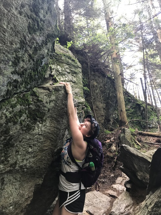
Soon enough, we reached the infamous Yas Crevasse. We offered our yasses unto the forest, and then took 500 selfies.

In case y’all didn’t know, Erin’s rap album’s gonna drop in 2018. This is the cover.

Emma, on the other hand, deep-conditioned her hair last night and is super proud of it. Look at dem curls. #yas
As we approached the summit, we realized that we’d never ACTUALLY been all the way to the top of the mountain. So today, folks, we went all the way. OMG, can you believe it?!
No?
Fine, we have pics:


While we didn’t crack open a cold one with the boys at the summit, we were rewarded with PB&Js and the #views.

Erin, ever the good samaritan, wanted to give back with a view of her own!

You’re welcome, Vermont. #bralessandflawless
Aside from gallons and gallons of mud we had to hike through, the descent was fairly uneventful. Although we did come across a couple who definitely have their own blog, most likely called something along the lines of “Sexy Hikes.” Truly, the amount of makeup and hair product present (along with... a crop top?! Are you actually Taylor Swift?! I don’t think so) was so alarming we had to try not to let slip an outburst something along the lines of “enjoy the hour of straight-up torture!” Though difficult, we managed to keep our mouths shut. This time.
And there you have it. Basic Hikes is back.

And you’ll be seeing a lot more of us. (Help, we’re unemployed.)
Stay Sweaty,
E&E
#bralessandflawless#turnt#sexyvolvo#burntrock#sexyhikes#waders#slugs#crevasse#yas#yas qween#slay#scramble#breakfast
0 notes
Text
Chapter 9: Red-in-the-face Mountain
Not our best pun work, we know.
We went to Whiteface Mountain on Saturday, and no, not the actual Whiteface in the HP region of the Adirondacks, but one of the mountains next to Smuggler’s Notch.
It was an overcast morning, but not without excitement. Whenever Erin drives, there is always much excitement. We accidentally stopped at the wrong place in Stowe. We thought it was a convenience store, but it turned out to be a grocery store, and they didn’t have any coffee, but we felt too awkward to leave without buying something, so we got some Kind bars, to branch out from our usual Clif energy bars. Erin’s parking job was embarrassingly memorable:

#notsexyvolvo
Later, we did stop at a convenience store/gas station. Let it be known that, even with the gas light JUST about to come on, ERIN STILL DID NOT GET GAS. It was still a half hour to Morrisville, where the trail is, and literally as soon as we left the gas station, both of us started freaking out. The gas light came on just as we got to the middle of nowhere, and we actually spent most of the hike wondering if we would ever make it back to civilization (yes, obviously we did, or we would not be writing this).
EXCITING NEWS: WE GOT TO THE TRAIL WITHOUT A GPS! We used a REAL MAP (on an iPhone, but still a real map), and our new hiking book. Turns out it’s not that hard to get places when you read the directions.
The Beaver Meadows Trail (omg srsly, VT?) is on Mud City Road (Mud City, B*tch, Mud Mud City B*tch). It was muddy indeed. We took a detour from being basic on this hike, in fact, by not even saying “YAAS” that much, plus Erin not only hiked with her coffee this time, but ALSO WITH A BEANIE. So FOR TODAY ONLY, we will consider ourselves Hipster Hikes. We have to go back to Basic one of these days, because Andrew Barnaby is writing us a theme song. He realized that “Basic hikes for basic bitches” perfectly scans to “Empty chairs at empty tables,” so be on the lookout for our high-production-value music video, debuting soon.

The Beaver Meadow Trail is extremely kind to out-of-shape hikers. Of course, we have a topographical map now, and we realized that at some point, we were going to have to start climbing steeply. At one point, Erin was heard to say “I don’t think we’ve gone uphill at all! At this rate, we’ll never make it to the top.”
We found a shelter and latrine just as we reached the Long Trail, but luckily no bearded men listened in on our conversations this time.

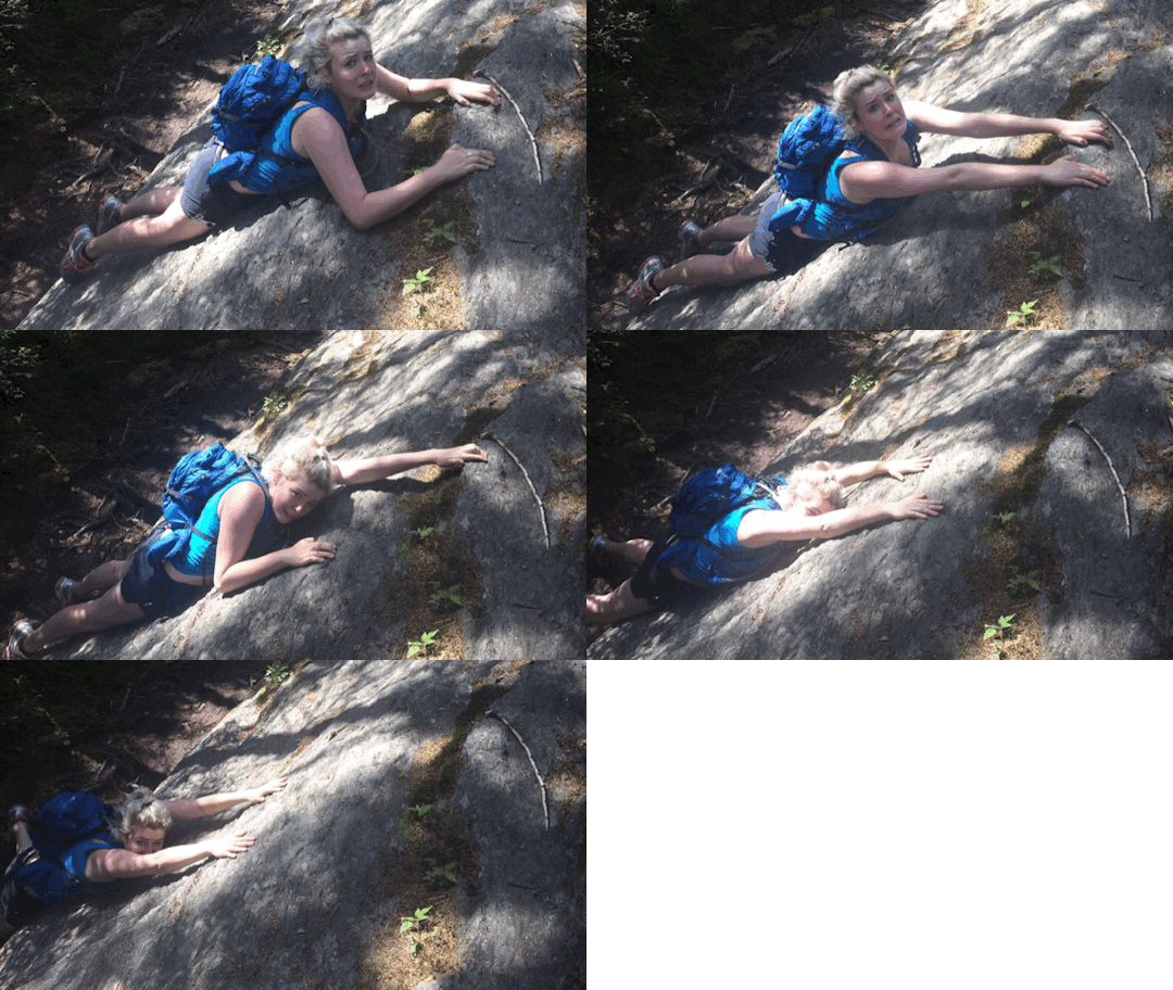
But then, OH MY GOD. STRAIGHT UP. 90 DEGREES UP. SCRAMBLE.
Okay, more like 75 degree incline. But hello, that’s not exactly easy.

Don’t be fooled by the smile. Internal screams of pain and anguish.
It was difficult for a long time. That last mile seemed to stretch on for YEARS. But, eventually, we were greeted by the non-view that the top provided! We had to hold our phones up super high to get these pics, and you can still see the trees blocking the view.


#basic
Pics of us with the “view”:


We settled down to our second bagel of the day and Cheez-Its. And Kind bars! We have decided to produce a video called “Bars at the Bar.” It will entail alcohol and sampling different types of energy bars. We’re currently taking a break from Clif bars (as we’re starting to find them revolting). Just think of it as speed dating, but for food. The best kind of dating!
It was very #autumnal on this lovely overcast October Saturday:


And because autumn is also known as Fall, Erin celebrated the beginning of the most basic season of all by falling. Multiple times.
Also, as we needed to celebrate the Great Feast of the Birth of Ultimate Supreme Goddess of the World (Julie Andrews), here is this nice pic of Emma in her natural habitat:

#yassss, Julie, #YAAAAASSSSSSS #QUEEN
We of course celebrated by singing a Julie Andrews medley. While we were singing “A Spoonful of Sugar,” we may or may not have passed a very large group of miserable-looking boy scouts. Sorry, boys. You know you secretly liked it.
We made back and passed many hipsters at the upper lot (which we did not park at, as to save as much gas as possible). SPEAKING OF WHICH, the gas situation was now at the forefront of our minds. Coasting most of the way to Morrisville, we were thrilled to return to phone service to find that there was a gas station just down the road, and we made it in the NICK OF TIME!
Lesson learned: Erin, fill your damn tank when you get gas. Love and kisses, Emma.
Thus concluded our last basic hike at the end of our most hardcore week (three times in eight days!!!)
We’re not feeling basic enough to make any more dumb jokes. Please pray for us at the basic shrine (Starbucks) for more PSL-filled adventures.
E&E
Coming soon: Basic Hunts for Basic Bitches
(wow just kidding, please nobody trust us with guns ever)
0 notes
Text
Chapter 8: Double feature: Tell-more Mountain & Mt. Ethan-We-Can’t-Think-of-a-pun-Allen
We’re BAAAAACK!!!!!
After another extended hiatus (thank you, fall colds!) we are back and more basic than ever...now with Synchilla fleeces! (Srsly Patagonia, please sponsor us!!!)
On Saturday, we embarked on what cannot be classified as more than a vaguely uphill nature walk. Elmore Mountain (aka Tell-More Mountain, because it’s so easy you can talk the whole way up) is beautiful, but not strenuous. To give you an idea of just how easy it is, picture Erin actually drinking a Dunkin’ Donuts coffee WHILE HIKING. Because caffeine is a necessity and she had left all dignity at home.
Just kidding, you don’t have to picture it, because we’ve done that for you:

Not much happened on the way up, except that we admired how nice and cool it was (and then it got warm, prompting us to take off our fleeces five minutes into the hike). This hike, if you've got your ticket for the long way ‘round (the one with the prettiest views! s/o to the most basic song ever), is 2.3 miles to the fire tower.
There’s a lookout before you get to the fire tower, and we were lucky enough to get there before the sun had burnt off the morning fog, providing us with that sense of being extremely high up, without all the effort!

The elevation is 2,608′, so not even close to as strenuous as a regular VT day hike (hey, we haven’t been hiking in a month, forgive us!), but for such a low peak, it did have a spectacular view, thanks to the rickety fire tower found at the top.

The fire tower was terrifying. But of course, we had to climb up for the #views. Neither of us dropped our iPhone, even though we had to stick our hands out of the windows to get that #perfectgram, which was a #blessing. #livingforthelikes. Yes, we’ve lately been having a problem with hashtags.


We took the short way back, since we wanted to make it a loop (aka we were feeling lazy). The trail is 1.7 miles long. We found an abandoned building:

and a balancing rock!

Also, we have recently discovered iOS 10′s “live photo” feature, and we are happy to report that it makes creating gifs a LOT easier!
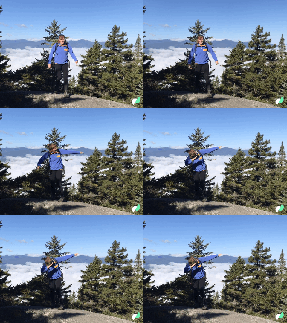
Aaaaand Emma pretended to be Pocahontas. Here is a nice pic of her singing “Colors of the Wind”

After the hike, we drove through Stowe for some more basic adventures. Erin’s fabulous brother once described Stowe as “what flatlanders think ‘country living’ is.” Stowe is kitchy af, and there were already leaf peepers aplenty. We headed back to Waterbury (Erin’s hometown #fame) for cider donuts, but were thrown off track (literally) by an actual tractor taking up the entire road:

Then, we ate cider donuts at Cold Hollow, to remind ourselves of how fall is literally the biggest blessing of basic life. Because, as Emma so eloquently put it on the drive through Stowe, “Basic is the season of fall.” Oops.

THEN ON TUESDAY...we got a late start (for us), but we still had our bagels, and also our #basichikes intern, Ivy! So #blessed to have another Synchilla-wearing basic friend. We got super lost thanks to google maps, and it took like 90 minutes to get to the other side of Camel’s Hump, which is where we started the Mt. Ethan Allen hike from. It’s kind of like the younger sibling of Camel’s Hump. Far less-travelled path, too, which was another blessing. Because we hate people.

There are some signs that warn of bears. It is terrifying, but also hilarious:

To get to the summit of Mt. Ethan Allen, take the Forest City trail (a Camel’s Hump trail), from either its start (lower parking lot) or from the Burrows trailhead (there’s a Forest City connector trail, and you knock off 0.8 miles each way). Take Forest City to the Long Trail, where the blazes turn from blue to white, and take the LT SOUTH (turn right) to the summit. You will pass a super fun cabin, with a super fun latrine that you can’t urinate in (beware of bearded hipsters near cabins on LT, they may be eavesdropping on your intensely personal anecdotes, and you will have to run up the trail screaming quietly to yourselves, as we may have found out from personal experience).
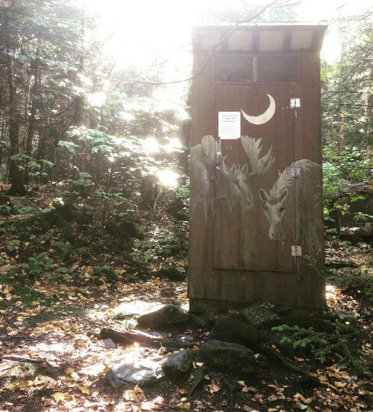
NO-WHIZ ZONE!!! #solidwasteonly
The summit is about a mile uphill from the cabin/latrine area. But beware: it is one STRENUOUS mile. We were not prepared. But it did smell like Christmas, which we appreciated.
The top (at least, the north peak) is rather underwhelming. The trees have been cleared, however, to provide #views, and a small area to eat your almond butter and jelly sandwiches, and, if you’re Emma, Cheetos:


Also, Erin found her missing contouring palette from Sephora (yes, in her Camelbak) which, while a pleasant surprise, did not prove to be extremely useful at the summit.
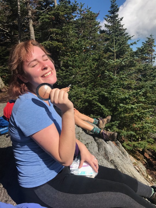
Here is the requisite #summitselfie:

#patagucci
On the way down (well, and on the way up) we saw a creepy furnace. Haunted? Probably. We didn’t stick around to find out.

Note the autumnal vibe of this photo: the leaves are falling, and the peepers are coming. Send help.
Final Thoughts:
-If you like summer hiking, we can promise you that fall hiking is 300 million times more enjoyable
-The temps may be droppin, but we ain’t stoppin #stopusplease
-Make sure you know where you’re going, because you WILL lose service in the middle of the Mad River Valley and it’s the worst
-What is up with road work on DIRT ROADS???
-Bagels. Just bagels.
Enjoy a selfie of us in our purest form:

Love, E&E #staybasic
P.S. Here’s a photo of Erin’s cat Bean that “accidentally” got into our hiking file:

1 note
·
View note
Text
Chapter 7: Toto, I don’t think we’re in Kansas anymore...
Except obviously, Toto is ‘mom’ and Kansas is ‘Vermont.’
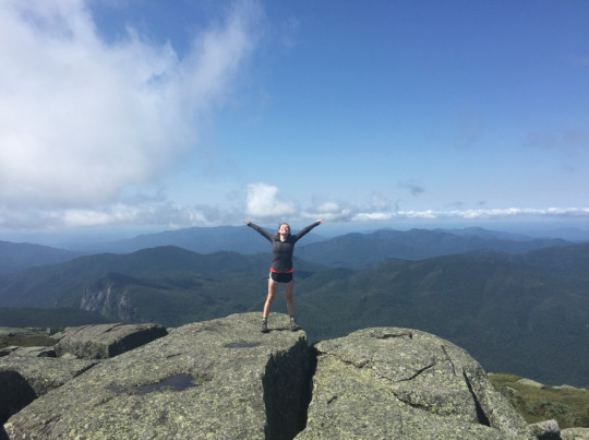
Today, we made our first pilgrimage to the High Peaks of the Adirondacks! We summited Algonquin Peak, which stands at 5,115 feet...much higher than any of our trusty Green Mountains on this side of the lake.
Guess who slept their alarm and missed the ferry? We did. TO BE FAIR, we were supposed to get up at 5 (who does that??) and we did make the 7 am ferry. After lining up, we settled in for a long haul. Erin admired the 50-cent piece she was given as change, while gleefully pretending it was a pirate’s eye patch. Emma ate Cheetos at 6:20 am.

True love, and the cornerstone of a nutritious breakfast.
On the ferry, we got out of the car, even though it was raining, because Erin wanted to feel the wind beneath her wings.

Don’t mind the fact that there is NO WIND in this photo.
Lake Placid, home to the 1980 Winter Olympics, was very bougie and had terrible bagels. We won’t name any names, but don’t go to any place that rhymes with Shmolshmine Shmagels.
Several trails in the High Peaks region start from the HP Information Center, which is several miles down Adirondack Loj Road. We made fun of “Loj” a lot, and then it reminded us of Doge. Which reminded us of Emma’s dad not knowing what Doge was and starting to talk about the Borgias when it was brought up. We have decided to make some memes of Doge in High Renaissance costumes for his viewing pleasure. Watch out, Andrew Barnaby.
The trails mostly start from the junction a mile away from the info center, which can be found by going all the way to the end of Parking Lot 1 and following that trail. Make sure to check in! They apparently lose people sometimes because hiking is dangerous???

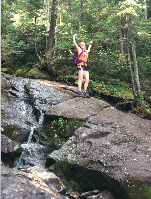
The Algonquin trail was pretty exciting. It’s 3.6 miles from the junction to the summit, and it took about two and a half hours. There were lots of rocks and waterfalls, and then at the top there was a lot of scramble. Like, a borderline dangerous amount of scramble. Don’t hike this one if you don’t like breakfast.
Here are some choice photos from the trail:

Eventually, we were reminded of our basicness and had to sit down to rest. We blamed it on the elevation, which honestly was not any higher than Mansfield at that point in the hike, but it provided an opportunity for more super fun pics!

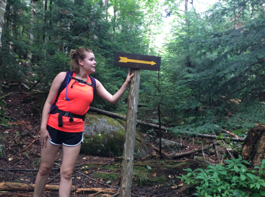
Erin took some advice from Kasey Musgraves, and followed her arrow.
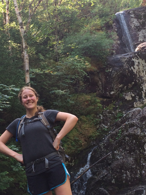
At this point in blogging, we are starting to realize that to any reader who’s not one of our moms (hi, moms), this is probably extremely boring. We thought we’d give you a more in-depth look at what a hike with Erin and Emma entails.
Picture the following: two girls, beet-red and LITERALLY dripping with sweat, screaming profanities, passages of hymns, and the occasional “HEAVENS!” in an old-lady Southern accent from one of us (we aren’t telling you who). Other antics include changing the lyrics to all the songs from Jesus camp into elegies about pizza (which we are eating right now) and/or butts and the occasional extended rant about how much we hate men. Also, playing our favorite game: “friends or lesbians?” which we don’t feel is as offensive as it has the potential to be, as we are 100% sure everyone plays the same game when they see us. But we digress.
The summit. KEPT. MOVING. Seriously, we’d get to the top of some intense scramble, assuming we had finally made it, only to discover that the “summit” was ACTUALLY another couple of hundred yards in the distance. We won’t say how many times this happened, because it is extremely embarrassing.
But, eventually, against all odds, we reached the top!
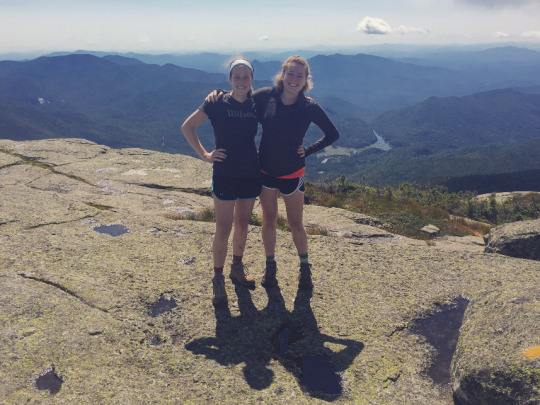
We ate a lot of junk food (because the bagels were so terrible), which Emma had #feelings about:
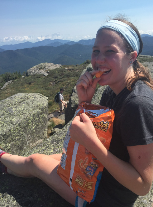
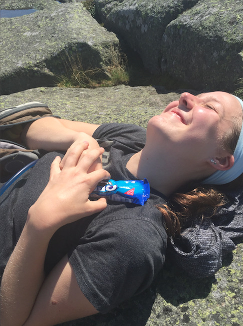
This is the part of the blog post were we bring you our Most Basic Moment™ of the day...
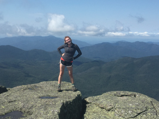
Booty poppin’ on Algonquin.
Here are the outtakes of our MBM:
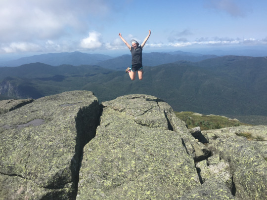

(Erin just learned how to dab and WON’T STOP DOING IT #cantstopwontstop)
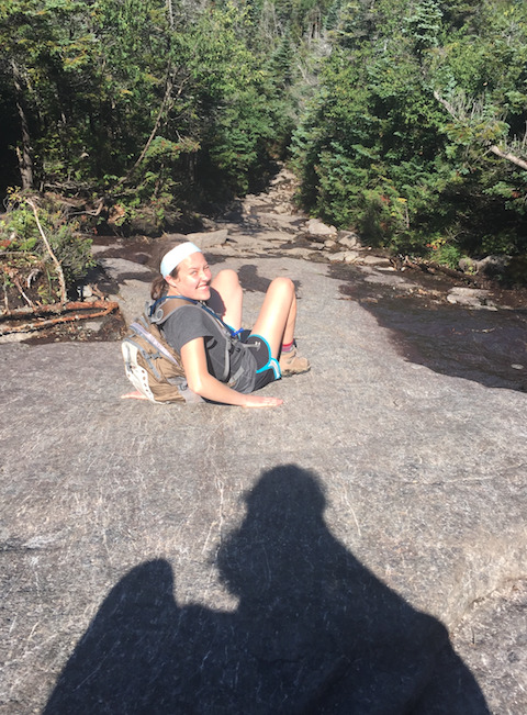
The descent was treacherous. We realized that we had to make a choice: either crab-walk down or risk breaking at least fifteen bones each. We chose the former.
And then, yep, you guessed it, WE GOT LOST!!!
TECHnically, this was not our fault, as the proper trail was not correctly marked, and Emma did have a few stern words with the park ranger about this (spoiler: we made it out alive). After realizing that it was far muddier than we had remembered and we hadn’t seen any trail markers in...at least a quarter of an hour, we turned back and found the correct route a few minutes later.
OH MY GOD. IF YOU ARE IN CHARGE OF A HIKING ESTABLISHMENT, PLEASE MARK YOUR TRAILS BECAUSE WE LEGIT ALMOST HAD A HEART ATTACK. THANK YOU FOR YOUR TIME.
People-watching highlights included a VERY dysfunctional family, an enormous group of people at the summit who asked for a photo (and someone accidentally embarrassed herself by addressing them extremely loudly in a Southern accent), and SO MANY CUTE DOGS!!!
Luckily, we eventually returned and MADE THE FERRY ON TIME! This was miraculous and *almost* made up for this morning’s debacle.
Here are some final shots of the day:
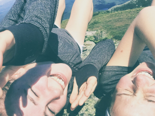
^how we feel about basically everything

And, finally, a panorama. In front there? We might check that out in a couple of weeks.
QUEENS, SLAY.
E&E
1 note
·
View note
Text
Chapter 6: Double Feature; Sunrise Hell & Gap2Gap
Let’s start off with an apology for the extended hiatus. These hikes happened four weeks ago.
So, one fine Thursday evening, Erin decided, hey, we should go on a SUNRISE hike tomorrow morning! And of course, Emma was like of COURSE we should go on a sunrise hike! What a stellar idea!!!!!!!!
Spoiler: it was not a stellar idea. Unless you take “stellar” to mean “we could see the stars when we left.”
We casually arose in the middle of the most disgustingly humid night of the summer. It was 3:00 am. We had our doubts, but #turnt rock called us home like the Reverend Mother in the Sound of Music.
This is what we looked like when we got to the trailhead:

You know what sucks? Headlamps. Here is list of reasons headlamps suck:
1. The sweat factor 2. Moths 3. Eerie glow that makes you fear for your life at every turn in trail. Hey, there could be a bear anywhere. 4. They are heavy af
We were extremely scared of finding a bear. So we sang the bear song (you know, the one everyone sings at Jesus camp) to ward them away. Also, this was the only car we saw in the parking lot. It had spoilers on it and was from New Hampshire. We still aren’t sure what to make of it.

Tip: eat more than a Clif bar if you are going on a hike. No matter what time it is. Seriously. NEVER AGAIN WILL WE UNDERESTIMATE THE HEALING POWER OF BAGELS. Oh my god BAGELS.
We were literally miserable the entire way up because of lack of nutrients, humidity, the cloud of moths, and our fear of imminent death (hey, there are a lot of wild bears in VT!)
The story picks up when we got to the top. It was still pretty dark, and to add insult to injury it was CLOUDY.

It was still beautiful, but we were kind of mad and cold and really sweaty. Here we are being sassy:

So we did not appreciate it very much. But then, all of a sudden.....

It was worth it.
And, as always, we took lots of photos. Here are many:


#diditforthegram #basic
For the record, we did not get #turnt. Unless eating chocolate-covered espresso beans counts?
The way down was more enjoyable. Lesson learned: hiking in the daylight is always preferable. We sure do feel hardcore after this, though.
GIF of the day: on the way back, we happened to see this glorious (and terrifying) sight. We felt it encapsulated the spirit of the 4 am ascent.
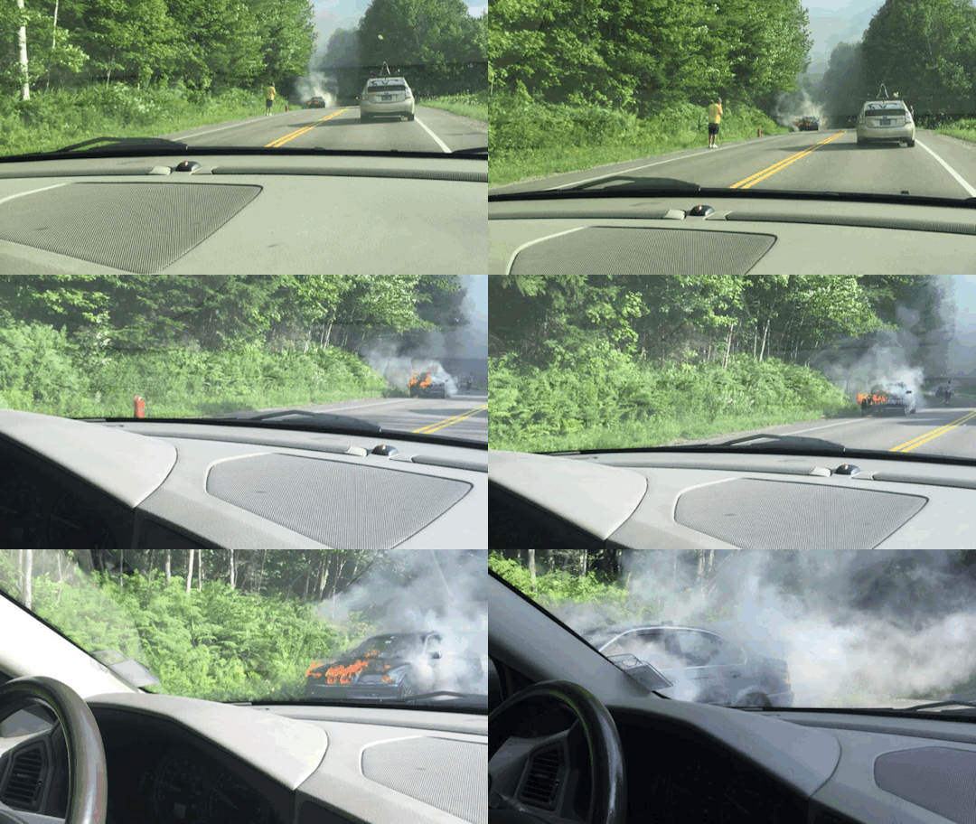
PART 2: Lincoln Gap to Appalachian Gap
We allowed ourselves 48 hours of recovery before attempting the 12-mile behemoth of a hike that is known as the Skyline of the Long Trail. This trail summits Mt. Abraham, Lincoln Peak, Mt. Ellen, AND General Stark Mountain. And requires 2 cars. S/o to Erin’s chill mom for driving us on her way to church!! #JOAN U DA REAL HERO. She regaled us with ridiculous stories on the way about learning to drive standard and it was the best (bagel-filled) morning ever.
We were kind of worried after our sunrise hike that going up Mt. Abe, which is like, 1,000 feet higher than #turnt rock, would really suck. But, thanks to the bagels, the other real heroes of the day, it didn’t suck at all! We met some chill Irish dudes at the top. One of them saved Emma’s Guinness cap and then they took a photo of us:

Here is a selfie of us at the summit of Abe, which more accurately represents how we felt (though the above pic definitely makes us look sporty af, s/o to Lululemon for making these sick jackets)

We then began the skyline trail (part of the LT), which was not difficult and provided us with lots of material for #basic photos, including these not so basic photos where we just look like thugs:


We basically ruled the mountain.
Soon enough, we found ourselves at the summit of Mt. Ellen, where we lost the trail for a little bit (don’t worry, we found it), and took the opportunity to take some more selfies. Here is a particularly spectacular series of a bug flying into our frame:


Here is a gram-worthy bw selfie that we enjoy very much:

#somuchbetter
There were many chairlifts on the skyline trail. We went through two of the peaks at Sugarbush AND Mad River Glen. There were at least four. Erin squatted at all of them. At the summit of Ellen, the trees happened to be scarce, but when a girl has to go, she has to go. Thinking she was alone, with the beautiful vista to the front and sparsely-wooded forest to the back, Erin dared to squat and when she looked up, some dude in the chairlift operation booth happened to be dreamily staring DIRECTLY at her. How much he saw has been left undetermined, but Erin quickly re-clothed herself and crashed through the woods yelling, with such velocity, that Emma feared that they had five seconds to live because a vicious bear was about to attack!
This was seriously nuts, guys. We had to pass him later. We don’t think he recognized us, but #JOAN made an inappropriate comment about it later. It was so raunchy that we cannot bring ourselves to recount it, but she may have insinuated that Erin could have have better been recognized had she lost certain articles of clothing.
Things that happened later: Emma fell and barrel rolled and still has a gash on her leg, we lost the trail a few times, and we came upon a true gem known as Dean’s Cave. We don’t know who Dean is, but we had a nice time making up other (unsavoury) names for the cave. We invite you to imagine for yourselves any number of inappropriate things we might have called it.


Alas, the crevasse did not lead far, and we had to turn back to the LT.
The last hour was legit awful. We were so tired. So tired that we weren’t even excited about the ladders! (I know, you’re all thinking: HOW COULD THEY????)
Anyhoo, enjoy the other nice photos we took:


Finally, after seven VERY long hours, we arrived at the car. This is how exhausted we were:

We rewarded ourselves with some weird ice cream in Waitsfield. Emma’s salted caramel had a texture that was vaguely reminiscent of glue. We put our feet in the water and laughed at a bunch of tourists (who were all too chicken to jump off a tiny ass bridge), and felt really glad that this hike was over.
Maybe, if you timed it right, you could be smart and reward yourself with dinner at the Waitsfield American Flatbread after this hike!
As the hike is quite long, squatting will probably be inevitable. Protip: don’t squat at the top of any mountain.
Tinder rating: just no.
Hiking from Lincoln was fine, as the trail was all downhill from Abe, but we might also recommend hiking it from the Appalachian gap, as Abe is the most stupendous of the views, and you would get it at the end as a nice reward this way.
Stay fresh, queens.
E&E
#YAAAAAAASSSSSS
0 notes
Text
Chapter 5: Stairling Pond
Alternate name: Butt Pond, since it’s all stairs and you get a great butt workout!
Sterling Pond is the most basic hike in the state. Seriously, so many people hike this trail every day. Also, we went back to our basic roots and didn’t start until ten-thirty, when Erin walked into Emma’s house without Emma noticing and almost caused a heart attack. But we laughed about it later.
We got brunch bagels and headed to Jeffersonville. Sterling Mountain is a ski mountain at Smuggler’s Notch, and since the notch road (we think that’s what it’s called) was open (since it’s summer), we drove through Underhill and Jericho. After last weekend, we are getting to be pros at Underhill and Jericho. Just kidding, they are very difficult to figure out. But on our way through Underhill, we saw a HORSE. Being ridden on the ROAD. Here is proof #Vermont

We finally made it to Smuggs, and in case you were wondering, the trail to Sterling Pond is PAST the parking lot, up the notch about another mile. We were very glad that we realized this and didn’t have to walk all the way to the trailhead.
There were some very nice bathrooms. We recommend stopping here before you begin the ascent, because there are always a lot of people on the trail...
Here is the trail. Check out what we scaled:

LOL just kidding.
The trail starts off with a very long staircase. Hence its name, Stairling Pond

We got really sweaty but it was not too hard.
After a while, we heard something familiar in the distance through the trees. We looked at each other in a moment of clairvoyance: MILEY. Indeed, about twenty incoming Champlain College freshman came barreling down the trail, somebody’s backpack equipped with a speaker BLARING “Party in the USA.” What could we do? Of course we sang along! Erin even danced. We feel good that these people, many of whom were probably having their first experience hiking in Vermont, met two such kindred spirits on this hike. Erin also didn’t fail to point out that she was wearing a Miley hairstyle (c. 2013, with the two buns).
(Side note: we are currently listening to “The Climb” as we blog. We feel good about this, too.)
The trail, after the stairs, is steep, but not as steep as people said it would be. We weren’t working too hard that we couldn’t make stupid jokes the whole way up, and the hike took less than an hour.
We reached the pond and were a little unimpressed with the view, though it was pretty serene.

We took many selfies. Here are two.

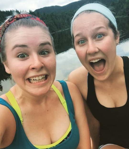
Here is Erin in the Most Basic Moment™ of the day: trying to get service to post her Instagram photo

Then we took the trail around the pond, which took another hour and a bit, since we kept getting lost. We did get a view eventually, though, at the top of Sterling Mountain where the chairlift dumps skiers. (Emma skis here frequently and was very excited to see what it looked like in the summer.)


The loop was really sheltered and deserted. We don’t enjoy sharing the trail with other humans or dogs particularly, so this was a pleasant change. There was a nice lookout over the pond at one point, and a very redneck-looking fisherman stood nearby in his waders. We realize in hindsight that we should have taken a photo because it was so #Vermont. But here is Erin looking basic instead.

She’s meditating/not ready for the photo.
There was finally some scramble in this loop!

This looks more intense than it actually was, FYI.
Here’s another picturesque view. We promise that on our next hike, we will bring a proper camera.

Today’s hike was pretty standard and kind of boring after our super hard core outing last weekend. We talked about life and grad school and stuff and didn’t even complain. We did scream “DEET” about every five minutes. Is Deet bad for you? Probably. Do we care? No, because we hate mosquitos a lot.
But the day was not over! In fact, it was just getting started. We got serendipitous ear piercings after the hike because we felt that we hadn’t done anything crazy enough for the day. We realize that if we keep doing things like this it will become self-destructive, so it is clearly important to find more extremely intense hikes. Clearly, becoming 46ers is in our future. (Becoming a 46er means hiking all 46 peaks in the Adirondacks.)

Then, after stuffing tacos into our face, we went to Outdoor Gear Exchange (a very hardcore outdoor store) to get some hiking books, so we could get on with planning some more intense hikes. Erin wanted some cool sunglasses, but then realized they made her look exactly like her dad. So maybe not.

They did make her feel as though she were in the Matrix though, so that was fun. (She would take the red pill, obviously.)
Well, it’s been a day, folks. We’re going to kick back with some Chinese takout and “Subourbons,” which is what we call a new drink we just invented: bourbon, lime juice, seltzer, and frozen raspberries (to add to the basic vibe). We feel like soccer moms, and it’s time to sign off.

Enjoy our song of the day:
youtube
(We followed a lot of arrows on the road and unabashedly sang along to this song a good five times on the way home.)
YAAAAAAAAAAASSSS QUEEEEEEENS,
E&E

0 notes
Text
Chapter 4: Mt. I-Can’t-Feel-My-Hands-field
At 4,393 feet, Mt. Mansfield is often known colloquially as “I wet my pants-field.” It was a seven hour, 14-mile hike, and our previous adventures did NOT prepare us for the onslaught that was Vermont’s highest peak.
We also brought Tara and Anne, aka Emma’s entourage, with us. We knew they’d be up to the challenge (everyone from Vermont is hardcore, let’s be real). We began the festivities by having a carbfest and sleepover, where we watched Hot Rod to inspire our trash talking. If you haven’t seen Hot Rod, it is the most underrated movie of ALL TIME, especially if you have the humour of a 14-year-old boy. Here is a fun clip to illustrate just how stupid it is:
youtube
Enjoy.
Then, we got up at six and dragged ourselves to the Burlington Bagel Bakery. It was actually much colder than expected, so we thought, hey, maybe we should bring light sweatshirts? These might come in handy later.
We got lost on the way to Underhill (yes, we’re pretty sure it’s called Underhill because Mt. Mansfield just towers right over it) and had to turn around. Of course, Google Maps led us to an abandoned boarding school complex, where we had to turn around because the exit was closed. There was a scary Escalade parked there with a dude sitting in it, probably waiting to shoot us because let’s be real, America. (It did say “Trespassers Will Be Prosecuted,” but we’re pretty sure Emma’s Volvo is bulletproof. But Tara ducked just in case.) But we also saw a bunny, so, yeah, worth it.
Upon arriving at the state park, we were ELATED to find REAL BATHROOMS at the trailhead! We have decided to dispense with the “best places to squat” section, so we’ll tell you now: there are actually porta-pottis at the Long Trail lodge near the forehead. It was exciting.
We began the eight trails of the day along the “CCC Road,” taking the Eagle Cut to save some time, on the way to the Maple Ridge trailhead. The road gradually became more and more trail-like the further along we got. It’s the farthest trail from the campground (we were very glad not to have camped, it poured all night), about 2 miles.
The Maple Ridge trail was fairly standard, in terms of difficulty and #views. It was a little cloudy at first, but we got a nice lookout as we got closer to the forehead.


Shortly thereafter, we decided to take a detour, as it was only about 8:30 AM, and we were quickly approaching the Forehead. We took the Rock Garden trail (which takes you to Butler Lodge), and then from there joined the Wampahoofus trail. Yes, this is a real trail. Here is proof:

On these trails, we began a steep ascent through caverns, caves, and open rock faces! Closer to the Forehead, we encountered our first 50 mph gusts of the day, and sat down to see if they would pass. They did not. It was misty and freezing (approx. 50F/10C before windchill), and Tara declared several times that this was a GREAT way to get hypothermia, so we continued our trek. As we crossed the face, we had occasional respite from the terrible winds. See video for proof of wind:
A video posted by Erin Skelly (@erin_skelly) on Jul 2, 2016 at 6:55am PDT
Finally, finally, FINALLY, we reached the Forehead!

Then, we took the Long Trail to the Nose, where we found the Long Trail hut. A very nice ranger gave us directions, but of course, we didn’t quite listen properly, and ended up taking an annoying loop that got us straight back to the hut! Embarrassingly enough, the ranger actually walked us all the way to Cliff Trail, which spurs off the Amherst trail.
Cliff Trail could be its own post or three, but we’ll try to do it justice in this one. The ranger told it was the “PERFECT day to hike Cliff Trail,” because it was pretty cloudy and there wouldn’t be anyone else there. And of course, because apparently you don’t hike Cliff Trail for the views, you hike it for the joy of the trail! So this sounded promising.
The previous night’s rain proved hazardous as we slipped and slid our way down the initial drop. Except Tara (who is not a regular human), we all had soaking wet butts the entire way because we pretty much just slid down about fifty waterfalls in a row. Several times, all of us almost slipped and died. There were a few scrapes and bruises (indeed, Erin found a massive unidentifiable bump on her shin that later disappeared), but nobody was hurt too badly (including when Erin fell off the trail and nobody noticed). After the waterfalls, we came upon a truly lovely view of Stowe (which was nice, after the lack of view at the forehead):

Note the enormous cloud that had previously enrobed us at the forehead.
Cliff Trail was full of many wonders. These included several ladders, iron handles screwed into the rocks, multiple caves and chasms, and so much scramble that we no longer wanted breakfast. There was also a good fifteen minutes spent walking directly in a brook, and this included getting on our knees to crawl through a cave. Here are some photos of Cliff Trail:

We were so excited about the caves!


Erin sandwich! The unenthused look in her eyes shows you how difficult we were faring on Cliff Trail.

Cliff yoga!

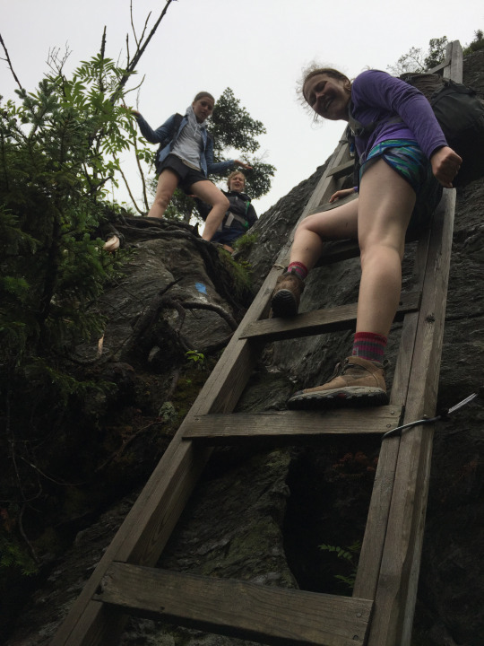

After this true trial, we joined back up with the Long Trail, where we bounded towards the Chin, or the highest point in Vermont, with renewed energy. The strong gusts came back, though the clouds had parted on one side, giving us quite a view…

You have no idea how long it took Tara to get the angle right for this #diditforthegram
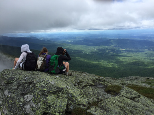

We also found an ownerless dog. It followed us for a while, and then some fellow hikers called the number on the tag. We are pretty sure we saw it later reunited with its family. Tara was real excited about it until she realized how muddy it was….
Then, we made it to the Chin! We finally encountered other people, which was slightly surprising on a day this cold until we remembered that you can actually drive most of the way up. (No, there is no gift shop, sorry to all the people that were upset about that on the way.)


Proof that we made it ft. the most swollen fingers we’ve ever had!
We hiked down Sunset Ridge from the Chin. Sunset Ridge is beautiful, though not underrated. It is one of the most-trekked trails in VT, for obvious reasons: the top half is completely above the tree line, and the view is pretty magnificent. Unfortunately, due to the cold, everyone’s phone had died at that point, so here is a nice Google Images photo of the view:

We encountered many obnoxious people on the way down Sunset Ridge (who were mainly trail hogs and didn’t like to share). Personal favourites include a couple who was literally holding (BOTH) hands the entire way up (seriously, the dude was walking behind her and she kept being like “are you ok to keep hiking like this? I like it better”) and a girl (we can’t recall if her accent was British or Southern, that’s how tired we were) who screamed with delight “I’ve NEVER touched so many trees in my life!”
After a cool seven hours, we made it back to the CCC road, and hiked down Eagle Cut again to the car, where we were so relieved that we almost cried.
Latte rating: Erin somehow survived without caffeine, rendering her superwoman. The rest of us were not so lucky.
Boyfriend rating: idk, maybe Sunset Ridge would be all right if you’re not so co-dependent you don’t hold both hands. Don’t do what we did. All we have to say about that.
Places to stop for food: there are two general stores on the way, one in Underhill Center and one in Jericho Center. We stopped at neither, but if you’re dying for chips, this is probably the best bet unless you can wait until Burlington, where we recommend creemees at Burlington Bay!
Places to swim: you’re not gonna want to swim after putting your butt in all those streams on Cliff Trail! But you know, somewhere in the lake would probably suffice. Also, Bolton is on the way back (sort of), so the Bolton Potholes wouldn’t be a massive detour.
That’s all for now. Until next time…
#YAAAAAAAAAAAS
E&E
@basichikes
0 notes
Text
Chapter 3: #turnt rock
It may have been a day for dads, but #turnt rock stops for NO MAN! After a cool 5:30 AM wake-up, we started off the day with the usual bagel stop (indeed, waiting outside the bagel place to open because nobody wants to start their day that early) and hit the road. Wildlife was spotted even before we got off I-89, with the sudden appearance of a deer (which we did NOT hit, thank you all for your concern), and, just before the trailhead, we came across...wait for it...A BUNNY. Emma may or may not have slammed on the brakes and literally squealed with such exuberance that Erin laughed for a solid minute.
The trail got off to an auspicious start with this lovely opportunity for self-promotion:

The Burnt Rock (this is the only time we will be using the hike’s proper name, by the way) trail starts off fairly easy, with a nice jaunt around to the actual start of the incline. (Beware of falling into a false sense of strength/endurance.) We are pretty sure this trail was called “Hedgehog Brook” but we cannot remember and are too lazy to look it up in retrospect. No hedgehogs were seen, though we did spot five wild dads as well as ten dogs. Which really has to equal at least one hedgehog.
AND THEN IT GOT REALLY HARD. For effect, Emma shouted the words to multiple psalms regarding affliction and turmoil (e.g. MY GOD MY GOD WHY HAST THOU FORSAKEN ME) with the occasional “AMEN” from the peanut gallery (Erin) who couldn’t say much else. Fortunately, we encountered only a few other hikers on the trail, allowing our cries of deep pain and anguish to remain unheard.
In case anyone is worried, we know this makes us sound like we really hate hiking. In reality, we’re just both extremely well-versed in the art of hyperbole. But we digress.
As the incline increasèd, “the land brought forth frogs.” (G. F. Handel, Israel in Egypt, lib. C. Jennens, pub. 1739).

We were then offered a brief respite (or as Erin likes to call it, a re-SPITE) from our turmoil, until the final scramble. (Now, when we reach scrambles, there are mirthful shouts of “TIME FOR BREAKFAST!” We have appropriated this as our new catchphrase, and it is going on our t-shirts.) This occurs AFTER the intersection with the Long Trail. (Note that the blazes turn from blue to white here.) When we got to this point, we were so excited that we trash-talked the rocks for a good three minutes while scaling.


After this loud affair, we reached THE CAVERN!!! We enjoyed the cavern and took too many photos.


Just past the cavern, we were offered a scenic outlook, where Emma had the Most Basic Moment™ of the hike, and dangerously held onto a tree while getting “that perfect insta” #diditforthegram

Shortly thereafter, we reached the summit, luckily alone, where we, for lack of a better description, got #turnt. See snap for proof.

(side note: we just shared one cider, putting us far from actually #turnt or #rekt or #lit in any sense of these words. Remember people: HIKE SAFELY. One of you still has to drive home, also imagine going down that scramble….)
Please enjoy these lovely photos of the summit.


And, as it was Sunday, we honored the nature gods with this wonderful communion, and a loud and tired rendition of the Doxology.

The way down was uneventful, except for all the dogs we saw, and we counted exactly ten streams. (Why yes, we sang Climb Ev’ry Mountain while fording EVERY LAST ONE OF THEM). We’re pretty sure this makes us hardcore, and we think it might be time to invest in Real Hiking Boots. (Fun fact: Things Fall Apart was originally the title of the story in which Emma’s Keen sandals literally fell apart on this trail).
Of course, we kept up our basic vibe by screaming #yaaaaaaaaasssssss at every appropriate moment, and by stopping at a snack bar on the way home. (Also screaming bloody murder while forcing ourselves to go swimming in the Rez.)
Boyfriend rating: the hiking guide suggested #turnt rock as a first date activity. Alternatively, we recommend it as a fourteenth date activity (s/o to the guy at Emma’s work who was very open to suggestions of horticultural gifts for a fourteenth date, and who inspired this rating)
Latte rating: a picture’s worth 1,000 words:

Best places to squat: Erin got off squat-free on this hike, but Emma recommends...well, the forest is pretty dense. There are lots of places, but don’t wait for any perfectly ideal ones.
Place to eat: NOT WHERE WE ATE. We feel sort of bad but other patrons there with us were definitely Trump supporters, so we jumped ship pretty fast.
Place to swim: WATERBURY RESERVOIR! Pro tip: park on the street (they say it’s illegal, but everyone else does it) and walk in, so you don’t have to wait in your car for an hour if the lot is full. Remember that there will likely be many small children (aka vent your verbal frustrations before you arrive).
Cheers, everyone.
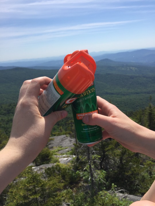
E&E @basichikes
P.S. You didn’t think we’d forget a GIF, did you?
P.P.S. #yaaaaaaaaasssssssssssssss
3 notes
·
View notes
Text
Chapter 2: Mt. Hanger
Just kidding. It’s called Mt. Hunger. Actually, the hanger we experienced was overridden by the enormous slippery rocks that we were forced to scramble (Erin: “some people think the scramble is just for breakfast!”) up and down on this VERY DIFFICULT HIKE. A half mile into this hike, Erin decided to look up the trail description, only to find it was “roughly two miles of intense incline, including but not limited to: stairs, open rock face that must be scaled with hands, and an ACTUAL riverbed.” We realized we might need to throw away our shoes after this hike, which was for “experts only.” Good thing we are definitely expert hikers after Philo.
The drive to the trail head, which is in Waterbury, was surprisingly eventful. We began the basic adventures of the day at the Burlington Bagel Bakery, with bagels and “ombré café,” aka iced coffee with milk that hasn’t been stirred yet. We plan on ordering this at Starbucks next time. Erin may or may not have eaten the rest of her bagel after dropping it on the ground. Other things Erin ate today included a bug (surprisingly unintentional, though she admittedly may have needed the protein) and watermelon, also off the ground, as we do not waste anything here in Vermont. On the way, there were some amazing views, including of several large dead rodents (Emma remarked “mmm, dinner!” like a true Vermonter) and a broken-down car, at which point Erin noted, “hey they must be camping!” It should also be admitted that we spoke in terrible French accents for the duration of the ride.
Upon our arrival at the mountain, we were extremely distressed to find the sign-in sheet (you know, in case you go missing) was in fact missing. The trail started out at a moderately easy pace, but quickly became a steep, rocky nightmare, an unpleasant surprise to every vaguely out-of-shape muscle from our waists down. The fun continued when we were forced to use our ARMS in ascending the rougher terrain of the upper half of the trail. Though, of course, when we realized we were approaching the summit, the adrenaline kicked in, and we managed to enjoy the last half-mile of the hike. Either that, or our legs had gone completely numb, which is also a definite possibility. It should be noted that this trail may not be such a completely horrific experience for those who exercise regularly, e.g. the several small dogs we saw who climbed this trail faster than we did. We also saw some other fun wildlife, including a teeny snake (it was very cute) and many chipmunks. (Erin has gleefully decided that the plural of chipmunk is chipmunkæ.)
This is what most of the trail was like:

The summit was refreshingly cool, as the clouds were low and encompassed the top of the mountain completely. We did get a few nice shots on our garishly brightly cased iPhones, revealing to everyone else at the summit exactly how basic we were. We had a lunch-at-not-lunchtime that was full of nutritious peanut butter and jelly sandwiches, Clif bars, and fruit. We had heard that many people find that the summit has the best view of the state, but unfortunately it was not visible in these pre-thunderstorm clouds (luckily, we made it back to the car before the storm started). Emma did of course remark that she felt as though she were right in the middle of the opening shots of the Sound of Music, though felt as if she might fall over from her legs giving out if she tried to re-enact Julie’s spin.
Here is a photo of the view, though it was practically nonexistent:

Erin’s enthusiasm:

Emma’s enthusiasm:
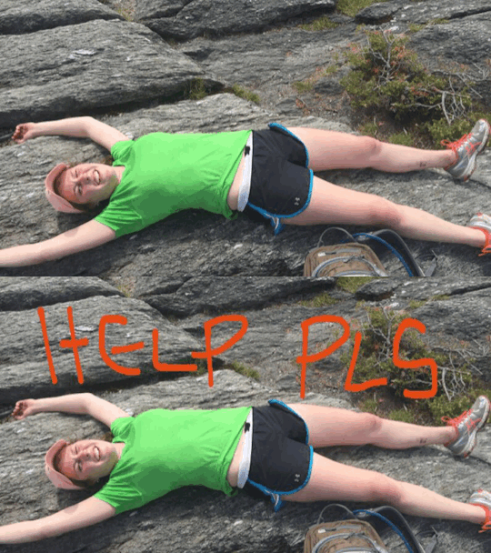
Going down was very treacherous, though our hearts pounded more from the imminent danger of slipping and cracking our skulls open than from the sheer physical exhaustion that we felt on the ascent. A few observations were made:
1. The redder the faces of ascending hikers, the farther we were from the bottom
2. If you need to squat, hike DOWN from the trail rather than up, where everyone can see you pee.
3. We were right in our initial prediction that it would be extremely satisfying to see the deep pain and affliction on the sad faces of the people on their way up the mountain, while we were moseying along down.
Difficulty rating: “extremely strenuous,” according to most online reviews. We recommend resigning yourself to incredible exhaustion, or training hard at the gym for several weeks before you attempt this hike. Though, to be fair, we did pick an extremely hot and humid day. So hot that they had to stop the Vermont City Marathon halfway through because so many runners passed out.
Boyfriend rating: you’d better either be in a legally-bound union, or both have six-pack abs. We thought maybe we’d have six packs by the time we got to the bottom. Unfortunately, this was a bit too optimistic.
Latte rating: we recommend you have the caffeine of at least one ombré iced coffee pumping hard through your bloodstream by the time you get to the trailhead.
Best places to squat: again, just go DOWNHILL from the trail. There are many big rocks for privacy.
Best place for a swim afterwards: Waterbury reservoir. We did not swim today, for fear of being struck by lightening, though we could have used the ice-cold water to numb the pain of the hike.
Best place for post-hike refreshments: toss-up between Cabot cheese and the Ben & Jerry’s factory. We chose the latter today, and waited in a 45-minute-long line, but it was worth it for the the most delicious milkshakes in the entire universe.
Also, we found the Most Awkwardly Dressed Man in the World. We are of the opinion that the backless Dansko clogs really sealed the deal.

The main thing we took away from our adventure today was that we really only go hiking in order to eat all the junk food that we want for the rest of the day.

Join us next week, for #turnt rock!
Love always,
E&E @basichikes
#hanger#my milkshake brings all the boys to the yard#mthunger#hiking#views#basic#volvo#vermont#backless danskos
5 notes
·
View notes
Text
Chapter 1: Mt. Philo
Also known as “Mt. why though?”, “Mt. high, bro”, and “Mt. I-literally-just-saw-someone-wearing-birkenstocks-and-socks, yo.”
Mount Philo is not a real mountain. Mount Philo is a tiny hill that you can actually walk your pug and/or screaming toddler up. Yep, we saw both. We may or may not have been panting harder than the pug. Seriously. There is a PAVED. ROAD. Also a trail, which we elected to take. It took approximately 15 minutes to reach the top (yes, we walked) and featured a live power line (pro tip: don’t pee on it) and a couple doing some *very* heavy petting.
Seriously.
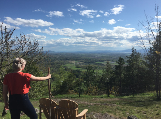
We found a fun walking stick, which made for many Lion King jokes. Here is a photo of Erin posing as Rafiki.
We also found some strange fungus growing on a tree on the way down. Here is a photo of Emma pointing at it dubiously.

Difficulty rating: 0.25. Which, incidentally, is approximately the number of miles we walked on this “hike.”
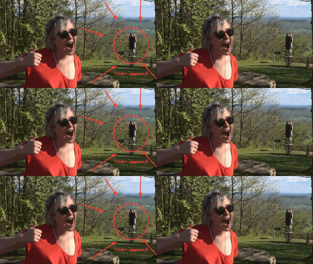
Boyfriend rating: definitely safe for a Tinder date (Refer to heavy-petting couple seen above)
Latte rating (how many lattes we needed to make it through the hike): maybe like half of one, if you really didn’t sleep the night before
In case you still don’t get the picture, Erin actually wore sandals to climb this pathetic excuse for a mountain. It was a not difficult trek. Of course, as neither of us have been to the gym in recent decades (”Hey! I went last January!” -Erin), we did sweat more than we feel comfortable admitting.
Best places to squat: the actual public restrooms at the “summit”
Best place to go for a swim afterwards: Shelburne Bay, which is about twenty minutes from the state park
Best place for post-hike refreshments: Shelburne Country Store, which is on the way back to civilization (aka Burlington). They have EVERYTHING: fudge, penny candy (which they now charge 3-10 cents for, but still, not bad), a Nantucket Nectars fridge, and, most importantly, MAPLE CREEMEES
*Things that were said on this hike*
“Sh*t, I forgot to take Zyrtec today”
“Portia is Brutus’s harlot, NOT his wife!” (shouted)
“I wish you could put footnotes on a blog post”
“I practiced so much Bach today I can’t even think anymore”
“I think I see a feral cat! Oh no, it’s just an unleashed poodle”
“Last time I was here, I was in second grade”
“Last time I was here, my professor suggested throwing all the annoying second graders off the mountain”
“Doesn’t your friend run up Mt. Philo? As like, a warm-up?”
Tune in next time, when we might actually climb a mountain that requires proper footwear!
We’ll leave you with this picturesque view of Vermont. It makes it look like the elevation is a lot higher than it actually was, but that is simply because it is damn near impossible to take a bad picture of a Vermont landscape.

E&E
@basichikes
3 notes
·
View notes