
Don't wanna be here? Send us removal request.
Statistics
We looked inside some of the posts by xandromeddax and here's what we found interesting.
Average Info
Notes Per Post
262K
Likes Per Post
106K
Reblog Per Post
156K
Reply Per Post
65
Time Between Posts
3 days ago
Number of Posts By Type
Text
14
Photo
3
Last Seen Tumblr Blogs


Fun Fact
Total funding amounts to $125.3M.


Text

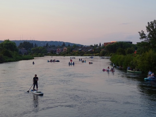
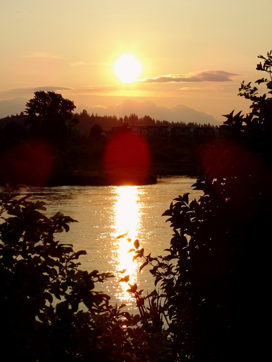
Bend, OR (No. 8)
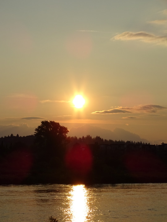
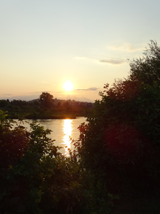
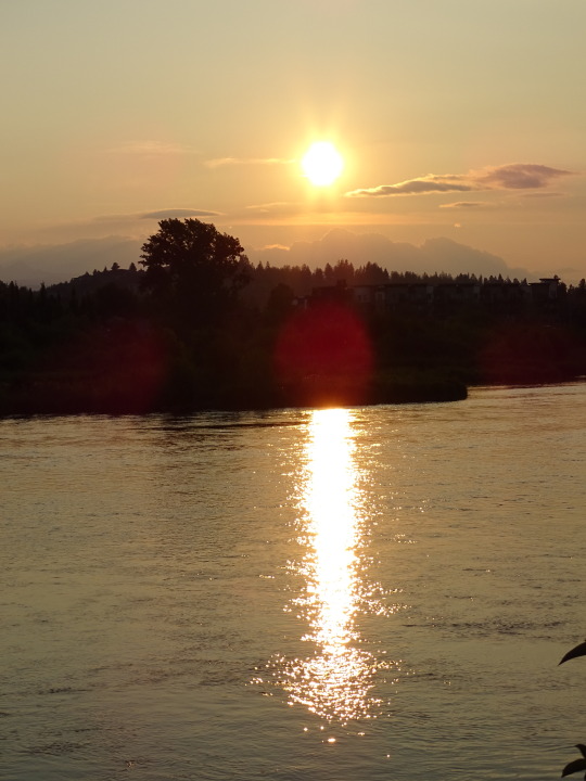
The headwaters of the Deschutes River are at Little Lava Lake, a natural lake in the Cascade Range approximately 26 miles (42 km) northwest of the city of La Pine. The river flows south into Crane Prairie Reservoir, then into Wickiup Reservoir, from where it heads in a northeasterly direction past the resort community of Sunriver and into the city of Bend, about 170 miles (270 km) from the river mouth on the Columbia.
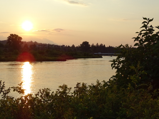
In central Bend, the river enters Mirror Pond, an impoundment behind Newport hydroelectric dam. The pond extends upstream to the Galveston Bridge and is a feature of Drake Park as well as Harmon, Pageant, and Brooks parks. From April through October, diversions to Central Oregon Irrigation District canals reduce the river flow between Bend and Pelton Reregulating Dam, at river mile (RM) 100 (river kilometer (RK) 160).
The river continues north from Bend, and just west of Redmond, Oregon. Here it passes by Eagle Crest Resort and Cline Falls State Scenic Viewpoint. As it heads north through the central Oregon high desert, the river carves a gorge bordered by large basalt cliffs. By the time it reaches Lake Billy Chinook, a reservoir west of Madras, the river is approximately 300 feet (91 m) below the surrounding plateau, the Little Agency Plains and Agency Plains. At Lake Billy Chinook the river is joined by the Crooked and Metolius rivers.
Beyond the dam, the river continues north in a gorge well below the surrounding countryside. It passes through the Warm Springs Indian Reservation, which includes the city of Warm Springs and the Kah-Nee-Ta resort. The river ends at its confluence with the Columbia River, 5 miles (8 km) southwest of Biggs Junction and 204 miles (328 km) from the Columbia's mouth on the Pacific Ocean.
Source: Wikipedia
15 notes
·
View notes
