#not pictured above is about 20 geology students parked on boulders
Explore tagged Tumblr posts
Text
Look at this Lovely Trail!

Someone even marked it with orange paint so you can tell you're still going the right direction!
hiking trails on the west coast: Begin climbing on a soft earthen trail through beautiful douglas fir-western hemlock forest for 2.5 miles along a series of switchbacks, then break from the tree cover for 1 mile of straight even trail through a stunning wildflower meadow just below the ridgeline, after which the trail makes a sharp right and continues to the summit with a further 2 miles of switchbacks. Enjoy beautiful views of the nearest dormant stratovolcano and also at least two waterfalls and a crystal-clear alpine lake along the way. Round trip: 11 miles, 3,000ft elevation gain. Difficulty: moderate :)
hiking trails on the east coast: Go 1.5 miles up. Yes, straight up. Switchbacks? What are you, a baby? Are you a little child? Fuck you. Go up. [Seasonal note: first half of trail is a running stream during mud season and a multipitch ice climbing route during winter.] Round trip: 3 miles, 1,200ft elevation gain. Difficulty: jesus christ
#and not#you know#stumbling over an entirely different rockfall on the hillside#did this one during field camp#had a professor bring a whole ass white board on this hike#like a proper 2.5 foot by 3 foot whiteboard#he'd bound on ahead of us like a deranged mountain goat#set up somewhere interesting#and as soon as we all caught up he'd give a little presentation#and zip on off again#not pictured above is about 20 geology students parked on boulders#desperately taking notes before this man spots another formation
35K notes
·
View notes
Text
4/11-17: The Spring Break Series; Part 5 (End): Ended Spring Break with Something Grand
FRIDAY, APR 15, 2016.

(^calon paparazi)
Sitting right smack in the middle of probably the driest states of the United States, people who didn’t know a lot about the Grand Canyon would assume that the place was dry and hot all year round.
However, I found out that the top of the Grand Canyon—logically—was situated high above the sea level. The South Rim, in which most of the tourist activity took place, stood in an average elevation of 6800ft (that’s more than 2 kilometers, if you don’t mind, Americans), and the canyon itself went as deep as 2400ft (700m) above sea level.
If we had the right page on Geography, we would know that as elevation rises, temperature decreases, and vice versa. With that in mind, it can be safely stated that the temperature at the bottom of the Grand Canyon is always gonna be hotter than the temperature above.
Thinking about this, now it made sense to me why Karen and Eric hiked down the Grand Canyon in January. It might be dead cold at the top of Grand Canyon in January, but down at the bottom it was pretty warm. Wise decision to make, instead of climbing down Grand Canyon in, say, June, because if it was already hot at the top of Grand Canyon, people might as well bring raw meat to cook over a mere rock down at the bottom. Very hot.
But hiking down the Grand Canyon was supposedly an activity that should be well-prepared—physically and logistically—which was exactly why we weren’t doing such thing in this occasion. Like I said, just touristy things. Guided tours, information boards and pamphlets, and pictures. And cheap souvenirs. #sorrynotsorry for being a tacky tourist, really. Kapan lagi.
We drove for around an hour or more from Flagstaff to the South Rim of the Grand Canyon. Flagstaff already stood in high elevation to begin with, but the road we took to the Grand Canyon was a dead-straight road that wasn’t steeply inclined it didn’t feel like we’re gaining so much altitude. When we got there, it was so chilly it didn’t feel like spring break. In fact, the high elevation did kill the ‘spring break’ vibe, kind of like what Flagstaff did to me the night before, because this was what I found on the ground:
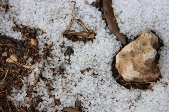
But I wouldn’t complain. I like snow. Gotta enjoy its existence while I still got the chance.
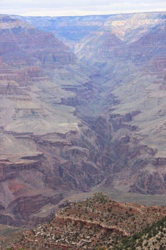
The Grand Canyon was… well, grand. The weather was perfect: it might be chilly, but it wasn’t raining. The skies were bright blue with big blobs of white clouds. The air was fresh and breezy. I haven’t experienced being in such a big open space in a long time. And it felt refreshing.
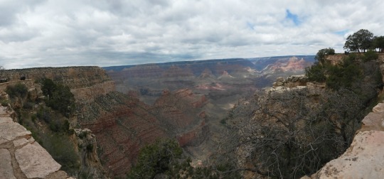
I might have about a hundred pics of the Grand Canyon, but I didn’t have a lot of words for it, except that… nature really was magnificent. Way to go, God.
There were so many ledges and spots that would have been seriously beautiful to watch the whole canyon from or to get my picture taken from, but those spots were mostly unfenced, and none of us would like to risk it, so we went to the safe spot, the designated viewing ‘balcony’ for tourists. But even the view from there was amazing enough already.
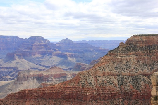
What a pretty layer-cake-like structure. Unlike the tan lines of the Hoover Dam, these layers of the Grand Canyon should have been shaped over millennia.
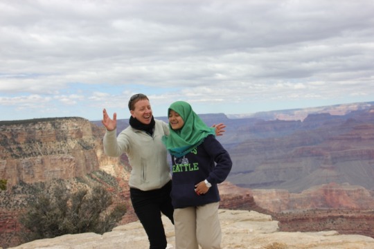
And being a nationalist exchange student I was, of course I just had to do a mandatory pic of me with my flag in an American landmark.
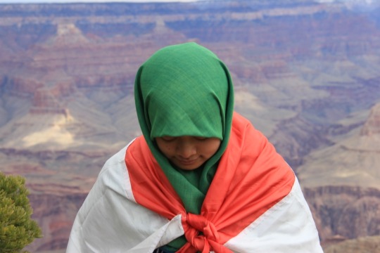
(I probably shouldn’t have worn green hijab because that combined with the flag made me look somewhat Hungarian)
We could also see the bottom of the rim, where people go to camp for days. Karen told me people usually hire a mule to bring their stuff down and up, since it’s kind of exhausting to bring two-three-day camping supplies, including food and water, down and up the rim for miles. Heck, it should have taken way longer than just some miles because it was ALREADY ‘some miles’ if you pull a line straight down from the top to the bottom of the rim, let alone the walking trail which should take many more miles to avoid steepness. I saw at the bottom of the rim, somewhere, ran the Colorado River—or maybe a branch of the Colorado River—along which sides the trees were growing much greener than the other greens in the surrounding area.

We walked this trail called “Trail of Time”, which purpose was to walk the visitors through the journey of the Grand Canyon, geologically. The trail entirely was 2.83 miles (4.56 km), but I personally didn’t think I walked THAT much. But then again, if I try to remember, I was pretty tired and the trail was waaaaay longer than what I expected.
The trail was filled with information boards and polished model of different kinds of rocks. I’m not a person of Geology, but these rocks did have interesting patterns of layers and curves and colors. Each meter walked on the trail marked one million year of the Canyon’s geologic history, like this:
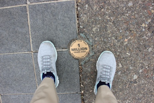
I didn’t read through all of the information on the boards, but it was fun with the viewing tube that gave you a real-life sight of what kind of rock layer was being talked about on the information board. The tubes were specifically set to one point of target, which were specific part of rock of the Canyon that correlated to the rock explained on the board.
This is what I like about making public facilities educational with effort not to make it boring, instead of, say, copy-and-pasting information straight out of Wikipedia and put it on a board for people to read.


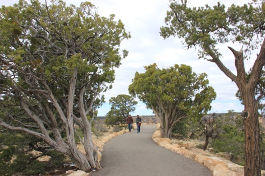
We found a quite pretty unfenced place where we could take pictures too, though. Haha.
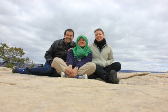
We walked some (and by some, I meant quite some) distance until we found a restaurant at the end of the trail. Ta-da! Stomach is hungry.

A classic log cabin design, with the deer head mounted on the wall and all (wait are those creatures with huge antlers called deers too bc i’m not sure). After that we took the bus back to our parking lot (because nope, no more walking thank you) and hit the road to Phoenix, AZ.
(not after an effort to find cheap souvenirs—I didn’t remember what they were selling but somehow I walked our of the store with nothing because, apparently, nothing in the store fit my criteria) (ya)
If the way across Nevada was a hot desert with patchy bushes, the way across Arizona was a hot desert with bunches of huge red rocks.
Beautiful.
Well, not that our trip all the way from Grand Canyon to Phoenix was all red rocks, but when we reached the city of Sedona and the sun started to glide westward approaching the horizon, the scene got real pretty.
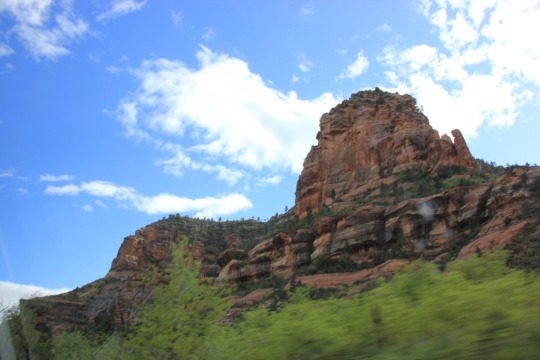
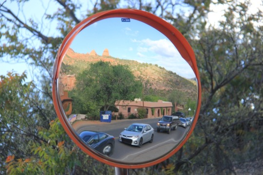
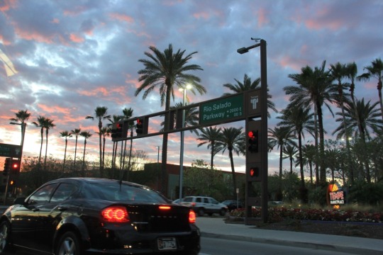
Wish it was in Utah, which supposedly specialized in cool red rock boulders. Well, gotta save some things for later, am I right?
(menunggu hujan duit)
And we finally reached the city of Tempe, Arizona, and had our dinner there.
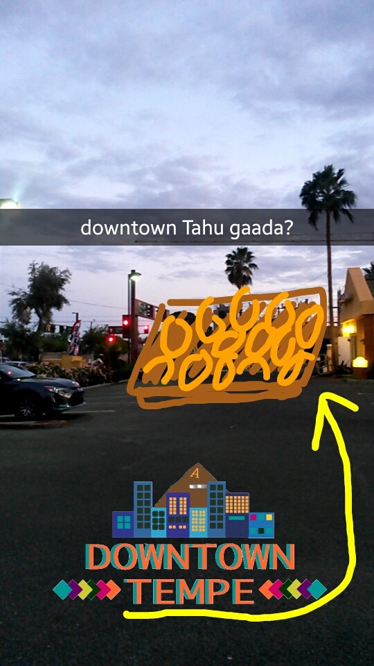
Kalau saya bilang ke orang-orang saya pergi ke Amerika dan mengunjungi kota Tempe, yang ada kayaknya malah diketawain ya.
SATURDAY-SUNDAY, APR 16-17, 2016.
Real quick. Visited Karen’s uncle in a retirement home (is that the correct term?), then went to his house to help cleaning up his house. It’s pretty obvious that Phoenix stood right smack in the middle of a huge desert, with the adobe buildings and all, so I wonder why was I surprised when I found a LOT of jerrycans full of water hidden all over his house (“in case of a drought,” Karen said, emphasizing the water shortage problem experienced by the state and surrounding states despite the Hoover Dam’s existence). We ended up using the water for plants.
Also, Phoenix was hot. If I were to compare, it was probably as hot as Duri (>30 Celcius in the middle of the day), but it was so... dry, like, so different from Indonesian hot. I couldn’t even understand how to explain it, but the sun was so intense and it was so dry. Oh, and, no wind, at all. Plus, what made it so extreme to me was the fact that I had just been through my past 7 months living in cold weather. I was at a point of life where 15 Celcius counted as ‘warm’ and 20 Celcius means ‘real hot and sunny yay let’s play outside all day’.
The next day we went to Scottsdale for none other than *drumroll* souvenirs! Then caught the plane back to Seattle in the afternoon. For some reason, when we arrived in the evening, I got this crazy headache, so I went straight to bed.
...yeah. That was all.
Incredibly exciting spring break, and most definitely super-duper-out-of-this-world unforgettable half a month. Demi apa kayaknya baru pertama kali ini jalan-jalan panjang ke mana-mana selama dua mingguan. Sempat ketemu artis lagi. cihuy.
Absolutely couldn’t thank enough my parents (both natural and host), but this time their kindness and love couldn’t save me from what’s coming the next day.
But for now, need sleep. Headache.
Adios.
1 note
·
View note