#Piute Creek
Explore tagged Tumblr posts
Photo
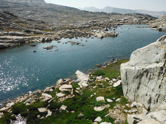
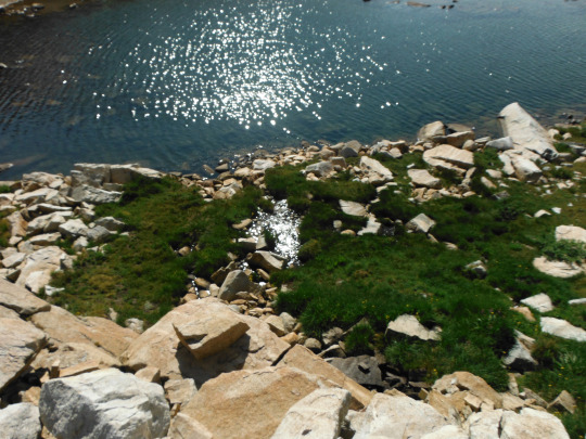
Following these small lakes, the source of Pinnacles Creek which feeds into Piute Creek, which feeds into the San Joaquin River, which flows to the San Francisco Bay. John Muir Wilderness, Sierra Nevada Mountains, California, USA. Photo by Van Miller
#pinnacles lakes basin#san joaquin river#Piute Creek#san franciso bay#san francisco#hiking#backpacking#camping#john muir wilderness#Sierra Nevada Mountains#california#©Van Miller#photography#travel#Wanderlust#geology#lakes#mountains#Wilderness#the wilderness journals
218 notes
·
View notes
Text
2 side Fluorite & drusy Quartz. Deer Trail Mine, Mount Baldy District, Cottonwood Creek, Tushar Mountains, Piute County, Utah. Exceptional
GoldenHourMinerals.com
37 notes
·
View notes
Text

Piute Creek
- Gary Snyder
One granite ridge
A tree, would be enough
Or even a rock, a small creek,
A bark shred in a pool.
Hill beyond hill, folded and twisted
Tough trees crammed
In thin stone fractures
A huge moon on it all, is too much.
The mind wanders. A million
Summers, night air still and the rocks
Warm. Sky over endless mountains.
All the junk that goes with being human
Drops away, hard rock wavers
Even the heavy present seems to fail
This bubble of a heart.
Words and books
Like a small creek off a high ledge
Gone in the dry air.
A clear, attentive mind
Has no meaning but that
Which sees is truly seen.
No one loves rock, yet we are here.
Night chills. A flick
In the moonlight
Slips into Juniper shadow:
Back there unseen
Cold proud eyes
Of Cougar or Coyote
Watch me rise and go.
10 notes
·
View notes
Photo

Drink the Waters of Piute Creek, Yosemite NP, California [OC] [4032x3024]
2 notes
·
View notes
Text
Inside the Cover: Piute Creek
This week’s Inside the Cover features the Thomas’ scroll book Piute Creek. The featured poem was written by Gary Snyder, an American poet who began his career in the 1950s. He was a member of the “Beat Generation”, and the San Francisco Rennaissance. His work “blends physical reality and precise observations of nature with inner insight received primarily through the practice of Zen Buddhism.” He was a part of the community of writers that included Philip Whalen, Allen Ginsberg, and Jack Kerouac.[1] Kerouac even based his character, Japhy Ryder, from The Dharma Bums on Snyder. [2]

When Peter and Donna Thomas visited the University of Idaho in October, they talked about how they made their choices in creating this book. Peter said that he had wanted to print this poem for a long time, but had difficulty in finding the right form to present it. Eventually, he settled on a scroll book, as it reminded him of running water like the creek Snyder describes.

The book ends with a quote by Tom Killion, a California print artist,
“To my thinking ‘Piute Creek’ is Gary Snyder’s greatest poem. It was the centerpiece of Snyder’s first book of poetry, Riprap, which forever changed West Coast American poetry. It was a breakthrough poem, a poem with a new perfect tone, balanced between Snyder’s Zen Buddhist attentiveness to the emptiness of the present moment and the immensity of the wild world outside human control. It was the poem that marked the invention of Snyder’s poetic voice, written in the late 1950s, after working and backpacking for a summer in Yosemite National Park, a time when, as Snyder told me, ‘I began writing all the poems I consider worthwhile.’“

The Thomases use the last page of their book to describe their material choices.
“Donna cut the illustrations. Antique wood type and Centaur were handset and letterpress printed on Peter’s handmade paper. The paper was stenciled using sprayed pulp. The binding was made using ponderosa pine harvested from Whitlocks, in Mariposa, California, not too far from Piute Creek.”

Beyond all the processes they described in their book. Peter and Donna included a hidden feature, which they disclosed in their presentation at our library. If you lift up the scroll, on the board behind there is a hidden surprise referencing Jack Kerouac’s representation of Gary Snyder in his work The Dharma Bums. Unfortunately, we don’t have a picture to show you, but just knowing it is there is pretty cool.
[1] https://www.poetryfoundation.org/poets/gary-snyder
[2] https://en.wikipedia.org/wiki/The_Dharma_Bums
#artist books#Inside the Cover#Peter and Donna Thomas#exhibits#PiuteCreek#poetry#art#Japhy Ryder#Gary Snyder
4 notes
·
View notes
Text
Granite Ridge
Wilderness of Rocks Trail In The Santa Catalina Mountains — Image by kenne Piute Creek BY GARY SNYDER One granite ridge A tree, would be enough Or even a rock, a small creek, A bark shred in a pool. Hill beyond hill, folded and twisted Tough trees crammed In thin stone fractures A huge moon on it all, is too much. The mind wanders. A million Summers, night air still and the…

View On WordPress
#Gary Snyder#Granite Ridge#Piute Creek#Poetry#Santa Catalina Mountains#Tucson Arizona#Wilderness of Rocks#Wilderness Rock Trail
0 notes
Text
Milton By Firelight by Gary Snyder
Piute Creek, August 1955
“O hell, what do mine eyes with grief behold?” Working with an old Singlejack miner, who can sense The vein and cleavage In the very guts of rock, can Blast granite, build Switchbacks that last for years Under the beat of snow, thaw, mule-hooves. What use, Milton, a silly story Of our lost general parents, eaters of fruit?
The Indian, the chainsaw boy, And a string of six mules Came riding down to camp Hungry for tomatoes and green apples. Sleeping in saddle-blankets Under a bright night-sky Han River slantwise by morning. Jays squall Coffee boils
In ten thousand years the Sierras Will be dry and dead, home of the scorpion. Ice-scratched slabs and bent trees. No paradise, no fall, Only the weathering land The wheeling sky, Man, with his Satan Scouring the chaos of the mind. Oh Hell!
Fire down Too dark to read, miles from a road The bell-mare clangs in the meadow That packed dirt for a fill-in Scrambling through loose rocks On an old trail All of a summer’s day.
5 notes
·
View notes
Video
tumblr
“Piute Creek” by Gary Snyder, read by James Marsters.
An additional reading by the original author can be found here.
0 notes
Photo

Drink the Waters of Piute Creek, Yosemite NP, California [OC] [4032x3024] via /r/EarthPorn https://ift.tt/37Sw2aU
0 notes
Text
Whorl Mountain via Horse Creek from Twin Lakes
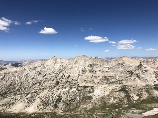
The California wildfires of 2020 were still raging, and the majority of the Sierra Nevada was closed. In my research, I was able to find that the Hoover Wilderness was still open. Even though this is in California, it for some reason lies under Nevada’s jurisdiction as this is part of the greater Humboldt-Toiyabe National Forest. No one wanted to come with me because the smoke was making the air quality bad, but the mountain gods promised me a good air quality index. I booked a room in Bridgeport and convinced Asaka to join me, stating that we needed to get Leif out of the perpetual smoke. Arriving in Bridgeport the night before, I could see the stars overhead. This was a good indication that we would have fresh air to breath the following day.
It was a cold morning in Bridgeport. Asaka and Leif woke up with me and we drove to the trailhead together. Asaka would drive back to the motel afterwards and try to sleep in a little. I walked through the campground on the western shore of Twin Lakes, looking for the Horse Creek Falls Trailhead. I got a little lost at the very beginning, but eventually corrected my path. At the wilderness boundary there was a “wilderness closed” sign. I just talked to the Bridgeport ranger station earlier that week and they confirmed it would be open, so I ignored the sign. I didn’t expect to see anyone on the trail today, and if I happened to run into a ranger, I had an alibi.
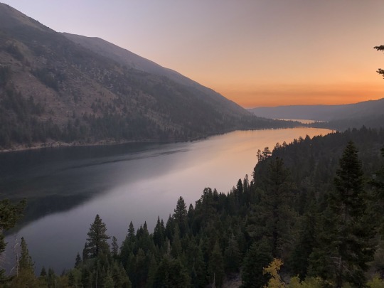
The morning sunrise and alpenglow was breathtaking. My discouragement of having to hike alone completely vanished.
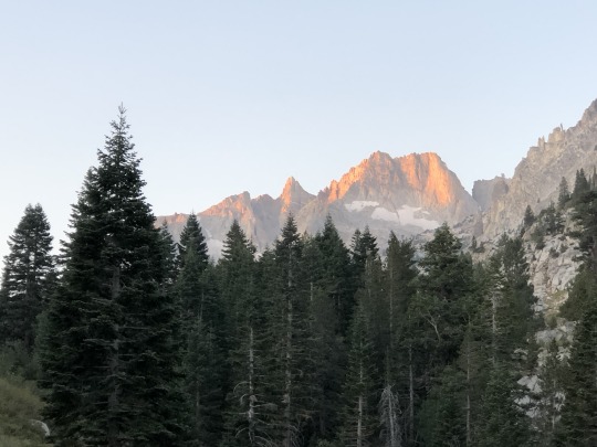
It had been many years since I last hiked this trail. It took me four attempts to climb Matterhorn Peak in my early hiking career, with one of those being almost fatal.
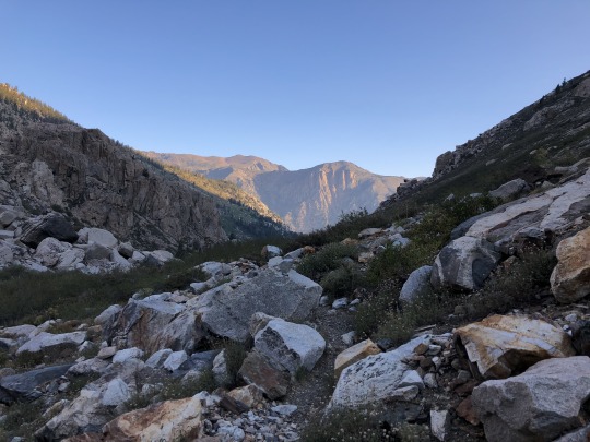
I aimed for the hourglass couloir, which this time of the year was nothing more than a plain boulder field.
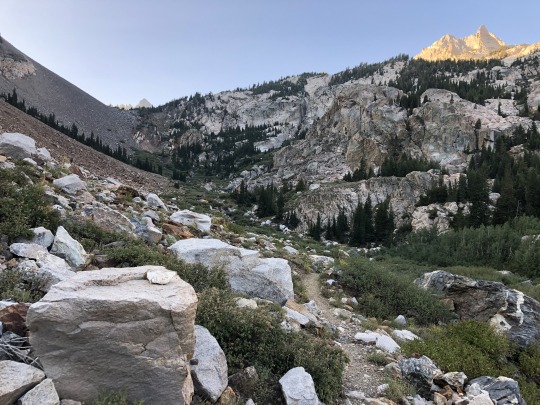
The trail was much worse than I remembered. I lost the trail several times and found myself having to consult my GPS track to get back on route. I aimed for Horse Creek Pass above.
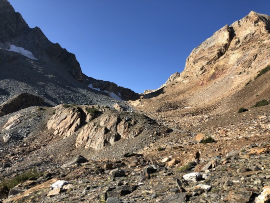
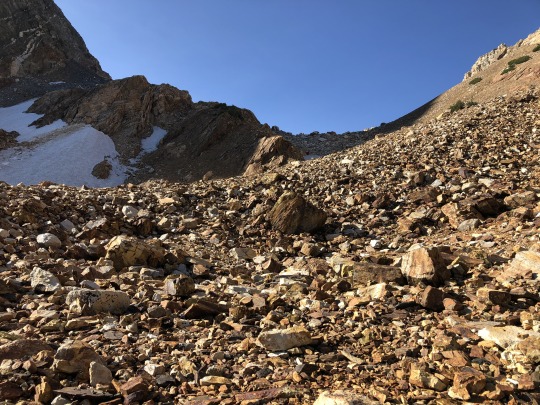
Once I reached the pass, Whorl Mountain came into view sticking out like an axe over the horizon. This was also the northern border of Yosemite.
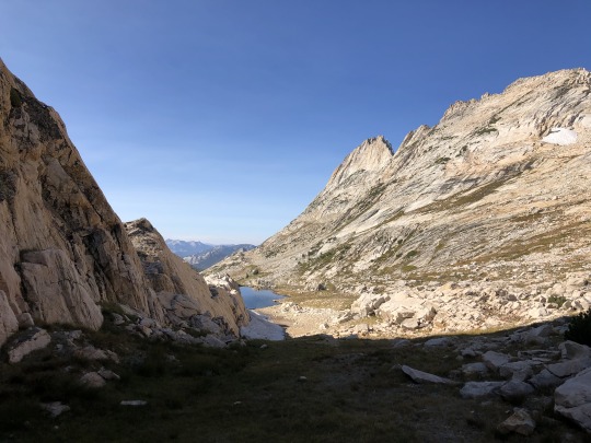
I descended into the grassy Spiller Creek Canyon.
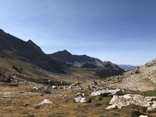
After descending a short distance across easy terrain, I found a flat ramp that allowed me to maintain elevation as I made my way to the eastern base of Whorl Mountain.
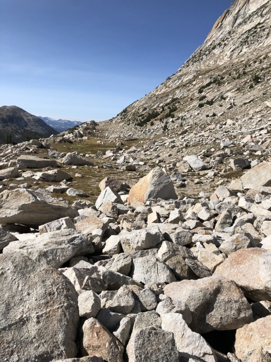
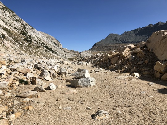
The ramp eventually ended and I found myself sidehilling across sandy slopes.
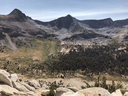
There are many route descriptions online with many details, but I will explain it here as simply as possible. There are three main chutes on the southeast side of Whorl Mountain. One's objective should be to start up the furthest left chute (Chute #3), which should be easiest chute to enter. This chute has a lot of shrubby trees, and climbing should be mostly class 2 with some class 3 moves needed from time to time. As you climb up Chute #3, you should be able to traverse into the next chute to the right (Chute #2). Some ways into the chute are easier than others, so its up to you to cross over via whichever ledge that you are comfortable with.
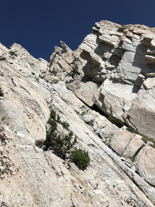
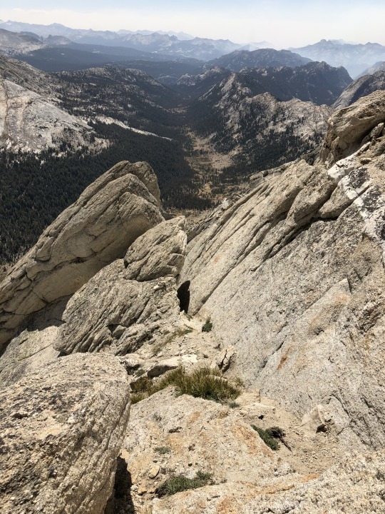
After climbing a short distance, you will again need to traverse further right into another chute (Chute #1). I crossed over via an exposed class 4 crack, but there was an easier class 2-3 chute slightly above me. I took this on the way down.
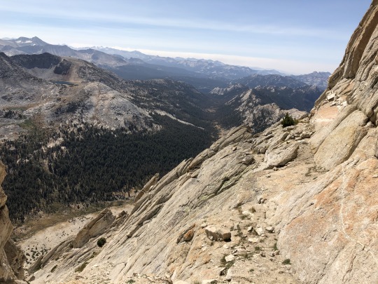
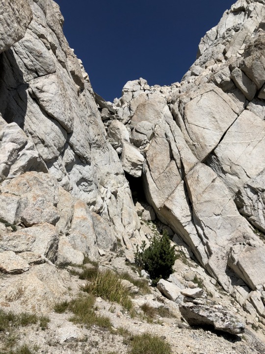
Once in the Chute #1, there is a chock stone above. By this point I was feeling very tired and lightheaded.
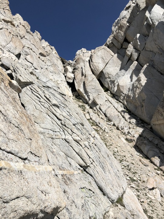
First I tried to climb through the chock stone, but I couldn’t get myself through. This ended up being the correct method, however I was looking to go through on the left side of the tunnel when the correct way was through the right side. I was lightheaded and out of it, and I simply missed it.
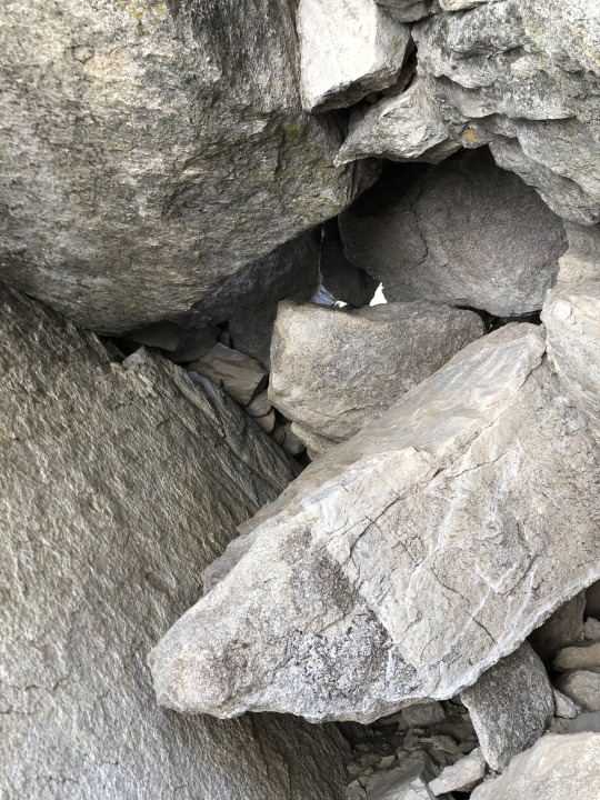
I backed off and tried climbing a series of exposed ledges to the right of the chock stone. This took me to some class 4 and class 5 options, so I backed off. I then started up to the left side of the chock stone. This was class 4 with some awkward holds, but I was able to get myself up to the top of the ridge. I had to go very slow because if I exerted myself too much I felt like I could even pass out. This was not the best terrain for that to happen to me.
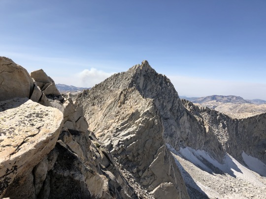
From there I turned north, following some large steps up the ridge.
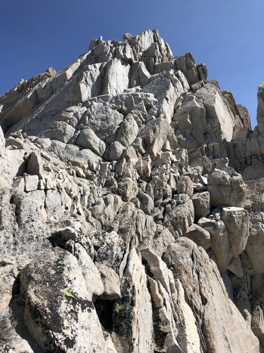
I followed an exposed but easy ledge that cut across the west side of the peak.
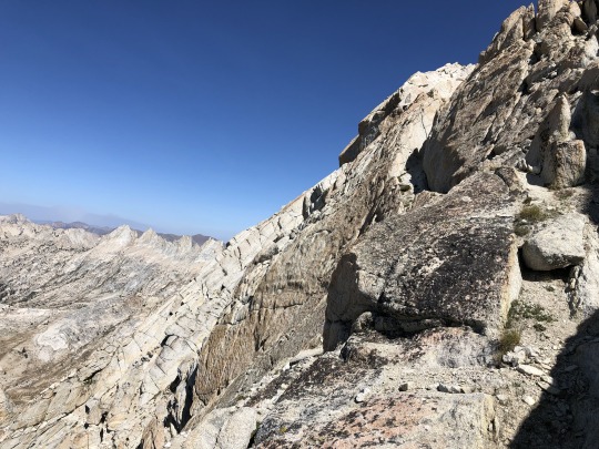
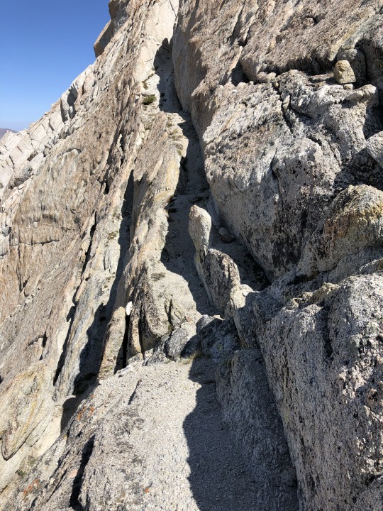
The remaining route to the summit was trivial, but I was feeling very weak for whatever reason. It was as if the nearby fires had burned up all the nearby oxygen. Once at the summit I sat down and focused on catching my breath. To the east were Twin Peaks and Dunderberg Peak.

To the southeast were Virginia Peak, Excelsior Peak, Mt Dana and Mt Conness.
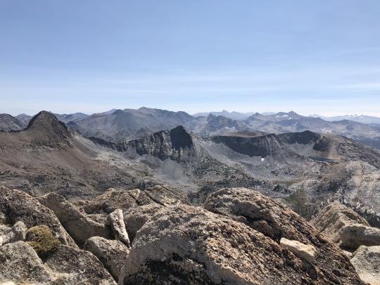
In the far distance were Banner Peak, Mt Ritter, Mt Lyell and Mt Maclure.
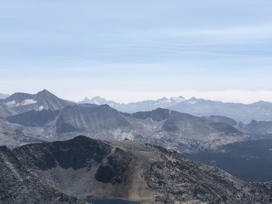
To the south was Tuolumne Meadows.
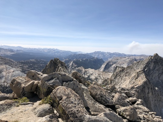
The massive Creek Fire in the Sierra National Forest was raging beyond. Clouds Rest and the tip of Half Dome were barely visible. Tuolumne Peak and Mt Hoffman could be seen to the right.
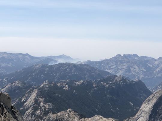
To the west was Piute Mountain.
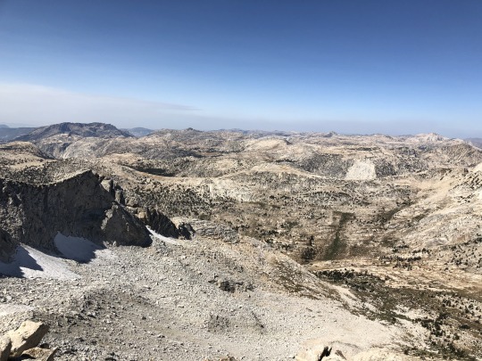
To the north was Matterhorn Peak.
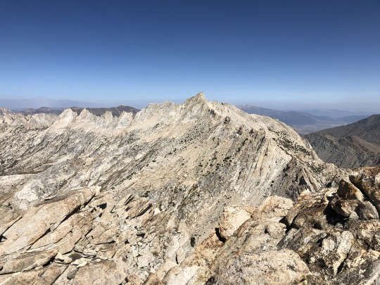
I wasn’t exactly thrilled to descend the same class 4 route to the chute, so I went through the register looking for route descriptions. I found one that described a class 3 route through the chock stone, so I decided to give it a second look on my descent.
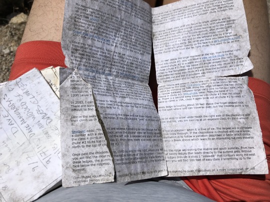
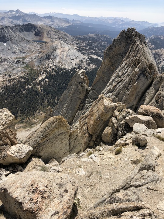
I wanted to get the south peak as a bonus peak, but I wasn’t comfortable doing any extra climbing in my light headed state.
On my down climb I found the hole through the chock stone. I’m not sure how I missed it on the way up.
I then took the easier ledge from Chute #1 to Chute #2.
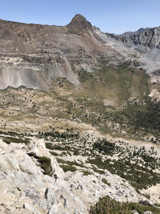
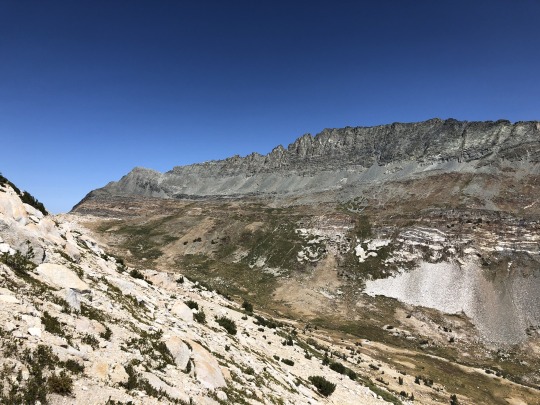
Once back to Chute #3, there was a lot of sandy heel plunging and sidehilling towards the ramp section.
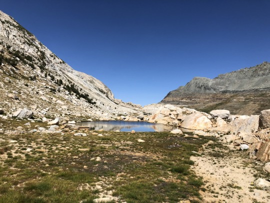
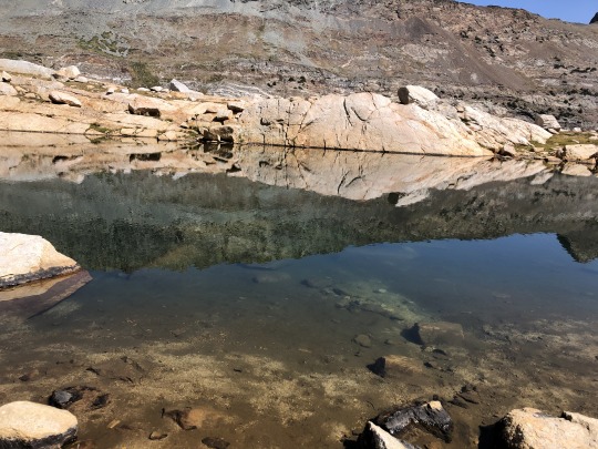
I stopped by a tarn to take a swim and refill my water. The water didn’t taste very good I assume due to high mineral content. It tasted what I imagine a Sierra boulder would taste like.
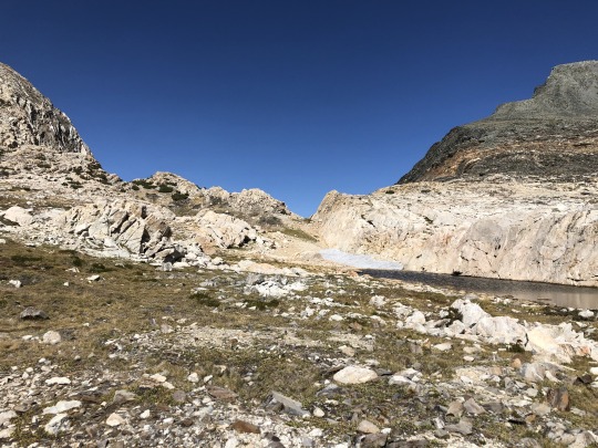
There was some uphill to reach the pass. The Sweetwater Range was visible to the north. The descent was very steep and tedious, but I didn’t lose the trail as much on the way down.
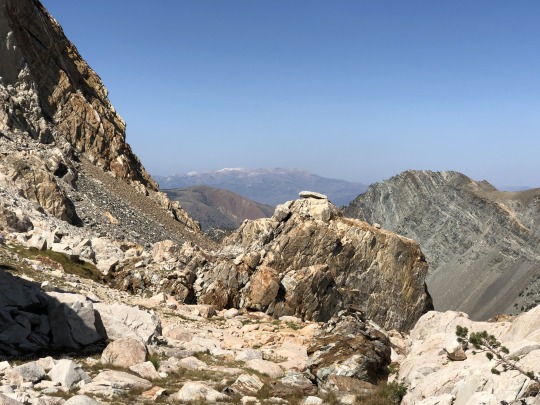
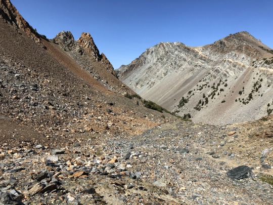
Eagle and Robinson Peaks stood across the drainage.
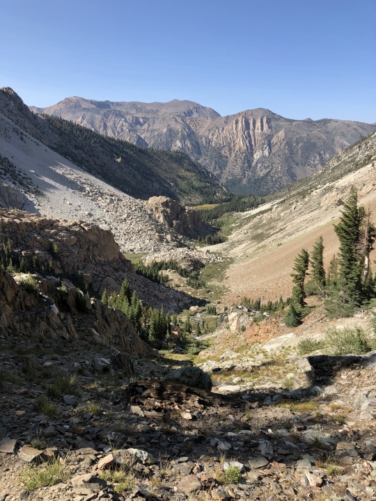
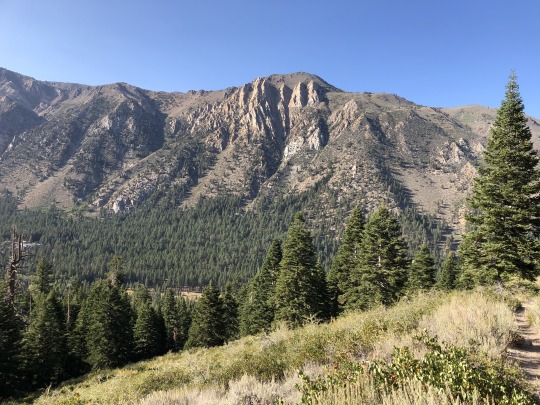
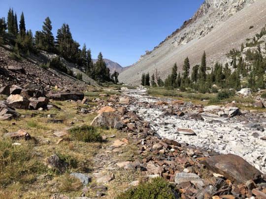
Once at lower elevations I started to feel better. I didn’t see another person the whole hike.
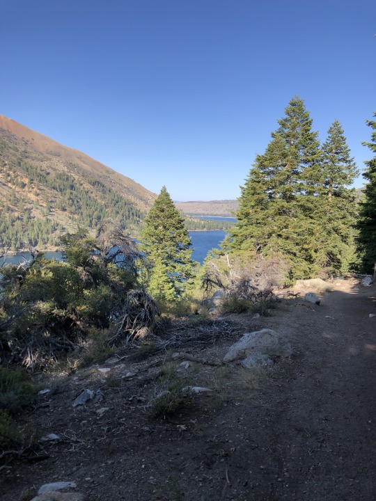
When I returned to the wilderness boundary, I found the “wilderness closed” sign ripped off. I found Asaka and Leif at the campground and after relaxing by the lake, we drove into town where we got a burger. Leif took an interest in the food we were eating. I think he’s ready for solids.

That evening we drove back to my family cabin in Twain Harte where we spent the night. I need to utilize this cabin more often!
0 notes
Photo

Green Fluorite on White Quartz Matrix
Locality: Deer Trail Mine, Mount Baldy District, Cottonwood Creek, Tushar Mts, Piute Co., Utah.
#Green#Blue#Fluorite#White#Quartz#Utah#Deer Trail Mine#Minerals#Crystals#Gems#Gemstones#Science#Nature#Matrix#Geology#Natural beauty#hematitehearts#Mineralogy#Rockhound
360 notes
·
View notes
Photo
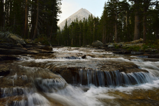
Piute Creek, Hutchinson Meadow, John Muir Wilderness, Sierra Nevada Mountains, California, USA Photo by Van Miller
#Piute Creek#Piute Canyon#Hutchinson Meadow#john muir wilderness#Sierra Nevada Mountains#california#©Van Miller#hiking#backpacking#camping#geology#Wild Rivers#riparian habitat#photography#travel#Wanderlust#Wilderness#the wilderness journals
122 notes
·
View notes
Photo

Fluorite & drusy Quartz 2 side. Deer Trail Mine, Mount Baldy District, Cottonwood Creek, Tushar Mountains, Piute County, Utah. Exceptional
https://etsy.me/42TYhQv
5 notes
·
View notes
Photo

@sierrafish13: Humphreys Basin - 2 Piute Creek below Summit Lake #SierraNevadas #SierraNevada #Fishing #GetOutdoors #Fish #Outdoors #Outdoorsman #trout #TroutFishing #TroutBum #flyfishing #hike #hiking #mountains #backpacking #mountainlife https://t.co/1pGmiwH5uU
0 notes
Text
Tag 74 Piute Creek - Kerrick Creek
Tag 74 Piute Creek – Kerrick Creek
Ich habe wirklich komisches geträumt und war total gerädert als wir um 5 unsere Sachen gepackt haben. Wir starten gegen 6. Es ging auf einem guten Trail durch grüne Büsche den Berg hinauf. Wir sehen ein Reh was schnell verschwindet. Die Sonne tupfelt die hohen Berggipfel in erste Strahlen. Wir müssen einige kleine Bäche durchqueren und bekommen schon um halb 7 nasse Füße. Der Trail wird mit jedem…
View On WordPress
0 notes
Text
Angle, Utah
Formerly known as Lower Grass Valley and Spring Creek, Angle is in Piute County, Utah.
View On WordPress
0 notes