#Humboldt-Toiyabe National Forest
Explore tagged Tumblr posts
Text
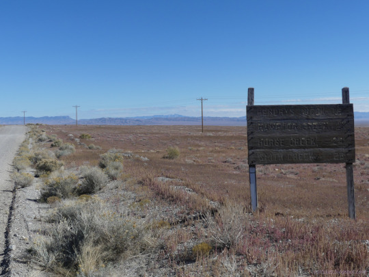
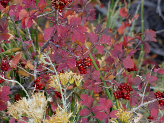
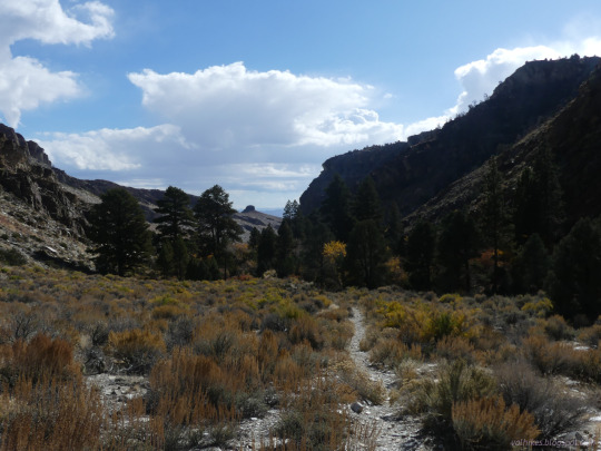
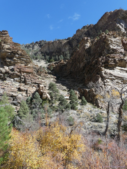
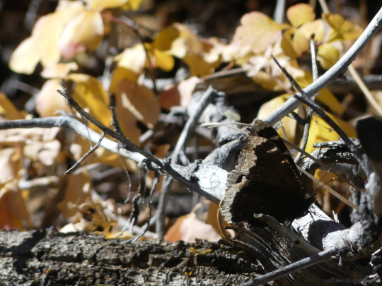
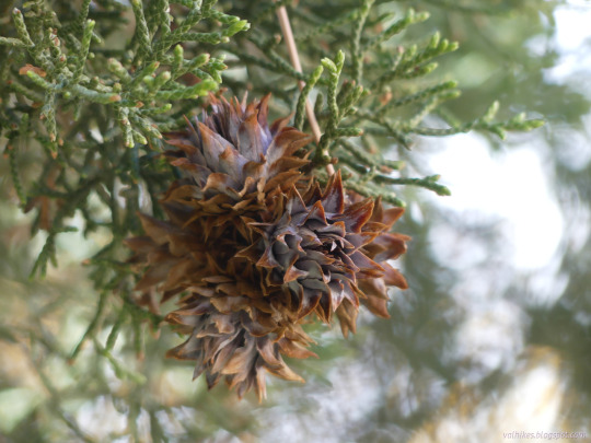
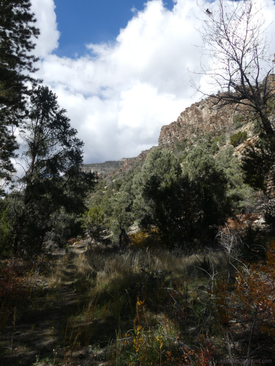
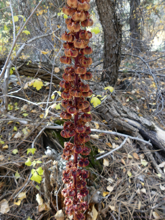
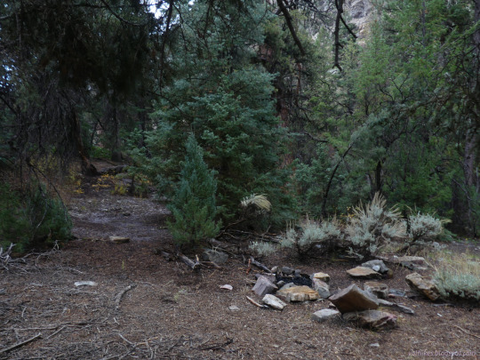
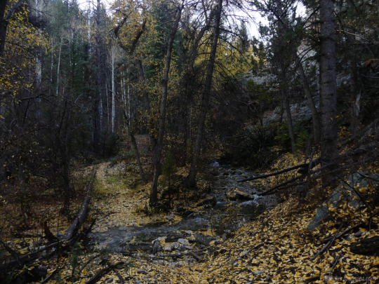
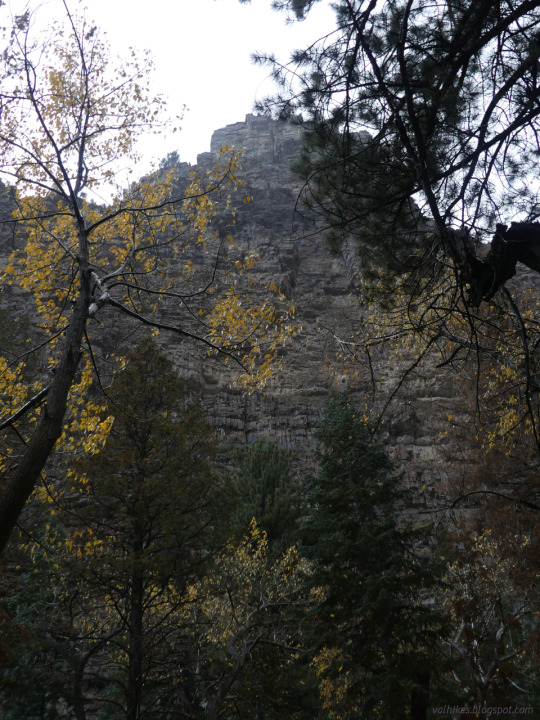
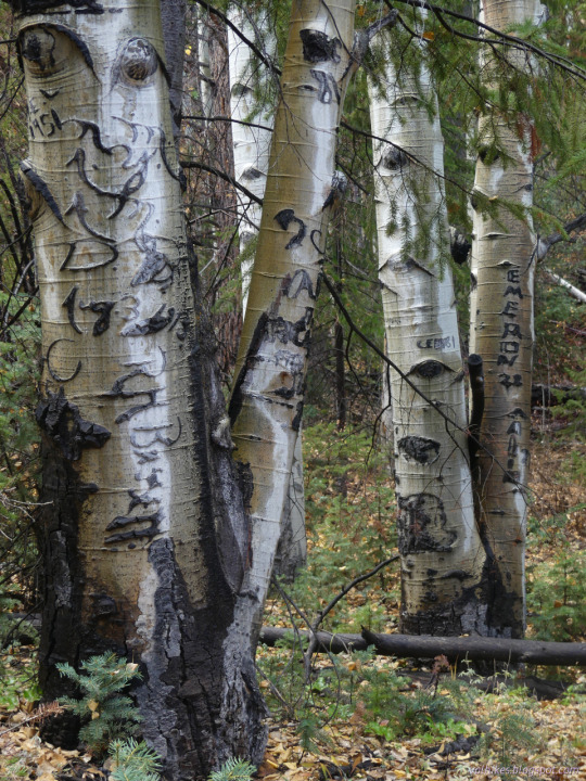
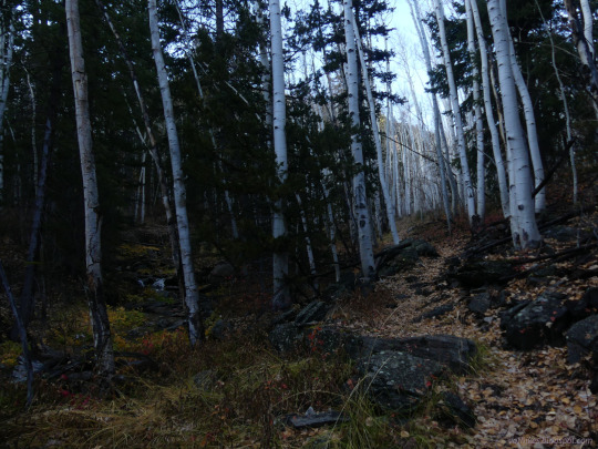
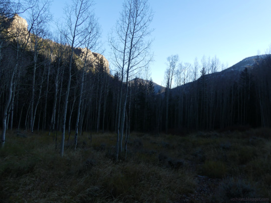
Humboldt National Forest, Nevada
Day 1 of 3 backpacking the Mount Moriah Wilderness to the namesake peak. This day was consumed by the beautiful canyon followed by Hendry's Creek. It did happen to rain and soak my boots through in the afternoon, but there was sunshine before and after.
#hiking#landscape#nature#travel#hike#outside#Nevada#Mount Moriah Wilderness#Humboldt National Forest#canyon#Hendry's Creek#Hendrys Creek#Humboldt-Toiyabe National Forest#backpacking#creek#desert water
10 notes
·
View notes
Text
From the article:
"This program supports jobs and local economies, improves recreation in rural and underserved areas, and aligns with our commitment to conserve at least 30% of U.S. lands and waters by 2030 under the America the Beautiful initiative,” said Acting Deputy Secretary Laura Daniel-Davis. [...] A portion of that $235 million will be used to acquire about 19 acres of private land on the east slope of the Sierra Nevada Carson Range within the Humboldt-Toiyabe National Forest in Area. The purchase is expected to help protect sensitive species, such as California spotted owl, flammulated owl, and northern goshawk, while expanding recreation access to public lands.
#conservation#land conservation#endangered species#desert tortoise#good news#positive news#hope#hopepunk#environment#biodiversity#habitat conservation#habitat#habitat restoration#ecoanxiety#ecological grief#ecology#ecosystem
199 notes
·
View notes
Text

Open range camping in Humboldt-Toiyabe National Forest
Nevada
1982
#vintage camping#campfire light#nevada#homboldt-toiyabe national forest#road trips#history#camping#travel#exploring#1980s
41 notes
·
View notes
Photo

An ancient Bristlecone pine stands as a standing sentinel to the harsh climate at 9500 feet in the Spring Mountains. North Loop Trail, Spring Mountains National Recreation Area, Humboldt-Toiyabe National Forest. 📷 Photo by Michael Balen, February 2013. Credit: US Forest Service.
4 notes
·
View notes
Text
Humboldt-Toiyabe National Forest - Alerts & Notices (usda.gov)
2 notes
·
View notes
Photo

raindrop reflections | Humboldt-Toiyabe National Forest, CA, USA instagram: wandering_wongs
#moody#original photographers#original photographer on tumblr#photographers on lensblr#lensblr#lake#rain#raindrops#reflection#lake life#humboldt-toiyabe national forest#backpacking#the great outdoors
401 notes
·
View notes
Video
Bird Creek Cascade by James Marvin Phelps Via Flickr: Bird Creek Cascade Humboldt-Toiyabe National Forest McGill, Nevada August 2021 ©JamesMarvinPhelps
#Nevada#McGill Nevada#Waterfall#Bird Creek#Humboldt-Toiyabe National Forest#Nature#Outdoors#Forest#Wild Flowers#Stream#James Marvin Phelps Photography
5 notes
·
View notes
Video
Liberty Lake and Lake Peak SE from Ruby Crest Trail, Ruby Mountains, Nevada by Jim Morefield
5 notes
·
View notes
Text


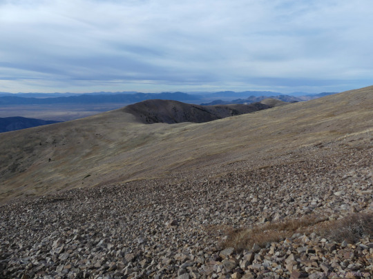


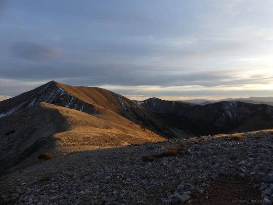
Humboldt-Toiyabe National Forest, Nevada
A second visit to the High Schells Wilderness, this one to the high point, the highest Schell. I made it a quick overnight trip, finding a tiny flat spot high on the ridge and out of the wind (at least for the evening) to spend the night.
#hiking#nature#landscape#travel#hike#outside#mountains#peak bagging#Nevada#backpacking#overnight#High Schells Wilderness#Humboldt National Forest#Humboldt-Toiyabe National Forest#HumboldtNF#HumboldtToiyabeNF#ridge#above tree line#on the edge#public lands#wilderness
2 notes
·
View notes
Video
Shadows and Carson Range, El Dorado County, CA by 4 Corners Photo Via Flickr: Storm clouds cast shadows on the Sierra Escarpment in the Carson Range in El Dorado County, California.
#4 Corners Photo#Black and white#California#Carson Range#Clouds#Cold#Forest#Geology#Humboldt-Toiyabe National Forest#Lake Tahoe Basin Management Unit#Landscape#Monochrome#Mountains#North America#Rural#Scenery#Shadow#Sierra Escarpment#Sierra Nevada#Sky#Snow#Tree#Trimmer Peak#United States#Weather#Winter#South Lake Tahoe#US
6 notes
·
View notes
Text

Unloading the trailer for a week of camping in the Humboldt-Toiyabe National Forest. Nevada 1957
#vintage camping#campfire light#history#camping#travel#road trips#outdoors#hiking#fishing#tumblrpost#50s
123 notes
·
View notes
Text
Who wants to weigh in on my next romcom?
Here’s the plot:
Stephen Lewis is at his BFF Christine’s Stacy’s bachelorette party in Las Vegas. He’s very drunk and decides to ride the mechanical bull at the western bar they’re at, but when he returns with the correct change, there’s a hot guy getting on. Hot Guy is all (drunkenly) like, “Hey cowboy, want to join?” and they fornicate on ride the mechanical bull together (if this sounds vaguely familiar, a video of this happening went around tumblr in the spring, and this is 100% based on that).
Hot Guy’s name is Loki Tad, and the two of them have a drunken evening together. They wake up in bed the next morning with vague memories of really hot sex, and then they discover...that they got married the previous night.
Obviously, they need to get divorced, but you can’t get divorced in the state of Nevada unless one party has lived there for a certain amount of time! Womp womp. Fine, they’ll get divorced somewhere else—luckily, they both live in New York City. They’ll get on that as soon as Lewis gets back to NYC, but first he has a solo backpacking trip in Humboldt-Toiyabe National Forest planned. Tad rightly points out that he’s an idiot for planning a solo backpacking tip and insists on going with him.
Here’s where I would love some help. The bulk of this novel will be the two of them hiking and camping, so I need some hilarity and opportunities for romance to genuinely bloom between them. Think like, sprained ankles, falling in creeks (and having to take clothes off to Let Them Dry obvs). I haven’t backpacked in a loooong time, and it was in northern Minnesota, not the mountains of western Nevada/eastern California, so if anyone has any personal experience with that area, I’d love to hear about it!
7 notes
·
View notes
Link
Excerpt from this Axios story:
Fast-growing wildfires continue to plague northern California, leading to evacuation orders, highway closures and event cancelations — as the threat of "dry lightning" prompts red flag warnings to be issued across the state for Sunday.
The latest: A red flag warning is in effect across the Northern Rockies, which are currently engulfed in a heatwave that threatens to spark new fires.
The big picture: A red flag warning is in effect for the Bootleg Fire in southern Oregon, currently the largest wildfire in the United States — which grew even larger Sunday to a whopping 476 square miles, about the size of Los Angeles, AP reports.
The Bootleg Fire is about 22% contained, as of Sunday afternoon, per InciWeb.
The Tamarack Fire, south of Lake Tahoe near the Nevada border, is among 70 large fires burning across more than a million acres in the United States, including nine in California.
It comes as another heat wave grips the country, this time with the intensity focused on the northwest and northern areas.
Many of the wildfires started amid an unprecedented heat wave that scientists say was driven by human-caused climate change.
As of yet, the largest wildfire on record this year is the Beckwourth Complex Fire, which has scorched 92,988 acres and was only 66% contained, per CNN.
What's happening: The Tamarack Fire was being driven by "gusty winds" and "critically dry fuels" as it was burning uncontained near the town of Markleeville, per a statement from Humboldt Toiyabe National Forest. It has razed some 21,000 acres after being ignited by lightning on July 4.
Mandatory evacuation orders were issued for several nearby areas, forcing Death Ride to cancel its extreme bike event through the Sierra Nevada Saturday, according to a statement posted on its website.
"The fire left thousands of bikers and spectators stranded in the small town and racing to get out," AP reports. The blaze saw part of Highway 89 close, at the intersection with Highway 4.
By the numbers: 17 wildfires were burning in Idaho, 13 in Montana, nine in Oregon, seven in Washington state, six in Alaska, four in Arizona, two in Wyoming, and one apiece in Colorado, Utah and Minnesota, National Interagency Fire Center statistics show.
18 notes
·
View notes
Photo

lake reflections || Humboldt-Toiyabe National Forest, CA, USA instagram: wandering_wongs
#original photographers#photographers on tumblr#photographers on lensblr#lensblr#reflection#trees#nature#clouds#moody#lake life#lake#secret lake#humboldt-toiyabe national forest#explore ca#explore california#california#summertime#mountains#forest
121 notes
·
View notes
Text
Shoreline Tree, Evening Light
Shoreline Tree, Evening Light
A sturdy tree at sunset on the rocky shoreline of a subalpine Sierra Nevada lake
Shoreline Tree, Evening Light. Hoover Wilderness Area, California. August 6, 2017. © Copyright 2017 G Dan Mitchell – all rights reserved.
A sturdy tree at sunset on the rocky shoreline of a subalpine Sierra Nevada lake
In a previous post I described how this short eastern Sierra backpacking trip transitioned from…
View On WordPress
#america#california#evening#forest#humboldt#lake#landscape#light#national#nature#nevada#north#peeler#rocky#shore#shoreline#sierra#sunset#toiyabe#tree#usa#wilderness
1 note
·
View note
Text


U.S Army Special Operations Soldiers with 2nd Battalion, 7th Special Forces Group (Airborne) and U.S. Marine Raiders with Marine Special Operations School ride horseback through Humboldt-Toiyabe National Forest during the SOF Horsemanship Course at Marine Corps Mountain Warfare Training Center, Bridgeport, Calif. (U.S. Marine Corps photo by Lance Cpl. William Chockey)
482 notes
·
View notes