#larouteverte
Explore tagged Tumblr posts
Text
Day 14 – Eastman to Magog – 35 km
Trail: uphill and downhill with steep inclines and declines; 8 km paved, 27 km unpaved; A
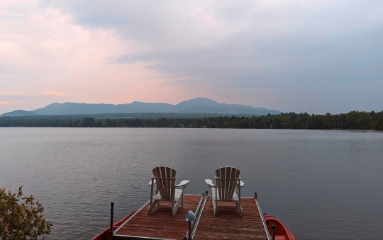
Last night I stayed at La Maison Jaune de Eastman on Lac d’Argent. It was a clean and comfortable room in a home with private entrance and bathroom. The setting was beautiful and the hosts provided kayaks and bikes. Highly recommended.
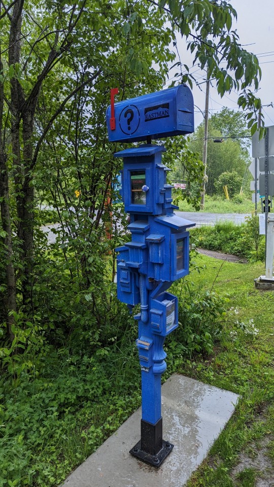
A nod to Eastman's literary heritage.
I sat in a café for over an hour hoping that the rain would let up. It didn’t. After checking the weather I saw that it would rain all day and the temperature would also fall. I thought of my friend Pep from Spain who would say “I am a pilgrim, the rain won’t hurt me”, and off I went.
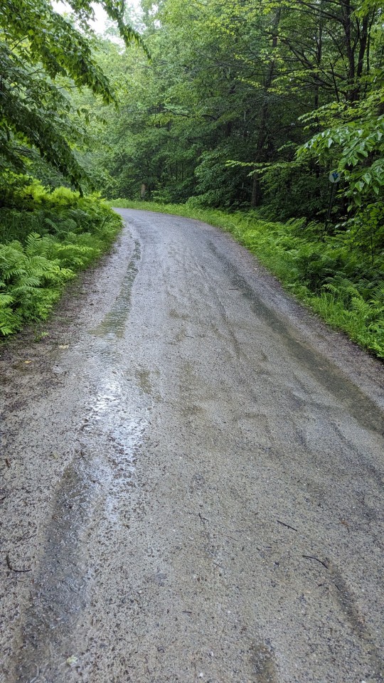
Trail conditions were very good, with the addition of a 2 streams created from the heavy constant rain, 1 on each side of the trail. Periodically the streams were punctuated with ponds or rivers crossing over the complete trail.
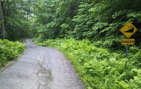
Danger signs should have been at the base of each incline because if anything was going to kill me it was the steep ascents. The decline signs should have read “Wheeeee”.
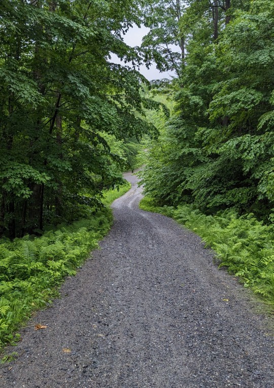
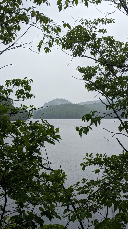
I traveled through hilly forests with lakes sprinkled along the way. I saw a people walking and a couple joggers, but no other bikers. Most people seemed to know enough to stay inside, out of the rain.

Google was optimistic in it’s description of the trail, “mostly flat”. Google’s disclaimer “Use caution – bicycling directions may not always reflect real-world conditions��� applied. The first third of the ride was up and down, up and down, but mostly up. The last 2/3 of the trail continued to be up and down but generally descending, which was more enjoyable. The last 2 days were physically challenging and, for the record, I never walked my bike up any hill.
Magog is at 200 m elevation and Ste-Anne-de-Beaupré is almost sea level. It should be an easy downhill from here on.
I was hoping for some amazing views today (the summit was 365 m / 1200 ft elevation but the rain and fog made it difficult to see much.
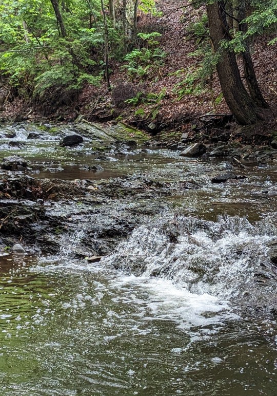
It was a shame that I had to use my brakes so frequently on the declines. They were often steep, muddy, and with sharp corners. It just felt so wasteful. I wanted to go downhill fast, but there was a real risk of getting a really big ouchy.
If I hadn't been relaxing and enjoying a fast downhill ride on pavement, I would have seen a shortcut to the right, less than a kilometre outside of the park. The shortcut would have cut out the Orford loop, saving about 3.5 km.

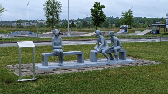
I arrived in Magog soggy and hungry. I had lunch. The rain didn’t let up so I didn’t get to see much of this pretty town on Lac Memphremagog.
I got a flat tire 3 blocks from my B&B. An easy walk in the rain. It’s my lucky day.
#transcanadatrail#sentiertranscanadien#sainteannedebeaupre#travel#biking#hiking#camino#lamontagnarde#larouteverte#eastman#magog
7 notes
·
View notes
Photo

SkiLane #crosscountry #skiing #eastman #trees #alone #forest #larouteverte by @jpcyr
0 notes
Text
Day 18 - St-Agapit to Ste-Anne-de-Beaupré – 88 km
Trail: very steep hill; 93 m up, 212 m down, 88 km paved; A
In a nutshell, I got to Ste-Anne-de-Beaupré after 9 hours in the saddle. I pushed through day-long rain & a constant headwind. A tough day.

Last night’s stay was at Gite le Duvet d’Oie. This was the gastronomic treat of my journey. I booked a room for the evening only to learn that there was a restaurant attached. After the most amazing dinner, and breakfast, did I realize that I booked a gourmet restaurant that offered a place to stay. I can’t say enough good about it. Thank you chef Gaston and family. It’s a splurge, but highly recommended.
Due to complications getting home on a train with a bike, I decided to compress my last 2 days into 1. This gave me more time to finalize my return trip home. Did I mention that the VIA Rail website states that the train has room for bikes? At time of booking my return trip VIA Rail Customer Service told me that it wasn't possible to take a bike on a train, regardless of what the website says. Hmmm, another poorly managed government business? This can’t end well.
My ride started at 8:00 after a delicious breakfast. Normally on the last day of a journey I’m pretty much adrenaline pumped, but today I way just blah. It was pouring rain. The temperature was 11° and felt like 9° (48 F). The wind was from the northeast at 22 km/h, a headwind.
The trail, from start to finish, was paved thankfully, so this made pedaling easier. It was tree-lined and then along beautiful homes along the St. Lawrence River. Similar to previous sections of the trail, there were frequent rest stops, except today, almost every one was uncovered. Bummer. So, reprieve from the rain was very limited.


At Levi I faced a steep 22° decline (so steep that barriers forced me to walk down the hill), followed by a wet narrow bridge over rapids, followed by a matching steep hill. Brutal.

I know that I wasn’t in a race but I felt compelled to compete races time after time. When I left the coverage of trees, I raced to the next section with tree coverage. Every time I passed an uncovered rest stop, I pedaled harder, racing to the the next rest stop in hopes that it might be covered. Every time I went down a hill I pedaled hard to get out of the wind and rain sooner.


I rode through a number of cities including St-Romauld, a beautifully preserved historical town on the St. Lawrence River. The TCT crossed the St. Lawrence River via ferry proving a welcome rest and cover from the rain.


By the time I got to Québec city, the wind had picked up to 35 km/h. I had to shift down to the lowest gear. It was like climbing a steep hill. Somehow I thought that riding against the wind was better than climbing hills. I convinced myself that: hills were permanent but that the wind could stop at any time; and that I could escape from the wind when I rode behind trees, buildings, and berms.

I rode past Montmorency Falls, 30 m higher than Niagara Falls.
I saw just 1 other biker today but half a dozen runners. Are runners endorphin junkies or too dedicated to stay in from the rain?
The last hour or so went by very slowly. I ate a pack of energy chews. The rain continued. The headwind was strong. All I could do was down shift, put my head down and pedal. I couldn't see the trail because my glasses were wet from the rain. I could only hear the sound of my raincoat flapping in the wind.

At 5:30 pm I arrived. The basilica was closed. It was raining and there were very few people around. I stopped at a café near the basilica and had a local craft beer. It didn’t feel like a celebration. I went to my motel room. It was good to have a warm shower and get out of the rain.
#transcanadatrail#sentiertranscanadien#camino#sainteannedebeaupre#travel#hiking#biking#larouteverte#lamontagnarde#véloroutemariehélèneprëmont#corridordulittoral
6 notes
·
View notes
Text
Day 15 – Magog to Sherbrooke – 32 km
Trail: moderate hills; 139 m up, 199 m down; 17 km paved, 15 km unpaved; A
I had a change of plans. Originally I was going to stay in Sherbrooke for 2 night's, resting one day. On the advice of an "in the know" waiter in Granby I decided to stay one night in Magog and one night in Sherbrooke. Unfortunately, it was raining when I arrived and since Magog is an outdoorsy town, I didn't have much of an opportunity to partake in local activities.

I stayed at À L’Ancestrale B&B in Magog. The home was clean and the bed comfortable. The host was incredible. She had tea when I arrived, an excellent and filling breakfast, and as if that wasn’t enough, she gave me a dry place to work on my bike. Oh, and then to top it off, while I was fixing my tire, she came out with a large bag lunch, at least half the size of my already full bike pack. Highly recommended.
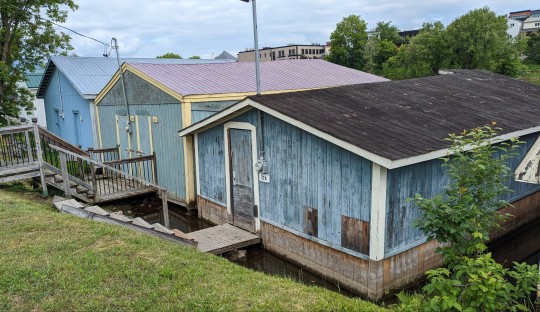
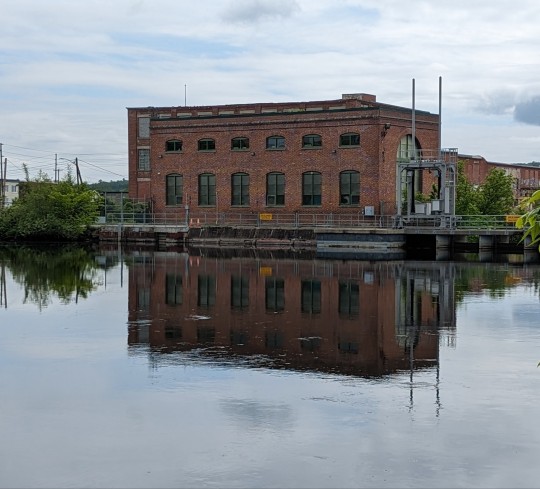
There are plenty of boathouses along the Magog River and an electrical power plant.
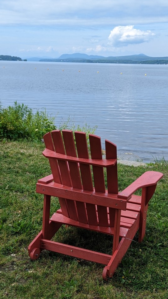
Magog is on Lake Memphremagog and activities are heavily based around the water such as boating, sailing, kayaking, eating & drinking, swimming, sun bathing, biking, walking. I would definitely give this town 3 days in the future. It may be a real gem.
I started the day by repairing my flat tire. I found a 2-3 mm thorn that had poked through the tire and punctured the tube. I removed it, replaced the tube and away I went, but not before the host got out an air compressor to properly inflate my tire.

Leaving Magog, I was faced with a detour. After taking surface streets back to the trail, I realized the TCT was in better condition than Quebec roads. Keep up the good work on the trails!

Even though I ended the day at a lower elevation, the trail was up and down. Not like the past two days where the trail was more like a “scream like a little girl” kind of roller coaster. Today, the trail was much more like long gentle hills, climbing for a km or so and then downhill for a km or so. The ride was fun. I just smiled all the way down the hills.
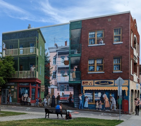

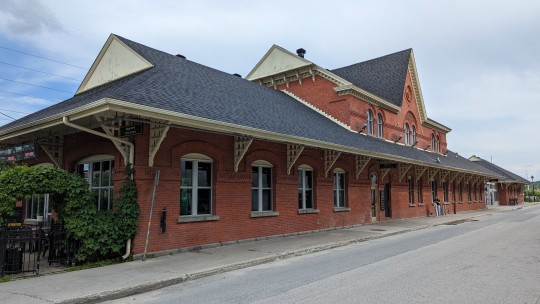
I arrived in Sherbrooke in the afternoon. After the detour and then missing a trail marker (La Route Verte forked to the right at l'Eglise St-Roch in Rock Forest while the TCT continued straight ahead) I rode an additional 13 km, so it took longer than planned. Sherbrooke is the city of "too many hills". I took my bike and coasted to a restaurant in 10 minutes and it took me almost 30 minutes to get back. It’s at the confluence of the Magog and St. Francis rivers, a university town with large building murals, waterfront activities, and a very cool train station microbrewery/restaurant - Siboire.
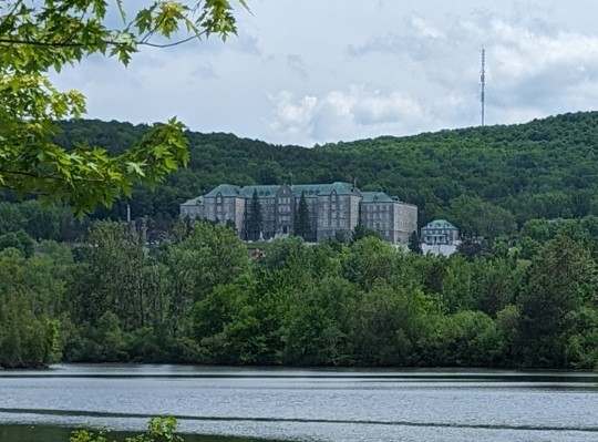
It’s also home to the massive Petites Sœurs de la Ste-Famille Convent.
#transcanadatrail#sainteannedebeaupre#travel#hiking#biking#camino#larouteverte#sentiertranscanadien#desgrandesfourches#sherbrooke#magog
6 notes
·
View notes
Text
It took me more than a week to get my routine down & become part of my daily ritual. It looks like this:

1. Wake up at 6:30
2. Prepare for my day (this takes about 30 minutes and seems to be the most complicated part of the day)
a. Check the weather for the day and adjust my clothing accordingly – sweater or not, rain gear or not
b. Pull on a t-shirt (add wool sweater if it’s cold outside)
c. Apply foot cream (optional - l had some left over from my last Camino and the cream makes my feet happy) and put on my socks
d. Apply Voltaren to my knees and legs, then pull on my knee braces (this made the ride much much easier).
e. Apply a liberal coating of chamois butter (to prevent rashes), then pull on my riding shorts.
f. Lace up my biking shoes.
g. Put on rain gear if it's raining.
h. Put my clothes into Ziploc bags and pack them into my bike bags.
i. Fill my water bottles and put them on the bike.
j. Attach bike bags to my bike.
K. Stretch my legs and back.
3. Enjoy breakfast.

4. Ride for 1.5 to 2 hours, the find a café / restaurant (or a boulangerie in Québec) for a second breakfast. Tim Horton’s is always an option.
5. If I expect to arrive at my destination before about 2:00 p.m. then I go straight to my room. If it's going to be later, I eat lunch on the trail and refill my water bottles.
6. Ride until I get to my destination, then check-in to my room and unpack.
7. Take a shower (to wash off the dust and sweat).
8. Change into evening wear, then hand wash my clothes and hang them out to dry.
9. Relax at a local craft brewery / microbrasserie (this is my chance to reflect on the day and taste local creations) then find a restaurant for dinner.
10. Look for a room in upcoming towns. This has been more complicated than expected, due to the number of rooms available - typically requires 3-5 days advanced booking. I ended up spending a lot more than I anticipated. This is an area where I needed to better prepare. In the future I would use www.warmshowers.org and, in Québec, www.sanctuaires.ca.

11. Sleep.
12. Rinse & repeat
4 notes
·
View notes
Text
By the numbers
The following was my final route from Midland, ON to Ste-Anne-de-Beaupre, QC. A detailed map, with alternate routes, can be found on AllTrails ( Trans Canada Trail Pilgrimage: Midland to Ste-Anne-de-Beaupre Pilgrimage | AllTrails ).

My final 18-day itinerary was:

Total distance: 1,168 km (1,204 if you include the ride back to Quebec city)
Average distance rode: 69 km/day
Average ride time (includes breaks and lunch): 6.8 h/day
The pilgrimage could be completed in 19 days, including 2 rest days and a day to return to Quebec City where you can catch a plane, train or bus to return home. At this point only flights permit shipping of bikes. Via Rail no longer accepts bikes. They told me that they will again in the future. It's possible to get a bike shipping service but that requires some additional planning. Proposed plan, with a day off in Perth and Magog:

I found only one place to stay in Chambly. Book as far in advance as possible.
If you can afford two days off to rest, it makes the trip more enjoyable. I'd recommend staying in Perth and Magog. The average daily distance becomes 73 km and an estimated 6.2 hours of riding.
It took considerable time to find a bike box. I was able to get one from Vélo Basse-Ville in Quebec City. I had to pack it myself and it took me almost 2 hours.
#transcanadatrail#sentiertranscanadien#sainteannedebeaupre#hiking#biking#larouteverte#travel#lamontagnarde#midland#camino#tayhavelocktrail#tayshoretrail
2 notes
·
View notes
Text
Returning Home
Day 19 - Ste-Anne-de-Beaupré to Québec – 38 km
Last night I stayed at Motel Deblois. It was a small but clean room with a comfortable bed and enough room for my bike. Recommended.
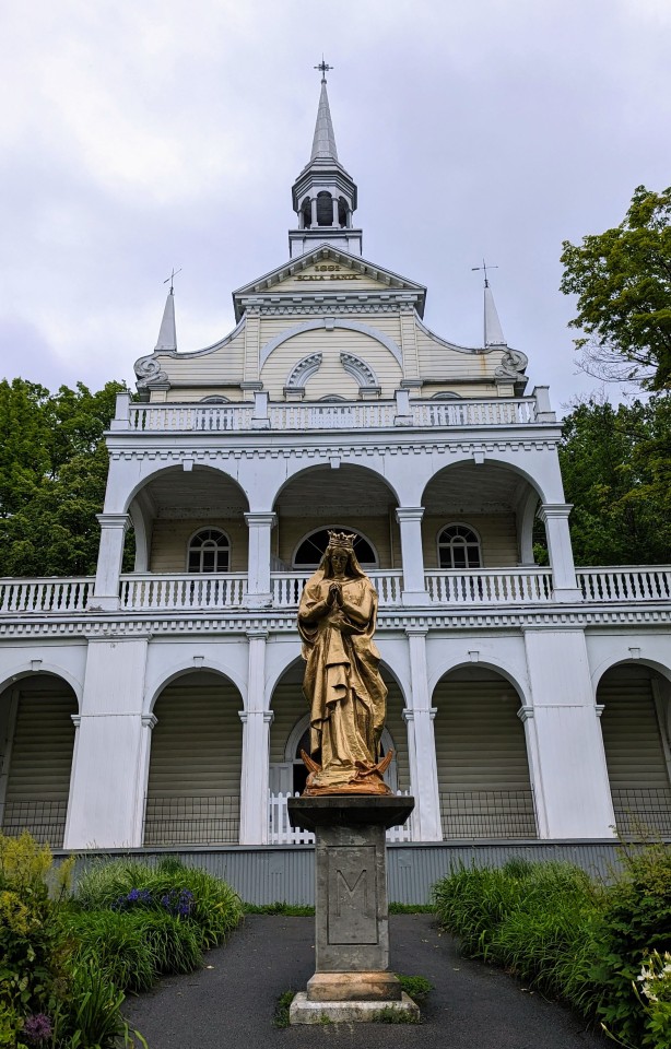
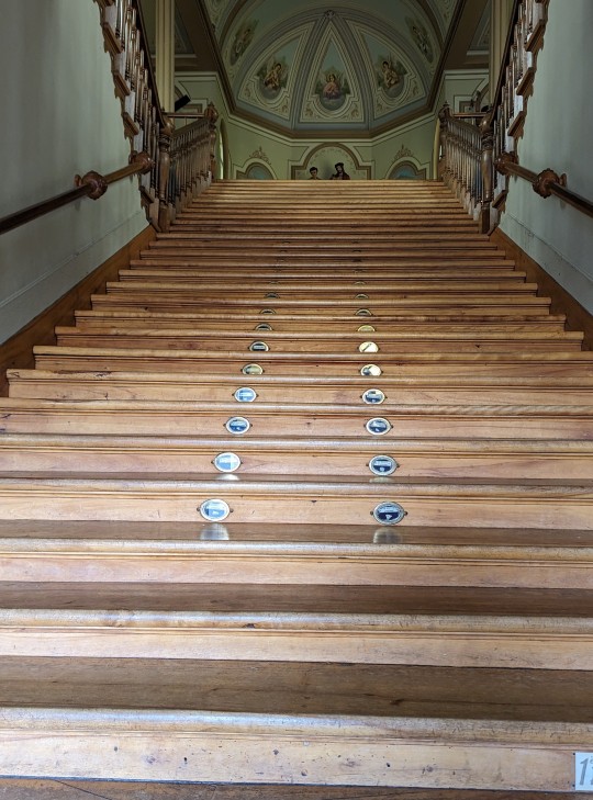
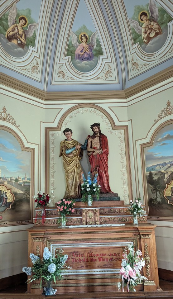
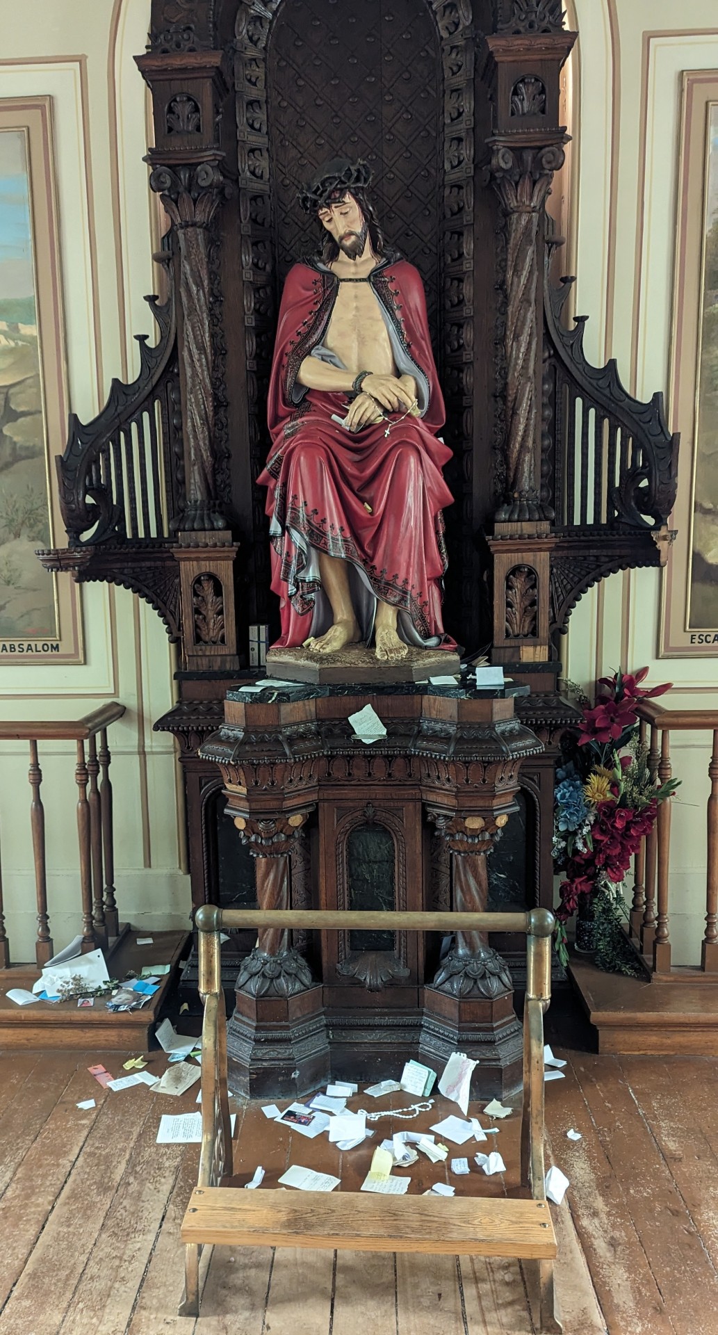
Before attending mass in the basilica, I climbed the 28 steps of the Scala Santa (holy stairway), built in 1891.
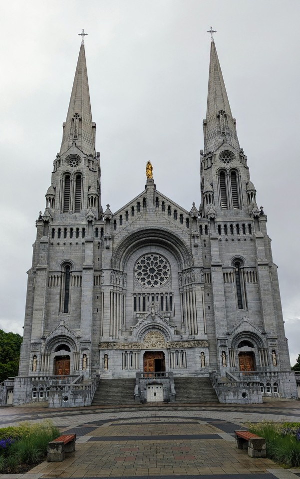
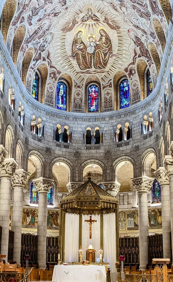
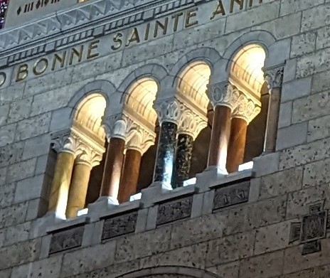
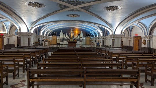
I spent the morning wandering around Ste-Anne-de-Beaupré, the oldest pilgrimage site in North America. The basilica is both gigantic and stunningly beautiful. The first church was built in 1658 and has become famous for the miracles performed here. The town and buildings around the basilica could use a little love. Church lawsuits and corresponding payouts have caused some deterioration and closures near the basilica. COVID made matters worse. None the less, it's still pretty amazing.
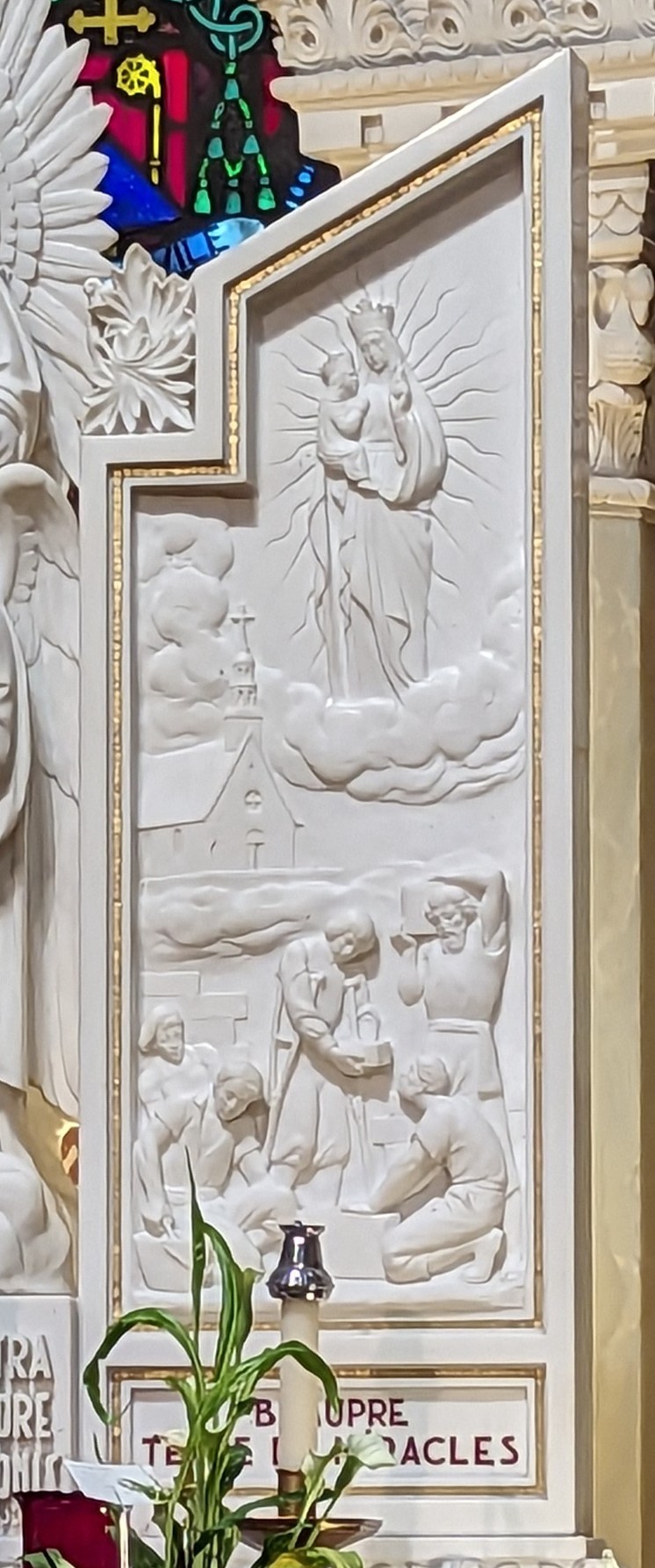
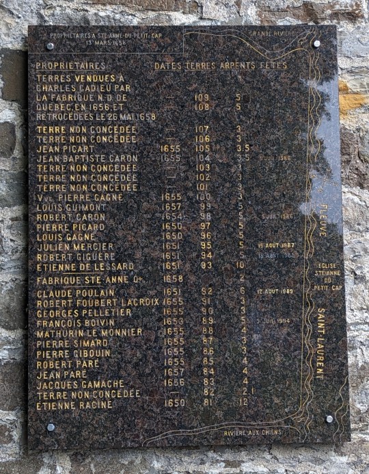
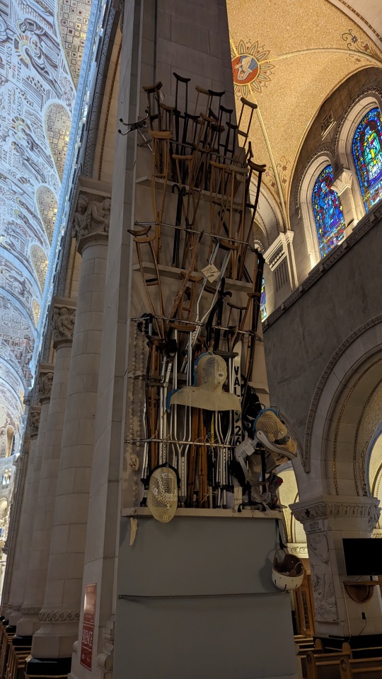
I found my personal connection. My 9th great-grandfather, Louis Guimond, was carved into the wall of the basilica. He was the recipient of the first miracle at Ste-Anne-de-Beaupre. I also found a plaque showing the land that he owned in 1658.
I inquired about a credential and learned that you must register before arriving in Ste-Anne-de-Beaupré to be recognized as a pilgrim @ [email protected]. There was plenty of information related to the basilica and local tourism, but very little about the rich history of the town and surrounding area, mildly disappointing.
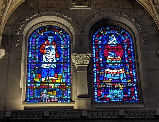
I discovered a stained-glass window of polish pilgrims (on the right), from home, Detroit.
I finally met other pilgrims. Four people from Ottawa, Denis & Jeannette and another couple. Denis and his wife had completed 5 Caminos and three walks across Québec. They walked from Ottawa to Montréal, Ste-Anne-de-Beaupré to Gaspé, and on this day had finished their 18 day walk from Montréal. In total they have walked over 5,000 km, so far. Wow! They also told me that they used a group Chemin du Sanctuaire (https://www.chemindessanctuaires.org/) to find low-cost accommodations.
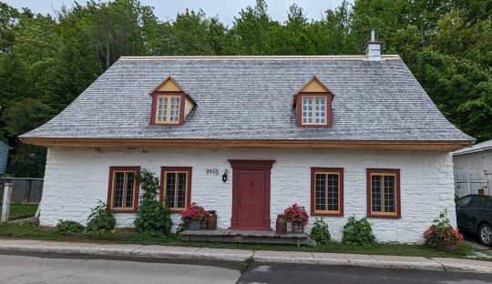
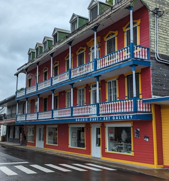
The ride back to Québec City took me through Chateau-Richer. It was a nice ride through history with buildings, homes, and farms dating back to the 1600s. The town placed interesting historical signs along the trail, tracing seigneuries back to the original land tenants.
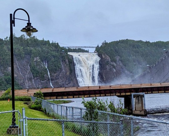
I passed Montmorency Falls. At 83 m high, they are 30 m higher than Niagara Falls. The ride to Québec was an absolute pleasure. The rain stopped and I had a 25 km/h tailwind. I rode in high gear the whole way, while yesterday I could only ride in low gear for most of the day.
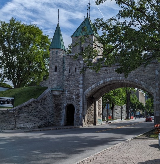
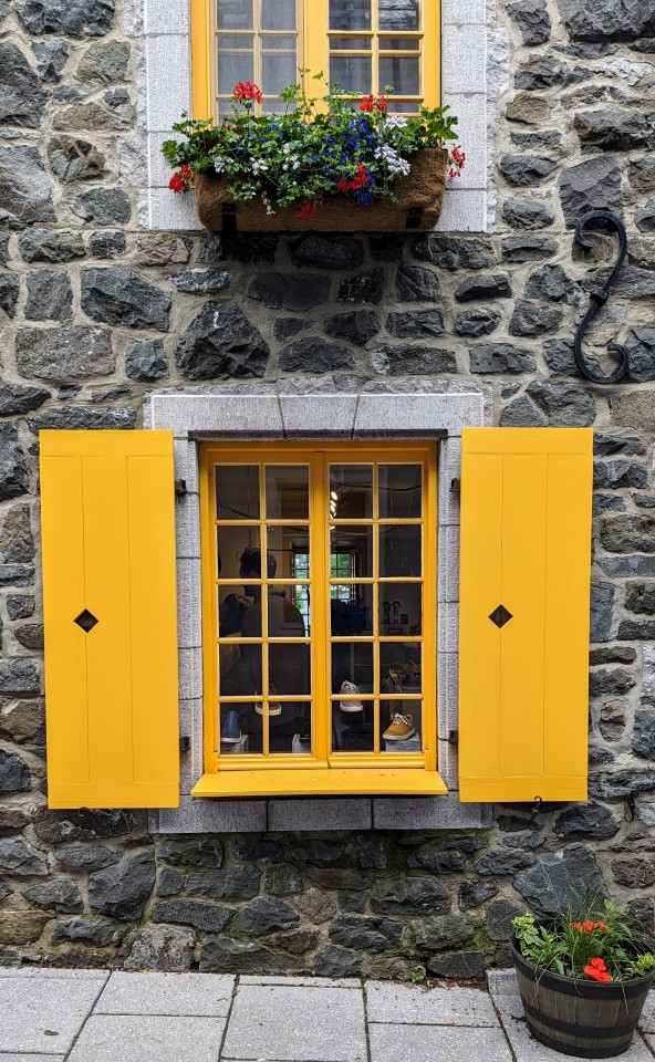
I returned to Québec, a walled city and World Heritage Site, founded in 1608. The sun had come out making it enjoyable to walk around the old town.
#transcanadatrail#sentiertranscanadien#camino#sainteannedebeaupre#travel#hiking#biking#larouteverte#lamontagnarde#véloroutemariehélèneprëmont#corridordulittoral
4 notes
·
View notes
Text
Quebec City the distance.

#transcanadatrail#sainteannedebeaupre#travel#hiking#biking#larouteverte#camino#sentiertranscanadien#parcoursdugrandtronc
4 notes
·
View notes
Text
Feeling a little under the weather leaving for Victoriaville.
6 notes
·
View notes
Text
Day 13 – Granby to Eastman – 44 km
Trail: moderate uphill with steep inclines and declines; 338 m up, 186 m down; 35 km paved, 9 km unpaved, A.
Last night I stayed at the La Maison Collins B&B. This was a first class B&B, a modernized yet charming old home. The floors creaked but not as loud as my joints. Indoor bike parking was provided, which included power outlets for e-bikes. It was super clean and the bed was comfortable with one exception. I found the bed to be too hot causing me to sweat. The kitchen was closed on Mondays so they paid for breakfast at a nearby bagel restaurant. Highly recommended.
The trail changed today and introduced steep hills. The scenery included a beautifully manicured rail trail followed by hilly countryside with beautiful views. This provided the opportunity to get off my saddle to pedal.
Leaving Granby the trail forked. I stayed to the right which kept me on the TCT (the left would have taken me on a reservoir tour).
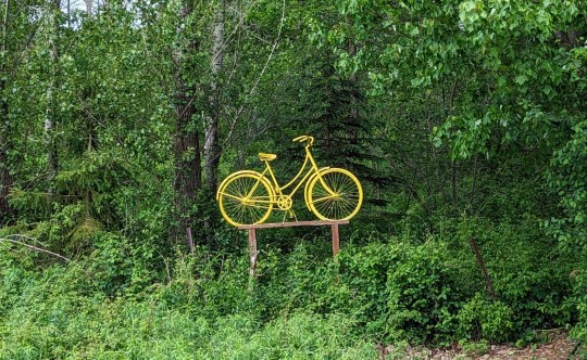
A couple bikers passed me yelling and waving. It was difficult to hear them as they rode by. I was pretty sure that they said “détour” and I immediately thought “Oh *#@!, I’ll have to turn around and go back, find another route and waste 1.5 hours”. As I was coasting, ready to turn around, I saw a turtle on the path. They were yelling “tortue” (turtle in French). It’s nice when things work out.
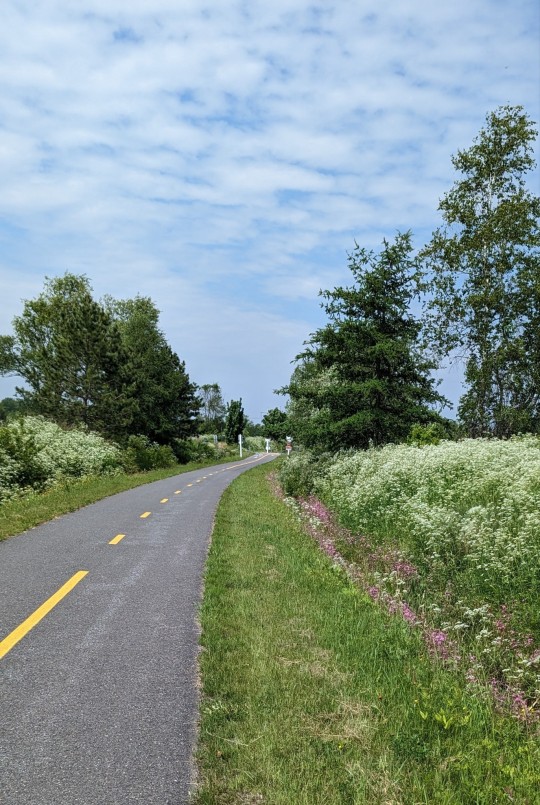
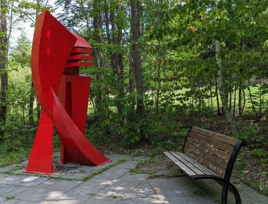
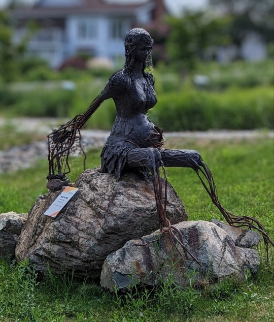
Trail maintenance was stepped up a notch with rest stops at every former train station stop, which included picnic tables, often supplemented with art and sculptures. The trail itself was really beautiful. It was like riding along a path with ribbons of white, yellow, and pink to my left and right.
People seemed to be really happy today. As they passed, most would say "bonjour". If not, they would just smile and nod. The trail greeting in Quebec, "Bonjour", has the same intent as “Buen Camino”.
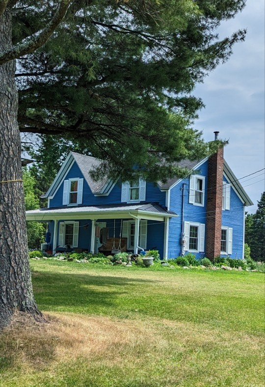
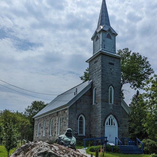
With a short ride ahead of me, I spent the day as a “bikehiker”, stopping a lot, taking in the sites, and taking photos along the trail. (I tried to come up with one of those mashed up words for riding a bike while progressing at the pace of a hiker. Bikehiker seemed a bit long, but when I tried to shorten it to bihiker the new word just seemed to give the wrong impression.).
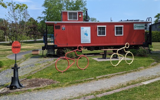
Waterloo was a nice halfway point for the day so I stopped in this quaint town for a second breakfast. Waterloo is designated as a Coeur Villageois (charming town).
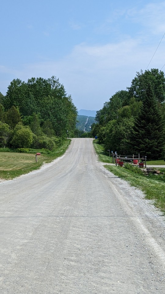
The last 14 km of the day were like a roller coaster with steep ascents and descents. My bike has 27 speeds and I needed to use every gear. I found the steep descents to be exhilarating. At one point, while decending a steep hill, I was sure that my checks and ears where flapping, like a cartoon character.
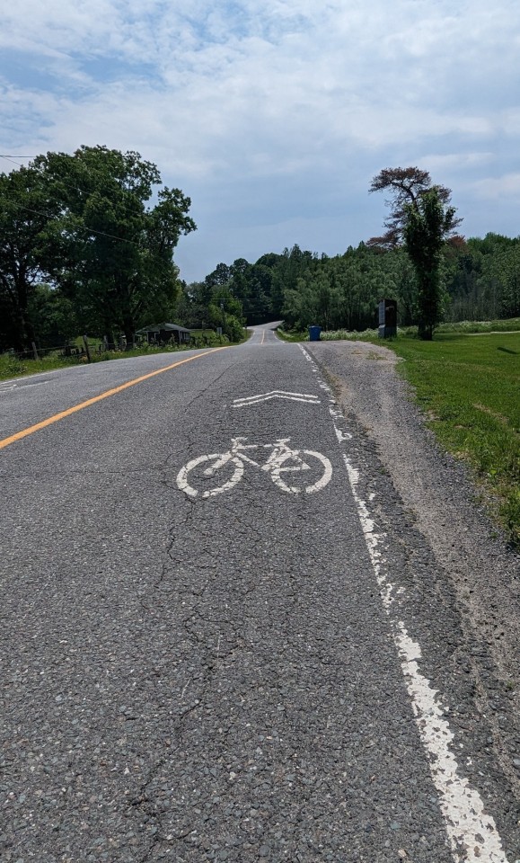
Exhausted, I stopped to talk to a couple at the top of one of the the hills. They told me that the ride from that point on was very good. They were also riding e-bikes and they went out of their way to tell me how much they liked them.
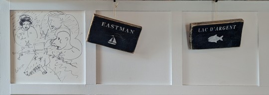
Arriving in Eastman early allowed me to enjoy a nice lunch and wander around a bit. Eastman is a Coeur Villageois. It is at the foot of Mont Orford and is famous for its literary heritage and festival. For me, the lake was a big attraction.
The TCT went through a number of local name changes today. La Montérégiade became Estriade on the edge of Granby, which became La Montagnarde on the edge of Waterloo. The pavement ended on the far side of Waterloo and lasted for 9 km until highway 112.
#transcanadatrail#sainteannedebeaupre#travel#hiking#biking#camino#larouteverte#lamontagnarde#sentiertranscanadien#estriade
3 notes
·
View notes
Text
Day 11 – Vaudrueil-Dorion to St-Jean-sur-Richelieu – 109 km
Trail: Mostly flat, 101 km paved, 8 km unpaved, A
A long day. There were no rooms in Chambly so I had to ride an additional 18 km to St-Jean-sur-Richelieu. Only 15 minutes of rain.
Last night I stayed at the Holiday Inn Express. It was clean, comfortable, and just off the trail. The bed and shower were excellent. Breakfast was included. Recommended.


Today’s ride was along smooth paved bike paths, allowing me to ride at a higher speed. I followed the St. Lawrence River to Lachine and it was incredibly beautiful. The shoreline, quaint villages, and homes were impeccably manicured.

It was Saturday morning and most towns and cities had farmers markets or art shows.
There were bikes everywhere. I didn't go one minute without passing a bike. Montrealers surely love biking.

In Lachine, the sun came out and so did the boats. Dragon boat racers were enjoying the day. i find that the world is a much happier, more colorful place.

In these Montreal apartments no one unit can see into another. Total privacy. Also used for the 1976 Olympics.
Around Montreal trails were not well marked. Constant use of the AllTrails app and Google Maps was a necessity.
While I was crossing the Concord Bridge, from Montreal to the south shore, I thought to myself that it would be cool to see some Formula 1 racing. I need to be careful what I wish for. As I got to the end of the bridge, a security guard stopped me and told me that I couldn't proceed and that I had to go back because of Formula 1 preparations. This just sucked. I had to double back and take the Samuel de Champlain Bridge, adding about 1 hour and a half to my day.

The TCT was marked with a limited number of "Sentier Transcanadien" signs. Signs using local names were much more prominent. I followed Route Verte 5 and then Route Verte 1 to Chambly. At Chambly I took the Piste du Canal Chambly.

Blanche de Chambly on the lake in Chambly. I (my butt) needed a short break. On the way to Chambly time flew by. The ride was essentially through Montreal suburbs, with homes to look at and plenty of bikers.

Snow in Chambly?

Hot air balloons took off from the parking lot of my hotel.
#transcanadatrail#sainteannedebeaupre#travel#hiking#biking#camino#chambly#saintjeansurrichelieu#larouteverte#sentiertranscanadien
3 notes
·
View notes
Text
Finished lunch, warmed up, dried off. 50 km to go. Oh, and a dry ferry ride to Québec city.
#transcanadatrail#sentiertranscanadien#sainteannedebeaupre#travel#hiking#biking#larouteverte#chemindusault
2 notes
·
View notes
Text
Making progress.
2 notes
·
View notes
Text
Change of plans - I'm going to Ste-Anne-de-Beaupré today. Rain, 11 degrees, 22 - 25 km headwind. I'm up for the challenge.
2 notes
·
View notes
Text
I feel like crap, full head cold, and a grey day. Still not going to stop me from getting to St-Agapit.
#camino#transcanadatrail#sainteannedebeaupre#hiking#biking#larouteverte#sentiertranscanadien#pilgrimage
3 notes
·
View notes
Text
Day 16 - Sherbrooke to Victoriaville – 91 km
Trail: hilly, with some steep hills; 388 m up, 361 m down; 14 km paved, 77 km unpaved; A
My accommodations last night were at an Airbnb room called Cozy Sherby. It was a room in a home, with a shared bathroom. It was clean and comfortable and included a self-serve breakfast. Recommended.

The trail was hilly, but not mountainous, and every incline seem to offer a mirrored decline. By the end of the day, this was a welcome rest. By the time I got to the top of each hill, my knees and thighs were aching, throbbing, and burning.
The trail took me through Brompton, Windsor, Richmond, Danville, Warwick. They were nicely spaced apart and left plenty of opportunities for breaks and getting help, if needed.

Leaving Sherbrooke was a PITA, there were 3 detours. In the end I used Google maps to get out of town and find the trail.


Outside of Sherbrooke the trail was scenic, it followed the Rivière St-François (St. Francis River) to Richmond. At times the trail was between a busy road and the river and the noise might be annoying. I found it easy to focus on the beauty and ignore the noise.
2 km before Windsor I got my second flat tire. Too far to walk to Windsor, I changed my tube on the trail. The toughest part of the job was keeping the tiny rocks out of the tire so that they didn’t puncture the tube once I reinflated it. In Windsor I took my bike to a local bike shop to get it checked out and verify that I didn’t need new tires. In talking to the maintenance guy, Claude, he told me that he recently rode 1,000 km around Ireland in just 10 days. The kicker was that he was riding an old 1974 (older than him) CCM Targa 10 speed bike. People do crazy things.

In Brompton, I had to take an alternate route due to construction closures on the trail. For those of you that know that I don't like heights might appreciate that I found this skinny crossing to be terrifying.

At Richmond the trail turned away from the river I rode through countryside in the Val St-François.


I was lucky it only rained for about 45 minutes when the weather forecast had predicted 80% probabilty of rain all day. I missed most of it while I was having lunch.
I saw a wild turkey on the trail. They’re huge birds, at least as tall as my handlebars. As I approached this large bird, it stood watching me approach, when I got too close for its comfort, it turned around and started to run on the trail in front of me, and then as I was almost close enough to grab it when it took off in flight. It was quite a majestic thing to see, yet dangerous. It must have decided to take me out because, as it took flight, it dropped quite a significant number of poop bombs before banking to the left. I’m happy to report that there were no casualties.

By the time I got to Warwick I was hungry and I stopped. When I sat down I realized I was exhausted. I enjoyed a local craft beer and dinner before finishing my final leg to Victoriaville.

I arrived in Victorville by just before 8:00 pm and went straight to bed. I was tired, sore and had a running nose. I pretty much felt like crap.
It has become a problem getting home. VIA Rail won’t take my bike, contrary to what the website states. I’ve now decided to fly. My new challenge is getting a bike box and packing in a timely manner.
Today's local trail names: Chemin de Valence, became Sentier de la Rive, which became Sentier de la Valée, which became Parc Linéaire des Bois Francs.
#camino#transcanadatrail#sainteannedebeaupre#travel#hiking#biking#larouteverte#sentiertranscanadien#chemindevalence#sentierdelarive#sentierdelavallée#parclinéairedesboisfrancs
4 notes
·
View notes